Unknown Soldiers/ Gen. Lewis' Trace
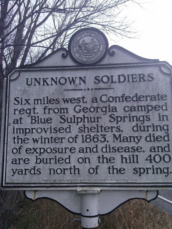
Unknown Soldiers
Six miles west, a Confederate regt. from Georgia camped at Blue Sulphur Springs in improvised shelters, during the winter of 1863. Many died of exposure and disease, and are buried on the hill 400 yards north of the spring.
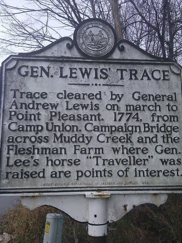
Gen. Lewis' Trace
Trace cleared by General Andrew Lewis on march to Point Pleasant, 1774, from Camp Union. Campaign Bridge across Muddy Creek and the Fleshman Farm where Gen. Lee's horse "Traveller" was raised are points of interest.
Erected 1980.
Topics and series. This memorial is listed in these topic lists: Colonial Era • War, US Civil. In addition, it is included in the West Virginia Archives and History series list. A significant historical year for this entry is 1774.
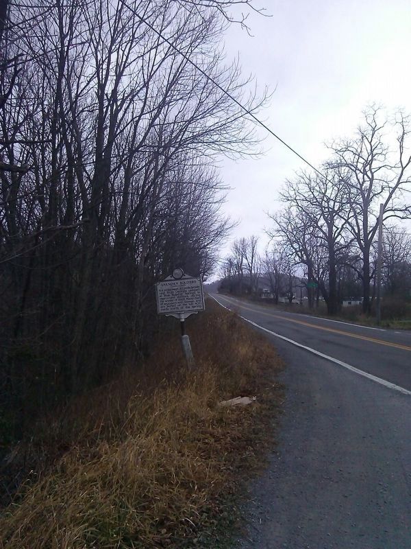
Location. 37° 48.983′ N, 80° 33.921′ W. Marker is near Asbury, West Virginia, in Greenbrier County. Memorial is on Alta Dr (West Virginia Route 12). Touch for map. Marker is at or near this postal address: 3865 Alta Dr, Asbury WV 24916, United States of America. Touch for directions.
Other nearby markers. At least 8 other markers are within 5 miles of this marker, measured as the crow flies. Andrew & Charles Lewis March (approx. 3.9 miles away); The Pavilion (approx. 4.1 miles away); Blue Sulphur Springs, WV (approx. 4.1 miles away); Blue Sulphur Springs Confederate Burial Ground
Credits. This page was last revised on November 28, 2016. It was originally submitted on November 27, 2016, by Roger Miller of Pulaski, Virginia. This page has been viewed 685 times since then and 40 times this year. Photos: 1, 2, 3. submitted on November 27, 2016, by Roger Miller of Pulaski, Virginia. • Bill Pfingsten was the editor who published this page.


