Allandale in Austin in Travis County, Texas — The American South (West South Central)
Austin Memorial Park Cemetery
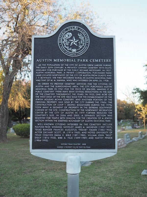
As the population of the city of Austin grew larger during the early 20th century, a privately owned cemetery with plots available for purchase by the public became necessary. In 1927, Austin Memorial Park, a private corporation, purchased farm land located northwest of the city of Austin from Gladys and J.T. Bowman. The first recorded burial in Austin Memorial Park was that of M.A. Hanna, who was interred on April 26, 1928.
In order to provide cemetery services for the citizens of Austin and the surrounding area, the city purchased Austin Memorial Park in 1941 for the price of $56,000, making it a public cemetery. There have been several reductions in size of the cemetery throughout the years. In 1933, one acre on the west edge of the site was sold for the establishment of the Jewish Agudas Achim Cemetery, and another portion of the original property was sold by the city during the 1960s. The construction of Loop 1 (Mopac Boulevard) during the 1970s took away a segment of property in the extreme southwest corner of the site. Construction of the Northwest Recreation Center by the city of Austin in 1979 further reduced the cemetery's size. In 2004 and 2005, a separate section was reserved for Temple Beth Shalom for the creation of a Jewish section within the existing boundary of Austin Memorial Park.
Well-known citizens interred in the cemetery include Pulitzer Prize-winning novelist James A. Michener (1907-1997), Texas Ranger Frances Augustus "Frank" Hamer (1884-1955), actor Zachary Scott, Jr. (1914-1965), and noted University of Texas coaches Dana X. Bible (1891-1980), William John "Billy" Disch (1874-1953), Bibb A. Falk (1899-1989) and Harvey Penick (1904-1995).
Historic Texas Cemetery - 2008
Marker is Property of the State of Texas
Erected 2008 by Texas Historical Commission. (Marker Number 15775.)
Topics. This historical marker is listed in this topic list: Cemeteries & Burial Sites. A significant historical date for this entry is April 26, 1928.
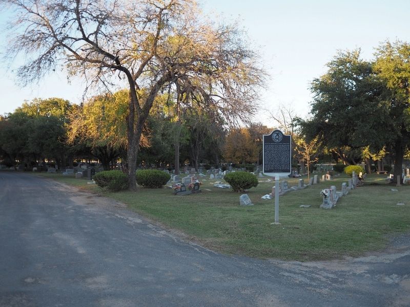
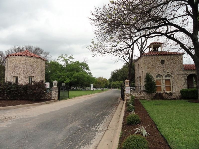
Location. 30° 19.721′ N, 97° 44.962′ W. Marker is in Austin, Texas, in Travis County. It is in Allandale. Marker can be reached from the intersection of Hancock Drive and Bull Creek Road, on the right when traveling west. The marker is located just inside the entrance to the cemetery. Touch for map. Marker is at or near this postal address: 2800 Hancock Drive, Austin TX 78731, United States of America. Touch for directions.
Other nearby markers. At least 8 other markers are within 2 miles of this marker, measured as the crow flies. Moore-Hancock Farmstead (approx. 0.7 miles away); Davis Cemetery (approx. 1.1 miles away); Adjutants General (approx. 1.2 miles away); Texas in the Civil War (approx. 1.2 miles away); Camp Mabry Historic District (approx. 1.2 miles away); Rainey House (approx. 1.3 miles away); The Radkey House (approx. 1.4 miles away); Congregation Beth Israel (approx. 1.4 miles away). Touch for a list and map of all markers in Austin.

Photographed By Richard Denney
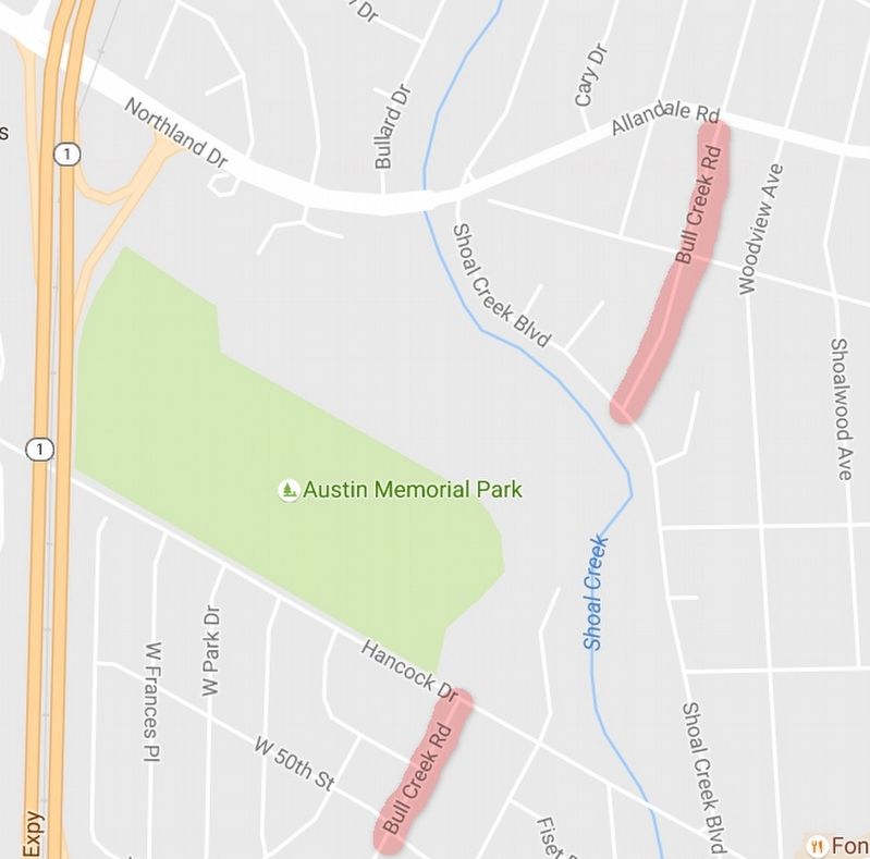
4. Bull Creek Road
Not mentioned on the marker, the establishment of the cemetery subsumed part of one of Austin's early roads, Bull Creek Road. This is visible on today's maps; Bull Creek Road going north ends at the entrance to the cemetery, then resumes on the northern boundary. Map courtesy Google Maps, 2016
Credits. This page was last revised on February 1, 2023. It was originally submitted on November 29, 2016, by Richard Denney of Austin, Texas. This page has been viewed 889 times since then and 108 times this year. Photos: 1, 2. submitted on November 29, 2016, by Richard Denney of Austin, Texas. 3. submitted on March 18, 2020, by Keith Peterson of Cedar Park, Texas. 4. submitted on November 29, 2016, by Richard Denney of Austin, Texas. • Bernard Fisher was the editor who published this page.


