Innenstadt I in Frankfurt am Main, Hesse, Germany — Central Europe
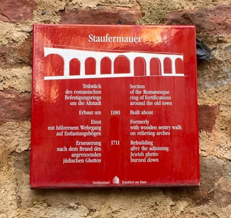
Staufermauer
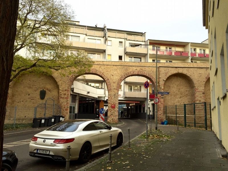
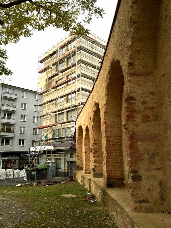
Section of the Romanesque ring of fortifications around the Old Town
1180
Erbaut um
Built about
Einst mit hölzernem Wehrgang auf Entlastungsbögen
Formerly with wooden sentry walk on the relieving arches
1711
Erneuerung nach dem Brand des angrenzenden jüdischen Ghettos
Rebuilding after the adjoining Jewish ghetto burned down
Erected by Denkmalamt Frankfurt am Main.
Topics. This historical marker is listed in this topic list: Forts and Castles.
Location. 50° 6.816′ N, 8° 41.203′ E. Marker is in Innenstadt I, Hessen (Hesse), in Frankfurt am Main. Marker is on An der Staufermauer, 0 kilometers east of Fahrgasse, on the left when traveling east. Touch for map. Marker is in this post office area: Innenstadt I HE 60311, Germany. Touch for directions.
Other nearby markers. At least 8 other markers are within walking distance of this marker. Jewish Ghetto Gate (within shouting distance of this marker); Tugendbrunnen / The Virtue Fountain (about 180 meters away, measured in a direct line); Dominikanerkloster / Dominican Monastery (about 180 meters away); Johann Wolfgang Textor (about 210 meters away); Börneplatz Synagogue (about 240 meters away); Friedrich Stoltze Geburtshaus / Birthplace (approx. 0.3 kilometers away); Alter Jüdische Friedhof / Old Jewish Cemetery (approx. 0.3 kilometers away); Frankfurt Romani Memorial (approx. 0.4 kilometers away). Touch for a list and map of all markers in Innenstadt I.
Also see . . . Staufenmauer (Wikipedia.de). [English translation, follow the link for the original German:] The Staufenmauer is an ancient city wall in Frankfurt am Main, of which small remnants are still preserved....It was built in 1180 during Swabian rule (1138-1254) to protect the city against attacks, and enclosed, roughly speaking, modern Frankfurt's Old Town. It was about seven meters high and two to three meters thick wall and made of rubble, on top of which ran a walkway, and with a dry ditch on the exterior. It had only three gates.... (Submitted on December 6, 2016.)

Photographed By Andrew Ruppenstein, November 22, 2016
3. Staufermauer - Additional Marker
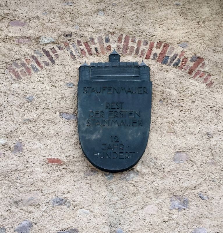
On the other side of the archway (to the left) is an additional related marker, reading: Staufenmauer - Rest der ersten Stadtmauer - 12.Jahrhundert, which translates as, "Staufenmauer - remains of the first city walls - 12th Century."
Credits. This page was last revised on January 28, 2022. It was originally submitted on December 6, 2016, by Andrew Ruppenstein of Lamorinda, California. This page has been viewed 293 times since then and 10 times this year. Photos: 1, 2, 3, 4. submitted on December 6, 2016, by Andrew Ruppenstein of Lamorinda, California.


