Santiago de Querétaro in Querétaro, Mexico — The Central Highlands (North America)
Aqueduct
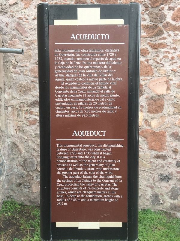
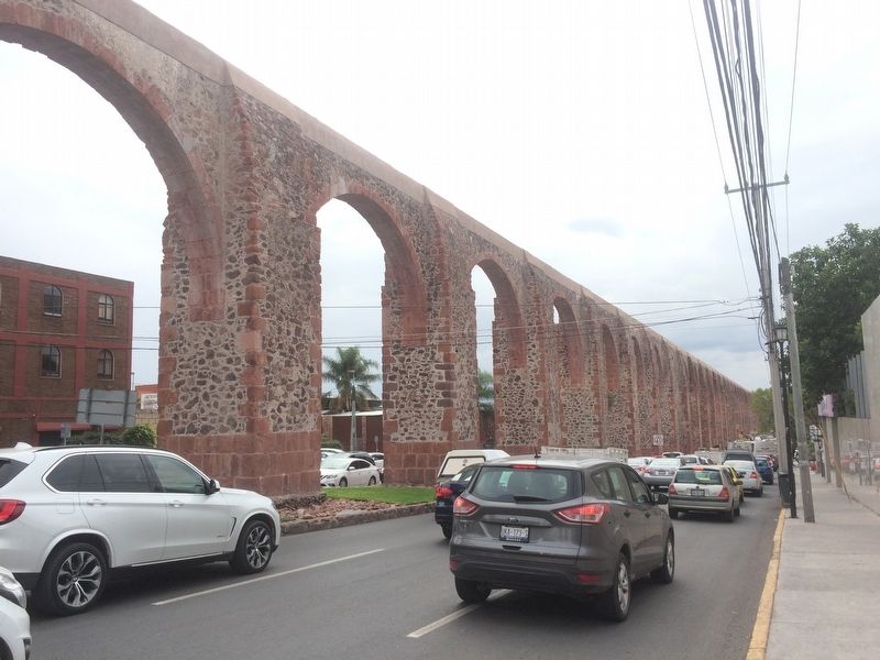
El Acueducto conducía el líquido vital desde los manantiales de La Cañada al Convento de la Cruz, salvando el valle de Carretas mediante 74 arcos de medio punto, edificados en mampostería de cal y canto sustentados en pilares de 20 metros de cuadro en base, 18 metros de profundidad en cimientos, arcos de 5.85 metros de radio y altura máxima de 28.5 metros.
The aqueduct brings the vital liquid from the springs of La Cañada to the Convent of La Cruz protecting the valley of Carretas. The structure consists of 74 concrete and stone arches, which are 20 square meters at the base, 18 deep at the foundation, arches with a radius of 5.85 m and a maximum height of 28.5 m.
Topics. This historical marker is listed in these topic lists: Charity & Public Work • Colonial Era • Man-Made Features. A significant historical year for this entry is 1726.
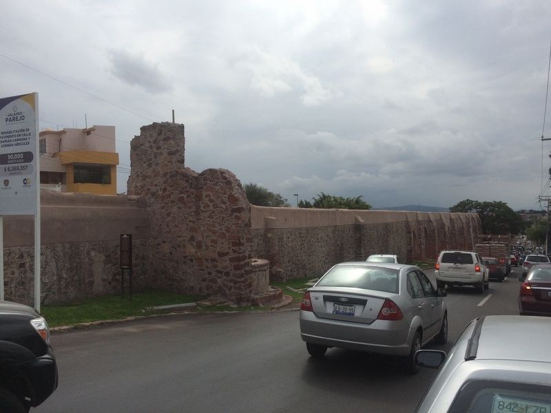
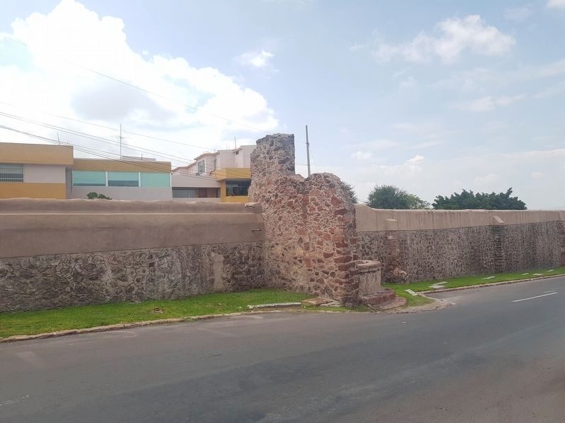
Location. Marker has been permanently removed. It was located near 20° 35.929′ N, 100° 22.17′ W. Marker was in Santiago de Querétaro, Querétaro. Marker was on Calzada de los Arcos just south of Calle Villa los Arcos, in the median. Touch for map. Marker was at or near this postal address: Calzada de los Arcos 171, Santiago de Querétaro QUE 76024, Mexico.
We have been informed that this sign or monument is no longer there and will not be replaced. This page is an archival view of what was.
Other nearby markers. At least 8 other markers are within walking distance of this location. St. James the Pilgrim (within shouting distance of this marker); The Ahuehuete of the Querétaro River (approx. 0.4 kilometers away); Our Lady of Montserrat (approx. 0.6 kilometers away); El Camino Real de Tierra Adentro
(approx. 1.3 kilometers away); The Aqueduct of Querétaro (approx. 1.3 kilometers away); Ignacio Pérez (approx. 1.3 kilometers away); Epigmenio González (approx. 1.3 kilometers away); In Honor of the Workers of Hércules (approx. 1.3 kilometers away). Touch for a list and map of all markers in Santiago de Querétaro.
Credits. This page was last revised on September 15, 2018. It was originally submitted on December 7, 2016, by J. Makali Bruton of Accra, Ghana. This page has been viewed 229 times since then and 8 times this year. Photos: 1, 2, 3. submitted on December 7, 2016, by J. Makali Bruton of Accra, Ghana. 4. submitted on September 15, 2018, by J. Makali Bruton of Accra, Ghana. 5. submitted on December 7, 2016, by J. Makali Bruton of Accra, Ghana.


