Fort Payne in DeKalb County, Alabama — The American South (East South Central)
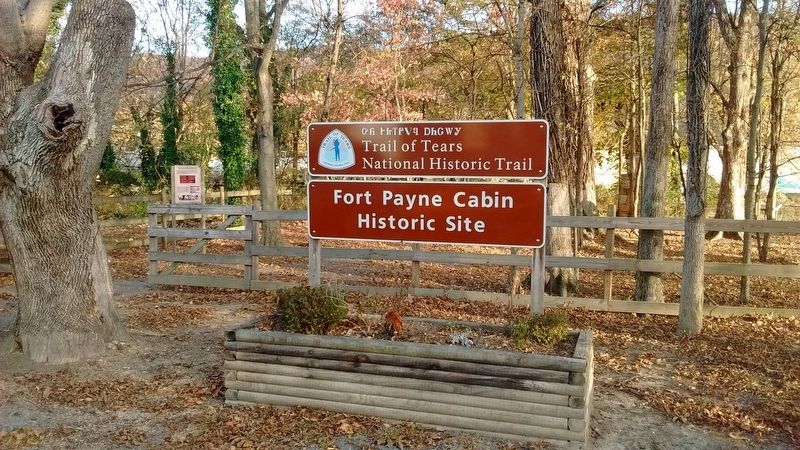
Fort Payne Cabin Historic Site
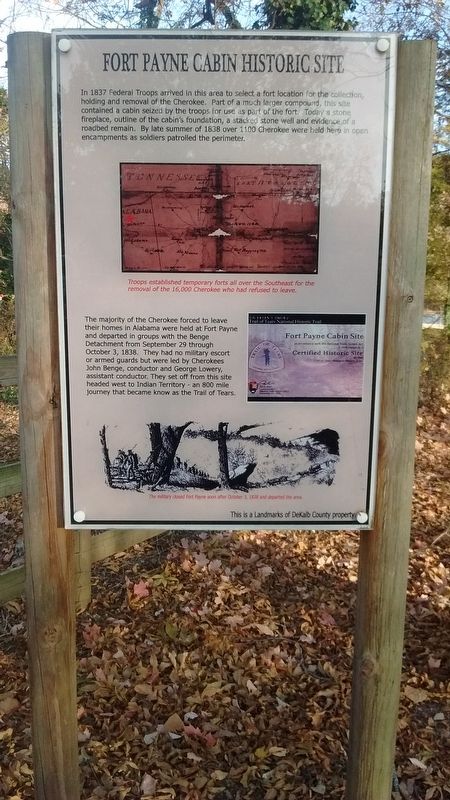
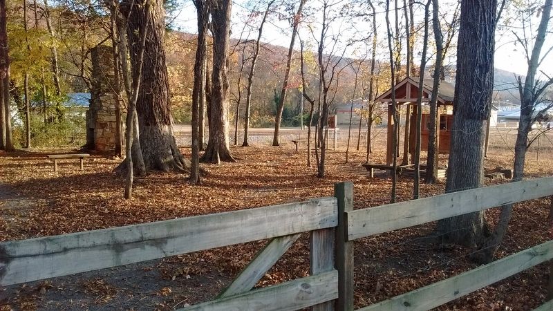
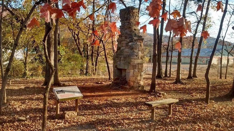
In 1837 Federal Troops arrived in this area to select a fort location for the collection, holding and removal of the Cherokee. Part of a much larger compound, this site contained a cabin seized by the troops for use as part of the fort. Today a stone fireplace, outline of the cabin's foundation, a stacked stone well and evidence of a roadbed remain. By late summer 1838 over 1100 Cherokee were held here in open encampments as soldiers patrolled the perimeter.
The majority of the Cherokee forced to leave their homes in Alabama were held at Fort Payne and departed in groups with the Benge Detachment from September 29 through October 3, 1838. They had no military escort or armed guards but were led by Cherokees John Benge, conductor George Lowery, assistant conductor. They set off from this site headed west to Indian Territory - an 800 mile journey that became known as the Trail of Tears.
Topics and series. This historical marker is listed in these topic lists: Forts and Castles • Native Americans. In addition, it is included in the Trail of Tears series list. A significant historical year for this entry is 1837.
Location. 34° 26.283′ N, 85° 43.433′ W. Marker is in Fort Payne, Alabama, in DeKalb County. Marker can be reached from 4th Street near Gault Avenue South (Alabama Route 35) when traveling east. 4th Street dead-ends at the historic site. Touch for map. Marker is in this post office area: Fort Payne AL 35967, United States of America. Touch for directions.
Other nearby markers. At least 8 other markers are within walking distance of this marker. Cherokee Indian Removal (about 600 feet away, measured in a direct line); Main Street Historic District (about 800 feet away); Alabama (approx. 0.4 miles away); Whittler's Corner (approx. 0.4 miles away); Sequoyah (approx. 0.4 miles away); Wills Town Mission (approx. 0.4 miles away); Fort Payne’s Fort (approx. 0.4 miles away); Confederate Monument (approx. half a mile away). Touch for a list and map of all markers in Fort Payne.
Also see . . .
1. Tail of Tears. History website entry (Submitted on January 2, 2017, by Byron Hooks of Sandy Springs, Georgia.)
2. "Unto These Hills" Outdoor Drama Retells the Trail of Tears in Cherokee, NC. Cherokee Historical Association website entry (Submitted on January 4, 2021, by Larry Gertner of New York, New York.)
3. Fort Payne Cabin Historic Site. Fort Payne Cabin Site
In 1837, federal troops arrived in Wills Valley to establish a fort to remove removing the Cherokee Indians from the area. The cabin site is part of local property seized by the military for Fort Payne, one of over 20 removal forts (stockades) established in Alabama, Georgia, and North Carolina. Research indicates the cabin belonged to Cherokee John Huss (Spirit the Preacher) and was built circa 1825. Historical documents show that Cantonment Payne existed as early as fall 1837, became Fort Payne by December 1837, and was a major emigrating depot by the fall of 1838. The majority of Cherokee who were forced by the military to leave their homes in Alabama left from Fort Payne. A detachment led by Cherokee John Benge departed for Indian Territory in October of 1838, and the fort was closed soon after. Although the fort was used for only about a year, the cabin continued in use until the mid-1940s. Today a chimney, the cabin foundation, and a nearby stacked stone well remain.(Submitted on March 31, 2023, by Sandra Hughes Tidwell of Killen, Alabama, USA.)
Photographed By Tom Bosse, November 25, 2016
3. The Route
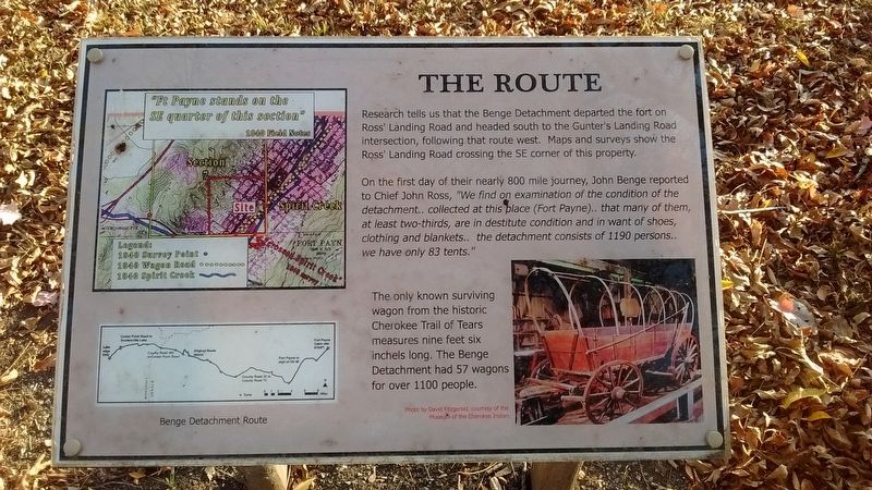
Research tells us that the Benge Detachment departed the fort on Ross' Landing Road and headed south to the Gunter's Landing Road intersection, following that route west. Maps and surveys show the Ross' Landing Road crossing the SE corning of this property.
On the first day of their nearly 800 mile journey, John Benge reported to Chief John Ross, "We find on examination of the condition of the detachment.. collected at this place (Fort Payne).. that many of them, at least two-thirds, are in destitute condition and in want of shoes, clothing and blankets.. the detachment consists of 1190 persons.. we have only 83 tents."
The only known surviving wagon from the historic Cherokee Trail of Tears measures nine feet six inches long. The Benge Detachment had 57 wagons for over 1100 people.
Photographed By Tom Bosse, November 25, 2016
5. Stacked Stone Well
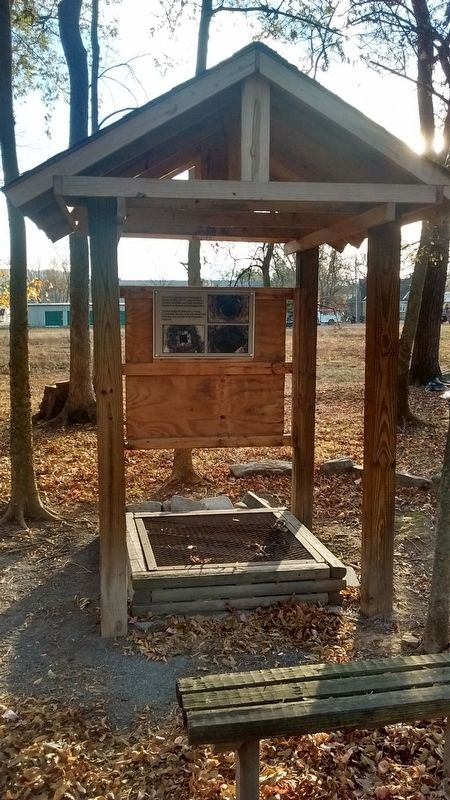
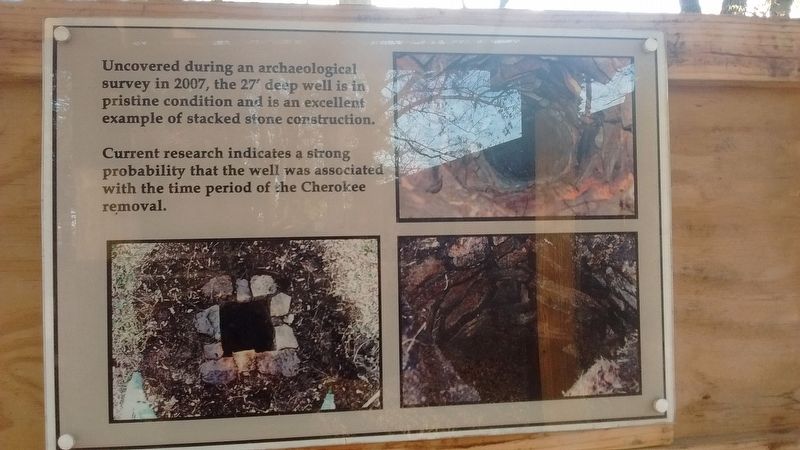
Uncovered during an archaeological survey in 2007, the 27' deep well is in pristine condition and is an excellent example of stacked stone construction.
Current research indicates a strong probability that the well was associated with the time period of the Cherokee removal.
Photographed By Tom Bosse, November 25, 2016
7. Spirit the Preacher (John Huss) Cabin Marker
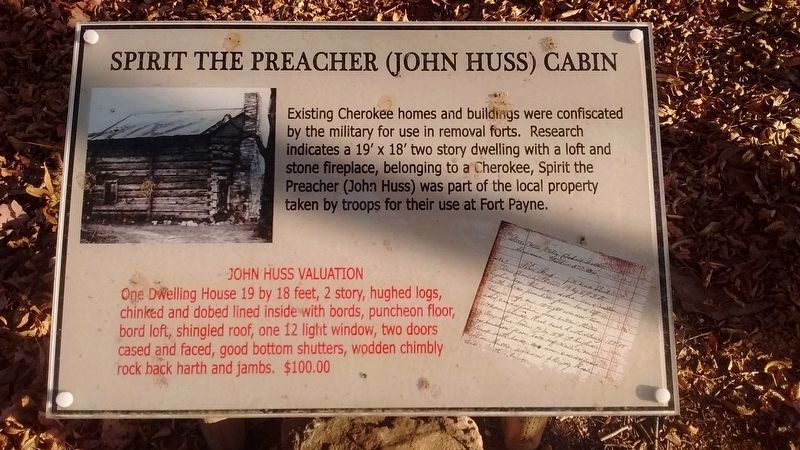
Existing Cherokee homes and buildings were confiscated by the military for use in removal forts. Research indicates a 19' x 18' two story swelling with a loft and stone fireplace, belonging to a Cherokee, Spirit the Preacher (John Huss) was part of the local property taken by troops for their use at Fort Payne.
John Huss Valuation
One Dwelling House 19 by 18 feet, 2 story, hughed logs, chinked and dobed lined inside with bords, puncheon floor, bord loft, shingled roof, one 12 light window, two doors cased and faced, good bottom shutters, wodden chimbly rock back harth and jambs. $100.00
Photographed By Tom Bosse, November 25, 2016
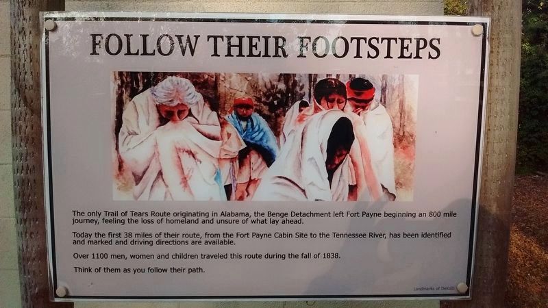
9. Follow Their Footsteps
The only Trail of Tears Route originating in Alabama, the Benge Detachment left Fort Payne beginning an 800 mile journey, feeling the loss of homeland and unsure of what lay ahead.
Today the first 38 miles of their route, from the Fort Payne Cabin Site to the Tennessee River, has been identified and marked and driving directions are available.
Over 1100 men,, women and children traveled this route during the fall of 1838.
Think of them as you follow their path.
Credits. This page was last revised on April 2, 2023. It was originally submitted on December 7, 2016, by Tom Bosse of Jefferson City, Tennessee. This page has been viewed 1,129 times since then and 54 times this year. Photos: 1, 2, 3, 4, 5, 6. submitted on December 7, 2016, by Tom Bosse of Jefferson City, Tennessee. 7, 8, 9. submitted on December 8, 2016, by Tom Bosse of Jefferson City, Tennessee. • Bernard Fisher was the editor who published this page.
