Keno in Klamath County, Oregon — The American West (Northwest)
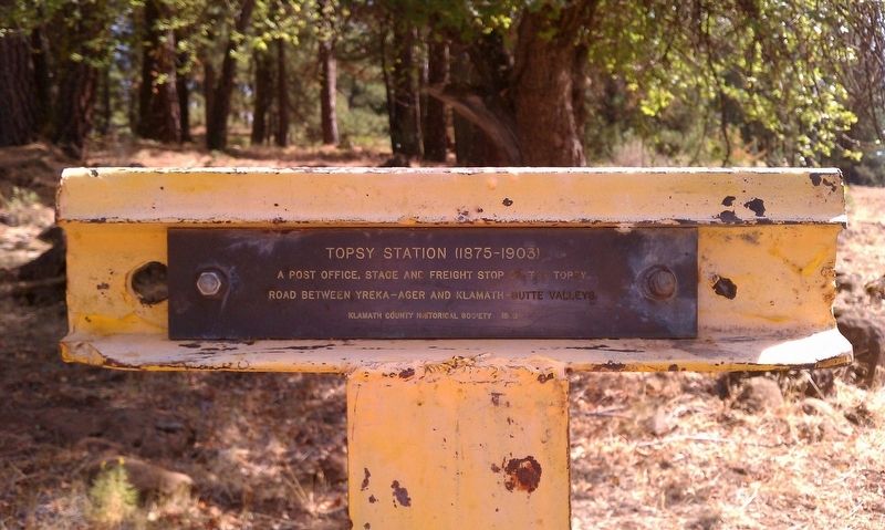
Topsy Station
1875-1903
Road between Yreka-Ager and Klamath-Butte Valleys.
Erected 1978 by Klamath County Historical Society.
Topics and series. This historical marker is listed in this topic list: Notable Places. In addition, it is included in the Postal Mail and Philately series list.
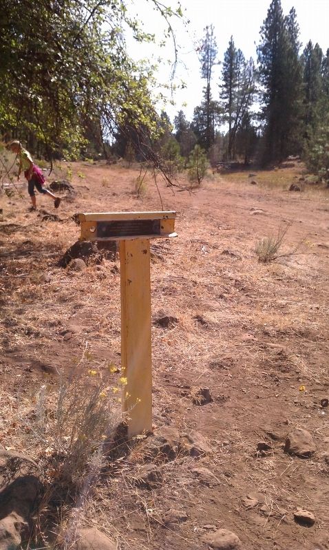
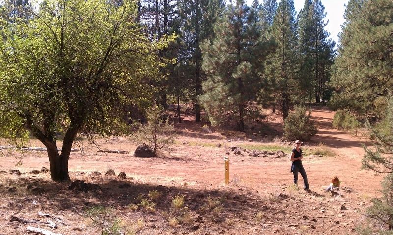
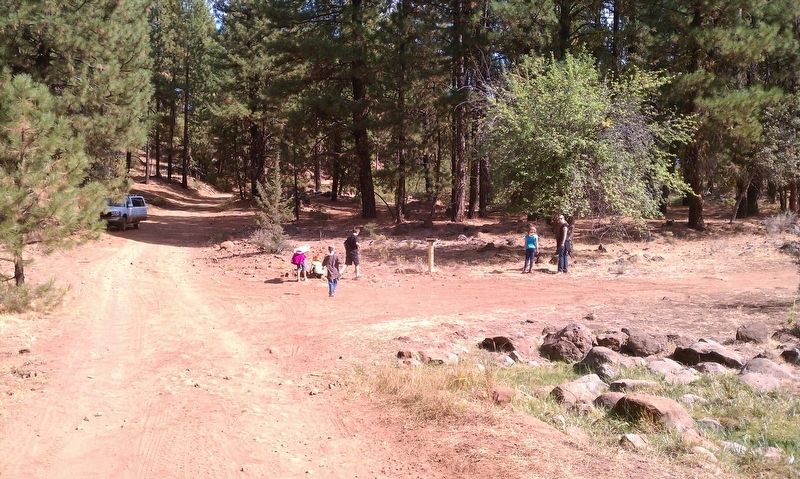
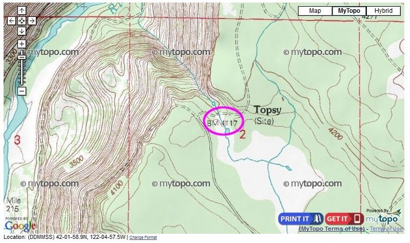
Location. 42° 1.991′ N, 122° 4.955′ W. Marker is in Keno, Oregon, in Klamath County. Marker is on Topsy Grade Road, on the left when traveling west. Touch for map. Marker is in this post office area: Keno OR 97627, United States of America. Touch for directions.
Other nearby markers. At least 8 other markers are within 8 miles of this marker, measured as the crow flies. "Robber's Rock." (approx. 1.3 miles away); Kerwin Ranch (approx. 2˝ miles away); Freight and Stage Road (approx. 6.1 miles away); Weyerhaeuser Camp 3 (approx. 6.6 miles away); Picard California (approx. 7.2 miles away in California); New Pokegama - 1903-1909 (approx. 7.2 miles away); Algoma Sawmill (approx. 7.3 miles away); Bear Valley (approx. 7˝ miles away). Touch for a list and map of all markers in Keno.
More about this marker. This marker is one of many 'T' markers located throughout Klamath County.
Regarding Topsy Station. The following is taken from Stephen Beckham's Historical landscape overview of the upper Klamath River Canyon of Oregon and California to describe the former site of Topsy and it reads:
This site, also known as Elgin House, was a stage station, residence, post office, and school is located in T41S, R6E, Section 2, NE 1/4, W.M. (USDA 1997; USGS 1986b). Major Watson Overton and his family settled at this site as early as 1883 and offered services to travelers and freighters on the Topsy Road. Subsequent to the separation of the Overtons, Elizabeth Elgin lived at this location and served meals to travelers. She and her son, Charles Elgin, resided in a two-story, frame house but seldom took in lodgers (Hutchinson 1976; Moore 1884a).
Two different schools stood near Topsy prior to the removal of teaching to a building at the base of the grade to the west. Former stage driver Dan Doten recalled in 1948: "Topsy Station was just at the top of the grade on the left side of the road going that way (Yreka)" (Anonymous 1977a:5; 1977e:123). A sawmill operated at the far end of the meadow about a mile to the east of the stage house until the advent of Kesterson' s logging operations in the area about 1900 (Helfrich 1976a).
According to Doten, Topsy was named for a woman "big and fat" who lived in Yreka. She was possibly African-American (Anonymous l 977e: I 23; Hessig 1977:86). Alice (Overton) Hessig, however, quoted her father, longtime resident and postmaster at Topsy, who said: "The old freighters that traveled the long steep rough road called it Topsy, thence Topsy Grade" (Hessig 1978: 16).
Also see . . . Historical landscape overview of the upper Klamath River Canyon of Oregon and California. This PDF highlights some interesting history to include former towns, logging sites and other places of interest. (Submitted on December 8, 2016, by Douglass Halvorsen of Klamath Falls, Oregon.)
Credits. This page was last revised on December 12, 2016. It was originally submitted on December 8, 2016, by Douglass Halvorsen of Klamath Falls, Oregon. This page has been viewed 673 times since then and 66 times this year. Photos: 1, 2, 3, 4, 5. submitted on December 8, 2016, by Douglass Halvorsen of Klamath Falls, Oregon. • Bill Pfingsten was the editor who published this page.
