Winston-Salem in Forsyth County, North Carolina — The American South (South Atlantic)
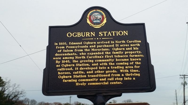
Ogburn Station
Erected 2013 by Winston-Salem Historic Marker Program.
Topics. This historical marker is listed in these topic lists: Agriculture • Industry & Commerce • Railroads & Streetcars • Settlements & Settlers. A significant historical year for this entry is 1800.
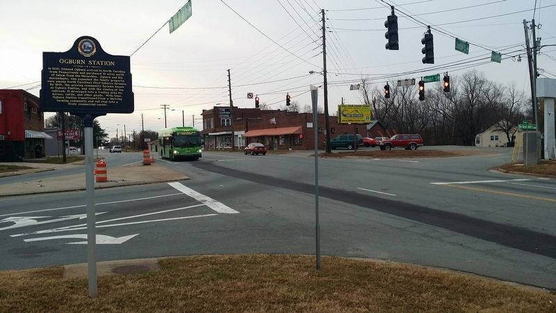
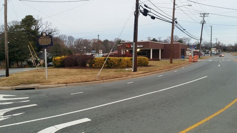
Location. 36° 8.916′ N, 80° 13.487′ W. Marker is in Winston-Salem, North Carolina, in Forsyth County. Marker is at the intersection of Old Rural Hall Road and Old Walkertown Road, on the right when traveling north on Old Rural Hall Road. Touch for map. Marker is in this post office area: Winston Salem NC 27105, United States of America. Touch for directions.
Other nearby markers. At least 8 other markers are within 3 miles of this marker, measured as the crow flies. Carver High School (approx. 1.3 miles away); Odd Fellows Cemetery (approx. 2.1 miles away); Bowen Park Neighborhood (approx. 2.2 miles away); George Black House and Brickyard (approx. 2.4 miles away); Fourteenth Street School (approx. 2˝ miles away); Fourteenth Street Elementary School (approx. 2˝ miles away); (Former) Atkins High School (approx. 2.7 miles away); Lowman Pauling & The "5" Royales (approx. 2.7 miles away). Touch for a list and map of all markers in Winston-Salem.
Credits. This page was last revised on March 23, 2021. It was originally submitted on December 11, 2016, by Michael C. Wilcox of Winston-Salem, North Carolina. This page has been viewed 837 times since then and 42 times this year. Photos: 1, 2, 3. submitted on December 11, 2016, by Michael C. Wilcox of Winston-Salem, North Carolina.


