Maynardville in Union County, Tennessee — The American South (East South Central)
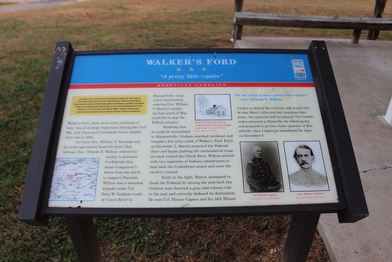
Walker's Ford
"A pretty little repulse"
— Knoxville Campaign —
On November 4, 1863, to divert Federal forces from Chattanooga, Confederate General James Longstreet led two reinforced divisions from the city to attack Union Gen. Ambrose E. Burnside's garrison in Knoxville. Burnside confronted Longstreet outside Knoxville then withdrew to his fortifications on November 17, and Longstreet besieged the city. In Chattanooga, after Union Gen. Ulysses S. Grant's army defeated Confederate Gen. Braxton Bragg's forces at the end of the month, Grant ordered Gen. William T. Sherman to reinforce Burnside. As Sherman marched toward Knoxville, Longstreet withdrew on December 4. Sherman soon rejoined Grant.
(main text)
Walker's Ford, about three miles northeast of here, was of strategic importance during the Civil War, and Union and Confederate forces clashed there late in 1863.
As Union Gen. William T. Sherman and his army approached Knoxville from Chattanooga, Gen. Orlando B. Willcox ordered his cavalry to pressure Confederate Gen. James Longstreet's forces from the north to support Sherman. Willcox sent a mounted brigade under Col. Felix W. Graham south of Clinch River to Maynardville. Longstreet countered by ordering Gen. William T. Martin's cavalry up from south of Maynardville to stop the Federal advance.
Realizing that he could be surrounded in Maynardville, Graham marched northeast and camped a few miles south of Walker's Ford. Early on December 2, Martin surprised the Federals there and began pushing the outnumbered troopers back toward the Clinch River. Willcox arrived with two regiments of Indiana infantrymen to beat back the Confederate attack and cover the cavalry's retreat.
Early in the fight, Martin attempted to flank the Federals by seizing the next ford, but Graham had observed a gray-clad column ride to the east and correctly deduced its destination. He sent Col. Horace Capron and his 14th Illinois Cavalry to defend the crossing, and armed with 16-shot Henry rifles and four mountain howitzers, the regiment held its ground. The Confederates returned to Knoxville the following day and prepared to go into winter quarters at Russellville when Longstreet abandoned the siege on December 4.
"On the whole it was a pretty little repulse."
—Gen. Orlando B. Wilcox
Erected by Tennessee Civil War Trails.
Topics and series. This historical marker is listed in this topic list: War, US Civil. In addition, it is included in the Tennessee Civil War Trails series list. A significant historical date for this entry is December 2, 1863.
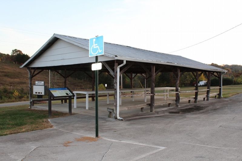
Location. 36° 19.183′ N, 83° 43.1′ W. Marker is in Maynardville, Tennessee, in Union County. Marker is on Walker's Ford Road south of Wild Turkey Lane, on the left when traveling north. Marker located at Hickory Valley Missionary Baptist Church. Touch for map. Marker is at or near this postal address: 2229 Walkers Ford Road, Maynardville TN 37807, United States of America. Touch for directions.
Other nearby markers. At least 8 other markers are within 8 miles of this marker, measured as the crow flies. The Johnson Mill (approx. 5.1 miles away); Horace Maynard (approx. 6.6 miles away); Roy Claxton Acuff (approx. 6.6 miles away); Divided Loyalties (approx. 6.8 miles away); Union County World War I Monument (approx. 6.8 miles away); Barren Creek Dam Failures (approx. 7.4 miles away); Wilson Park (approx. 7.9 miles away); Veterans Memorial Bridge (approx. 7.9 miles away). Touch for a list and map of all markers in Maynardville.
Credits. This page was last revised on March 27, 2017. It was originally submitted on December 3, 2016, by Tom Bosse of Jefferson City, Tennessee. This page has been viewed 1,189 times since then and 54 times this year. Last updated on December 16, 2016, by Byron Hooks of Sandy Springs, Georgia. Photos: 1, 2. submitted on December 3, 2016, by Tom Bosse of Jefferson City, Tennessee. • Bernard Fisher was the editor who published this page.

