St. Augustine in St. Johns County, Florida — The American South (South Atlantic)
The Powder House Lot / St. Johns County
Inscription.
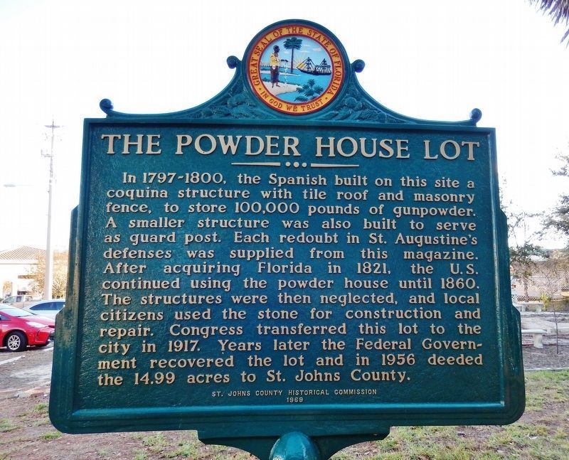
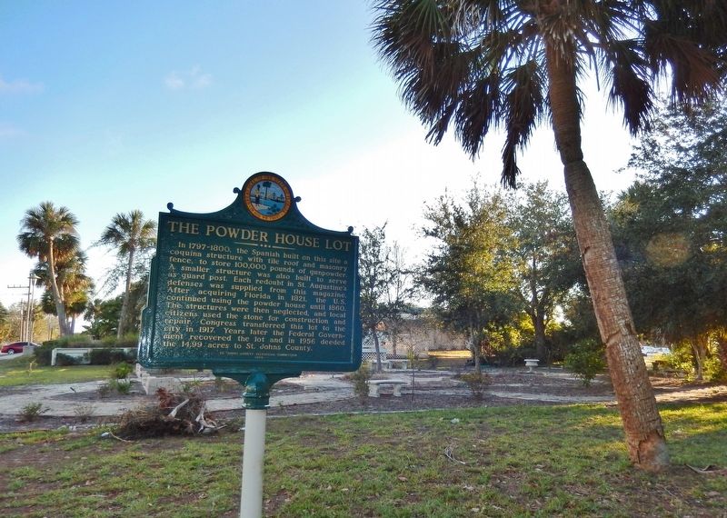
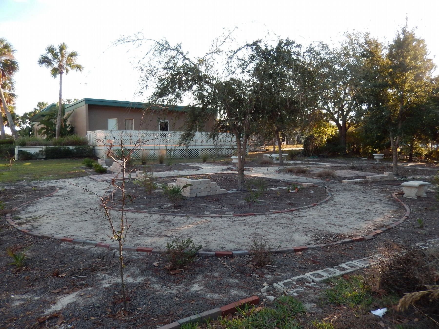
The Powder House Lot
In 1797–1800, the Spanish built on this site a coquina structure with tile roof and masonry fence, to store 100,000 pounds of gunpowder. A smaller structure was also built to serve as guard post. Each redoubt in St. Augustine’s defenses was supplied from this magazine. After acquiring Florida in 1821, the U.S. continued using the powder house until 1860. The structures were then neglected, and local citizens used the stone for construction and repair. Congress transferred this lot to the city in 1917. Years later the Federal Government recovered the lot and in 1956 deeded the 14.99 acres to St. Johns County.
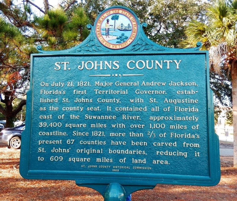
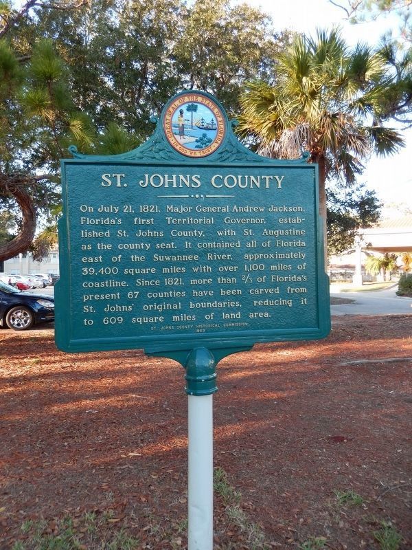
St. Johns County
On July 21, 1821, Major General Andrew Jackson, Florida’s first territorial Governor, established St. Johns County, with St. Augustine as the county seat. It contained all of Florida east of the Suwannee River, approximately 39,400 square miles with over 1,100 miles of coastline. Since 1821, more than 2/3 of Florida’s present 67 counties have been carved from St. John’s original boundaries, reducing it to 609 square miles of land area.
Erected 1969 by St. Johns County Historical Commission.
Topics and series. This historical marker is listed in these topic lists: Colonial Era • Hispanic Americans • Settlements & Settlers. In addition, it is included in the Former U.S. Presidents: #07 Andrew Jackson series list. A significant historical date for this entry is July 21, 1821.
Location. 29° 52.888′ N, 81° 18.48′ W. Marker is in St. Augustine, Florida, in St. Johns County. Marker is on Marine Street, 0.1 miles south of Hedrick Street, on the right when traveling south. The marker and the referenced Powder House Lot are across street from the Bayview Healthcare facility. Touch for map. Marker is at or near this postal address: 161 Marine Street, Saint Augustine FL 32084, United States of America. Touch for directions.
Other nearby markers. At least 8 other markers are within walking distance of this marker. Mission of Nuestra Señora del Rosario de La Punta (about 700 feet away, measured in a direct line); Last Slave Cabin (approx. 0.3 miles away); a different marker also named The Last Slave Cabin (approx. 0.3 miles away); 94 South Street (approx. 0.3 miles away); Dade Pyramids (approx. 0.3 miles away); Address by President Lincoln (approx. 0.3 miles away); 160 M.L. King Avenue (approx. 0.3 miles away); 156 M.L. King Avenue (approx. 0.3 miles away). Touch for a list and map of all markers in St. Augustine.
Also see . . .
1. St. Johns County, Florida.
The county was established in 1821. It is
one of the two original counties established after Florida was ceded to the United States, at the start of the Florida Territorial period, and corresponded roughly with the former colonial province of East Florida. It was named for the St. Johns River, which runs along its western border. (Submitted on December 22, 2016, by Cosmos Mariner of Cape Canaveral, Florida.)
2. Andrew Jackson.
On March 10, 1821, U.S. President James Monroe appointed General Andrew Jackson Commissioner of the United States to take possession of Florida and gave him the full powers of governor. Jackson accepted the office only on the condition that he could resign as soon as the territorial government was organized. (Submitted on December 22, 2016, by Cosmos Mariner of Cape Canaveral, Florida.)
Credits. This page was last revised on August 20, 2020. It was originally submitted on December 21, 2016, by Cosmos Mariner of Cape Canaveral, Florida. This page has been viewed 441 times since then and 33 times this year. Photos: 1. submitted on December 22, 2016, by Cosmos Mariner of Cape Canaveral, Florida. 2. submitted on December 21, 2016, by Cosmos Mariner of Cape Canaveral, Florida. 3, 4, 5. submitted on December 22, 2016, by Cosmos Mariner of Cape Canaveral, Florida. • Bernard Fisher was the editor who published this page.
