Marker Logo HMdb.org THE HISTORICAL
MARKER DATABASE
“Bite-Size Bits of Local, National, and Global History”
Glen Arbor in Leelanau County, Michigan — The American Midwest (Great Lakes)
 

Sleeping Bear Point Life Saving Station.

Sleeping Bear Dunes National Lakeshore


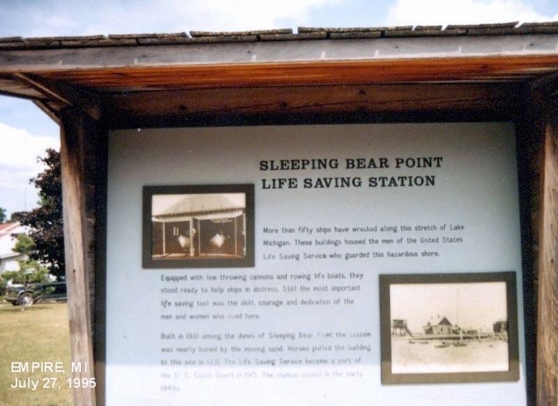
Sleeping Bear Point Life Saving Station. Marker image. Click for full size.
Photographed By Don Morfe, June 27, 1995
1. Sleeping Bear Point Life Saving Station. Marker
Inscription.
More than fifty ships have wrecked along this stretch of Lake Michigan. These buildings housed the men of the United States Life Saving Service who guarded this hazardous shore. Equipped with line throwing cannons and rowing life boats, they stood ready to help ships in distress. Still, the most important life saving tool was the skill, courage and dedication of the men and women who live here.

Built in 1901 along the dunes of Sleeping Bear Point, the station was nearly buried by the moving sand. Horses pulled the building to this site in 1930. The Life Saving Service became a part of the U.S. Coast Guard. The station served until the early 1940’s.
 
Erected by National Park Service, U.S. Department of the Interior.
 
Topics. This historical marker is listed in these topic lists: Notable PlacesWaterways & Vessels. A significant historical year for this entry is 1901.
 
Location. 44° 54.45′ N, 86° 2.058′ W. Marker is in Glen Arbor, Michigan, in Leelanau County. Marker is on Sleeping Bear Drive. The marker is on the grounds of the Sleeping Bear Dunes National Lakeshore. Touch for map. Marker is at or near this postal address: 8799 Sleeping Bear Drive, Glen Arbor MI 49636, United States of America. Touch for directions.
 
Other nearby markers. At least 8 other markers are within 8 miles of this marker, measured as the crow flies. The Moving Dune

Paid Advertisement
Click on the ad for more information.
Please report objectionable advertising to the Editor.
Click or scan to see
this page online
(approx. 1.7 miles away); Sand and Ice (approx. 1.8 miles away); Pierce Stocking (approx. 2.4 miles away); Mother Bear Is Migrating (approx. 3.8 miles away); Of Wrecks and Water Trails (approx. 3.8 miles away); The Legend of the Manitou Islands and the Sleeping Bear (approx. 3.8 miles away); Empire Methodist Church (approx. 6.8 miles away); North Unity (approx. 8 miles away).
 
Also see . . .  Sleeping Bear Point Life Saving Station. (Submitted on December 27, 2016, by Don Morfe of Baltimore, Maryland.)
 
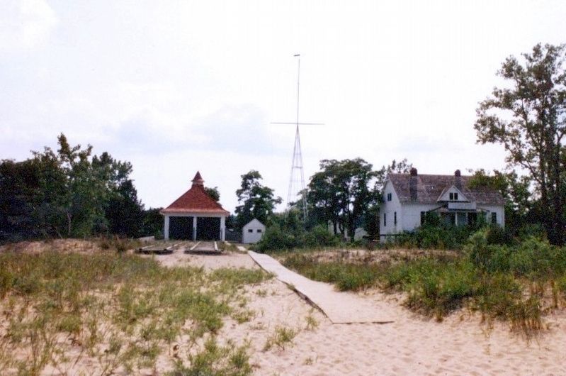
Sleeping Bear Point Life Saving Station. image. Click for full size.
Photographed By Don Morfe, June 27, 1995
2. Sleeping Bear Point Life Saving Station.
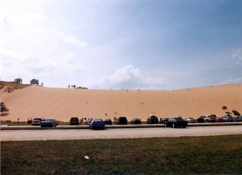
Sleeping Bear Dunes-from a parking lot image. Click for full size.
Photographed By Don Morfe, June 27, 1995
3. Sleeping Bear Dunes-from a parking lot
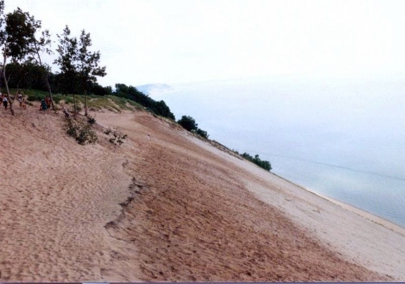
Sleeping Bear Dunes on Lake Michigan image. Click for full size.
Photographed By Don Morfe, June 27, 1995
4. Sleeping Bear Dunes on Lake Michigan
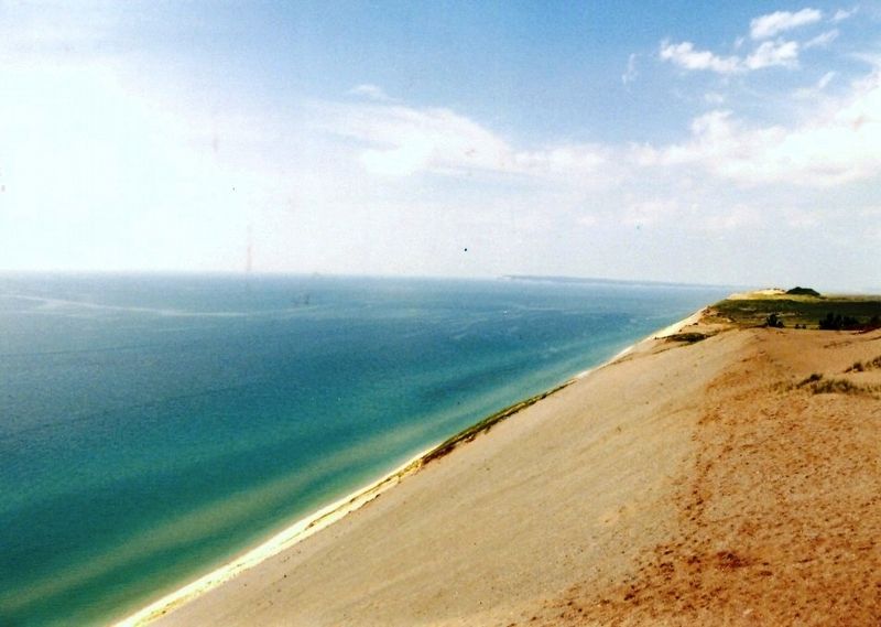
Sleeping Bear Dunes on Lake Michigan image. Click for full size.
Photographed By Don Morfe, June 27, 1995
5. Sleeping Bear Dunes on Lake Michigan
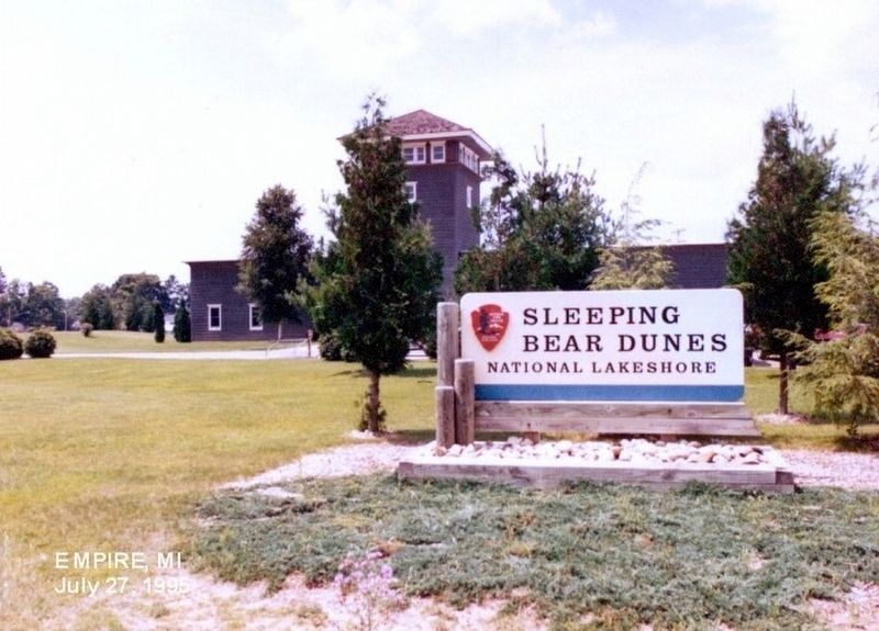
Sign at the entrance to Sleeping Bear Dunes National Lakeshore image. Click for full size.
Photographed By Don Morfe, June 27, 1995
6. Sign at the entrance to Sleeping Bear Dunes National Lakeshore
 
 
Credits. This page was last revised on June 12, 2020. It was originally submitted on December 26, 2016, by Don Morfe of Baltimore, Maryland. This page has been viewed 308 times since then and 15 times this year. Photos:   1, 2, 3, 4, 5, 6. submitted on December 26, 2016, by Don Morfe of Baltimore, Maryland. • Bill Pfingsten was the editor who published this page.
Share this page.  
Share on Tumblr
m=100648

CeraNet Cloud Computing sponsors the Historical Marker Database.
This website earns income from purchases you make after using our links to Amazon.com. We appreciate your support.
Paid Advertisement
Apr. 18, 2024