Myrtle Beach in Horry County, South Carolina — The American South (South Atlantic)
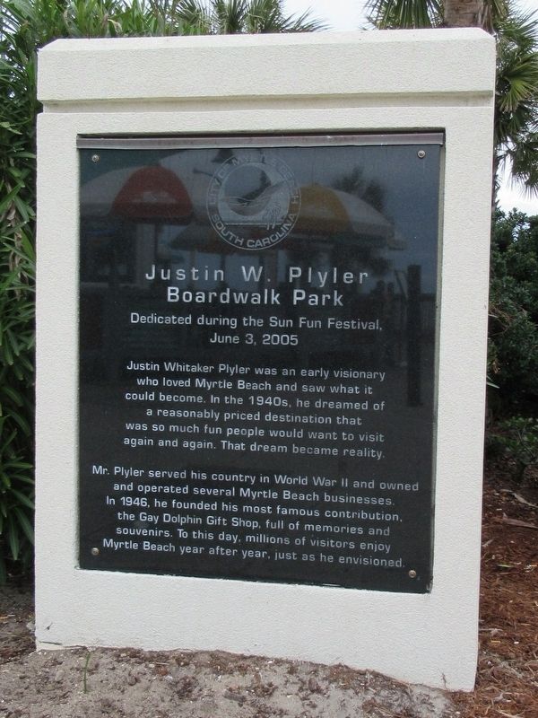
Justin W. Plyler Boardwalk Park
Boardwalk Park
Dedicated during the Sun Fun Festival,
June 3, 2005
Mr. Plyler served his country in World War II and owned and operated several Myrtle Beach businesses. In 1946, he founded his most famous contribution, the Gay Dolphin Gift Shop, full of memories and souvenirs. To this day, millions of visitors enjoy Myrtle Beach year after year, just as he envisioned.
Erected 2005.
Topics. This historical marker is listed in this topic list: Industry & Commerce.
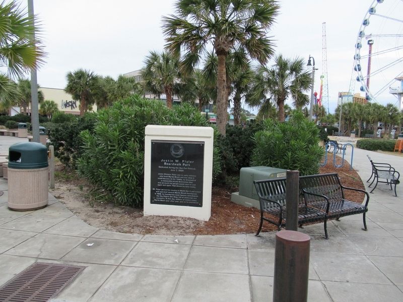
Location. 33° 41.618′ N, 78° 52.669′ W. Marker is in Myrtle Beach, South Carolina, in Horry County. Marker can be reached from the intersection of North Ocean Boulevard and 10th Ave. N., on the right when traveling north. Located in Plyler Park. Touch for map. Marker is in this post office area: Myrtle Beach SC 29577, United States of America. Touch for directions.
Other nearby markers. At least 8 other markers are within walking distance of this marker. Site Of The Seaside Hotel (within shouting distance of this marker); Grand Strand (within shouting distance of this marker); Hurricane Hugo (about 300 feet away, measured in a direct line); Hurricane Hazel (about 400 feet away); Salt Works (about 600 feet away); Marine Amphibious Assault (about 600 feet away); a different marker also named Hurricane Hazel (about 700 feet away); The King’s Highway (about 700 feet away). Touch for a list and map of all markers in Myrtle Beach.
Also see . . .
1. Myrtle Beach Boardwalk. (Submitted on January 4, 2017, by Michael Herrick of Southbury, Connecticut.)
2. Gay Dolphin Gift Cove on Wikipedia. (Submitted on January 4, 2017, by Michael Herrick of Southbury, Connecticut.)
Credits. This page was last revised on January 4, 2017. It was originally submitted on January 4, 2017, by Michael Herrick of Southbury, Connecticut. This page has been viewed 641 times since then and 17 times this year. Photos: 1, 2. submitted on January 4, 2017, by Michael Herrick of Southbury, Connecticut.

