Great Falls near Potomac in Montgomery County, Maryland — The American Northeast (Mid-Atlantic)
A Lift Lock
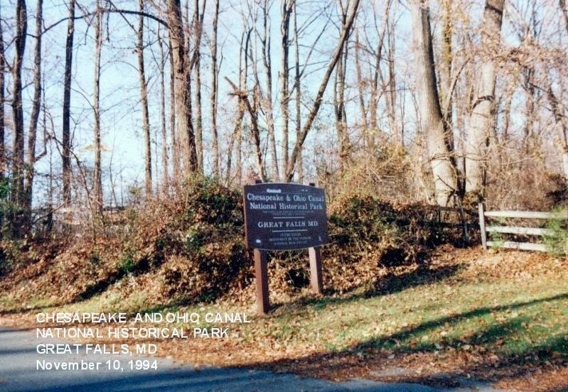
Chesapeake and Ohio Canal National Historical Park
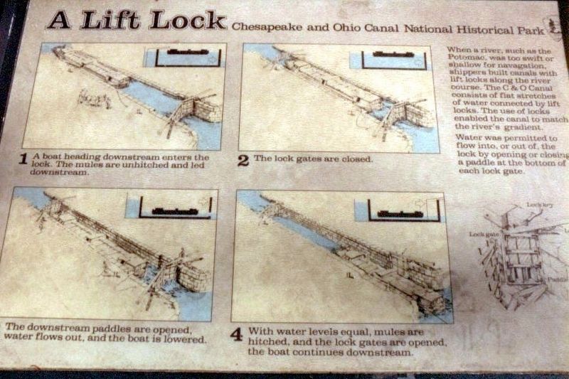
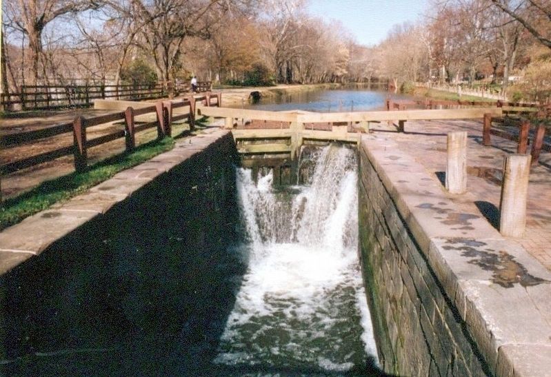
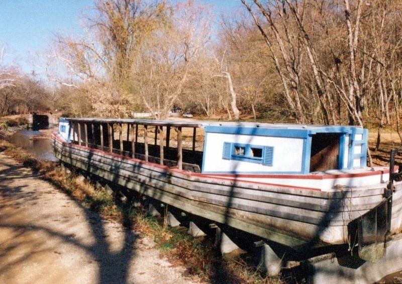
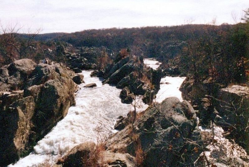
When a river, such as the Potomac, was too swift or shallow for navigation, shippers built canals with lift locks along the river course. The C & O Canal consists of flat stretches of water connected by lift locks. The use of locks enabled the canal to match the river’s gradient.
Water was permitted to flow into, or out of, the lock by opening or closing a paddle at the bottom of each lock gate.
(Inscriptions on the left)
1. A boat heading downstream enters the lock. The mules are unhitched and let downstream.
2. The lock gates are closed.
3. The downstream paddles are opened, water flows out, and the boat is lowered.
4. With water levels equal, mules are hitched, and the lock gates are opened, the boat continues downstream.
Erected by National Park Service, U.S. Department of the Interior.
Topics and series. This historical marker is listed in this topic list: Waterways & Vessels. In addition, it is included in the Chesapeake and Ohio (C&O) Canal series list.
Location. Marker has been reported missing. It was located near 39° 0.013′ N, 77° 14.905′ W. Marker was near Potomac, Maryland, in Montgomery County. It was in Great Falls. Marker was on Macarthur Boulevard. The marker is near the Great Falls Tavern Visitor Center. Touch for map. Marker was at or near this postal address: 11710 Macarthur Blvd, Potomac MD 20854, United States of America. Touch for directions.
Other nearby markers. At least 8 other markers are within walking distance of this location. Great Falls Tavern (a few steps from this marker); a different marker also named Great Falls Tavern (a few steps from this marker); Washington Aqueduct (within shouting distance of this marker); Welcome to Great Falls (about 300 feet away, measured in a direct line); Creating a National Park (about 400 feet away); A Geologic Barrier (about 700 feet away); Fighting Floods (about 700 feet away); Olmsted Island (approx. 0.3 miles away). Touch for a list and map of all markers in Potomac.
Credits. This page was last revised on February 21, 2023. It was originally submitted on January 7, 2017, by Don Morfe of Baltimore, Maryland. This page has been viewed 488 times since then and 29 times this year. Last updated on March 22, 2022, by Connor Olson of Kewaskum, Wisconsin. Photos: 1, 2, 3, 4, 5, 6. submitted on January 7, 2017, by Don Morfe of Baltimore, Maryland. • J. Makali Bruton was the editor who published this page.
