Near Taylorstown in Loudoun County, Virginia — The American South (Mid-Atlantic)
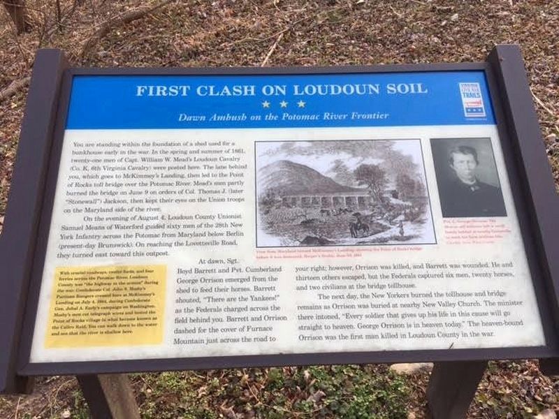
First Clash On Loudoun Soil
Dawn Ambush on the Potomac River Frontier
On the evening of August 4, Loudoun County Unionist Samuel Means of Waterford guided sixty men of the 28th New York Infantry across the Potomac from Maryland below Berlin (present-day Brunswick). On reaching the Lovettsville Road, they turned east toward this outpost.
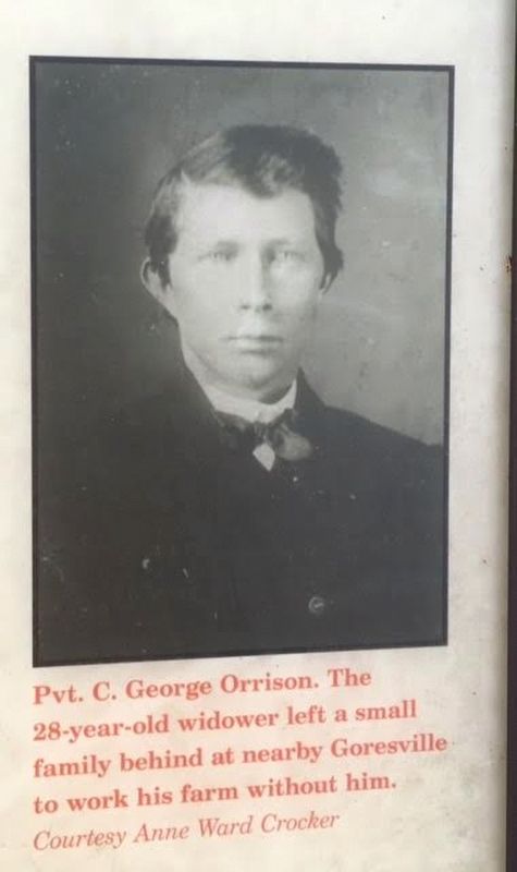
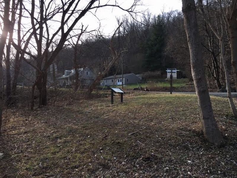
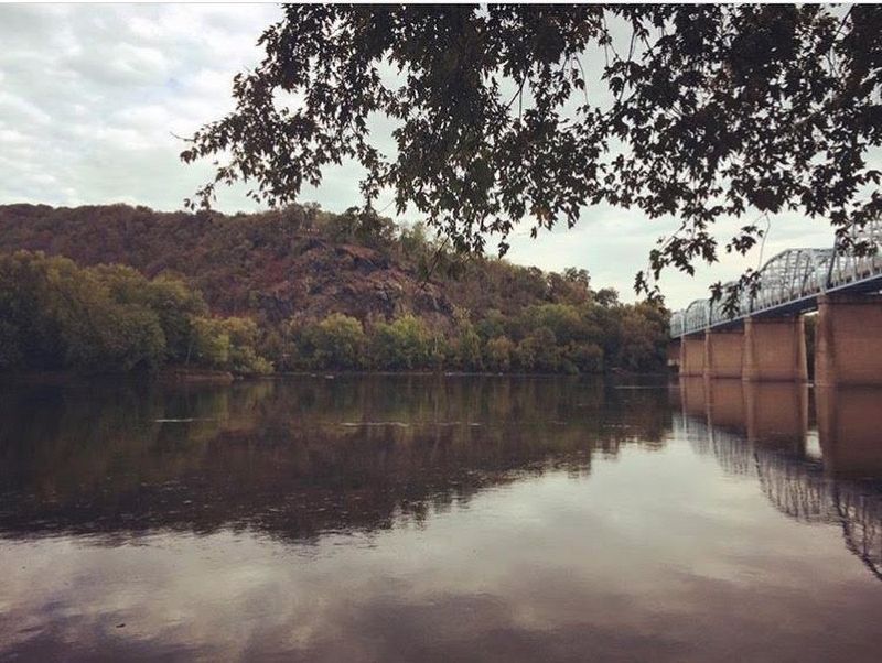
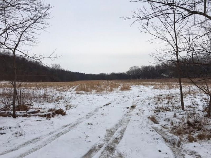
At dawn, Sgt. Boyd Barrett and Pvt. Cumberland George Orrison emerged from the shed to feed their horses. Barrett shouted, "There are the Yankees!" as the Federals charged across the field behind you. Barrett and Orrison dashed for the cover of Furnace Mountain just across the road to your right; however, Orrison was killed, and Barrett was wounded. He and thirteen others escaped, but the Federals captured six men, twenty horses, and two civilians at the bridge tollhouse.
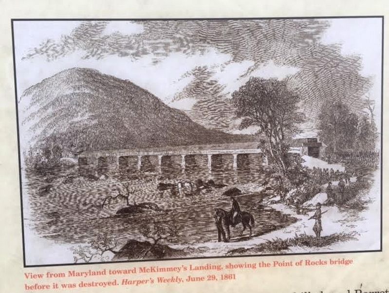
The next day, the New Yorkers burned the tollhouse and bridge remains as Orrison was buried at nearby New Valley Church. The minister there intoned, "Every soldier that gives his life in this cause will go straight to heaven. George Orrison is in heaven today." The heaven-bound Orrison was the first man killed in Loudoun County in the war.
(Sidebar)
With crucial roadways, twelve fords, and four ferries across the Potomac River, Loudoun County was "the highway of the armies" during the war. Confederate Col. John S. Mosby's Partisan Rangers crossed here at McKimmey's Landing on July 4, 1864, during Confederate Gen. Jubal A. Early's campaign on Washington. Mosby's men cut telegraph wires and looted the Point of Rocks village in what became known as the Calico Raid. You can walk down to the water and see that the river is shallow here.
Erected by Virginia Civil War Trails.
Topics and series. This historical marker is listed in these topic lists: Bridges & Viaducts • Patriots & Patriotism • War, US Civil. In addition, it is included in the Virginia Civil War Trails series list. A significant historical date for this entry is August 4, 1861.
Location. 39° 16.277′ N, 77° 32.936′ W. Marker is near Taylorstown, Virginia, in Loudoun County. Marker is on Lovettsville Road (County Road 672) west of James Monroe Highway (U.S.
15), on the right when traveling west. The marker is a few feet off the road towards the lane leading to McKimmey's Landing. Touch for map. Marker is in this post office area: Lovettsville VA 20180, United States of America. Touch for directions.
Other nearby markers. At least 8 other markers are within walking distance of this marker. Loudoun County / Maryland (about 300 feet away, measured in a direct line); Battle at Point of Rocks (approx. 0.3 miles away in Maryland); Point of Rocks (approx. half a mile away in Maryland); a different marker also named Point of Rocks (approx. half a mile away in Maryland); a different marker also named Point of Rocks (approx. half a mile away in Maryland); a different marker also named Point of Rocks (approx. half a mile away in Maryland); a different marker also named Point of Rocks (approx. half a mile away in Maryland); a different marker also named Point of Rocks (approx. 0.6 miles away in Maryland).
Also see . . . The Brothers' War: Mosby and the Unionists. Stops 10, 11, 14, and 15 provide more information about McKimmey's Landing and Captain Samuel Means (Submitted on January 8, 2017, by Brandon Stahl of Fairfax, Virginia.)
Credits. This page was last revised on May 23, 2023. It was originally submitted on January 8, 2017, by Brandon Stahl of Fairfax, Virginia. This page has been viewed 613 times since then and 36 times this year. Last updated on May 21, 2023, by Bradley Owen of Morgantown, West Virginia. Photos: 1, 2, 3, 4, 5, 6. submitted on January 8, 2017, by Brandon Stahl of Fairfax, Virginia. • J. Makali Bruton was the editor who published this page.
