Near Bowie in Cochise County, Arizona — The American Mountains (Southwest)
Mining Cabin
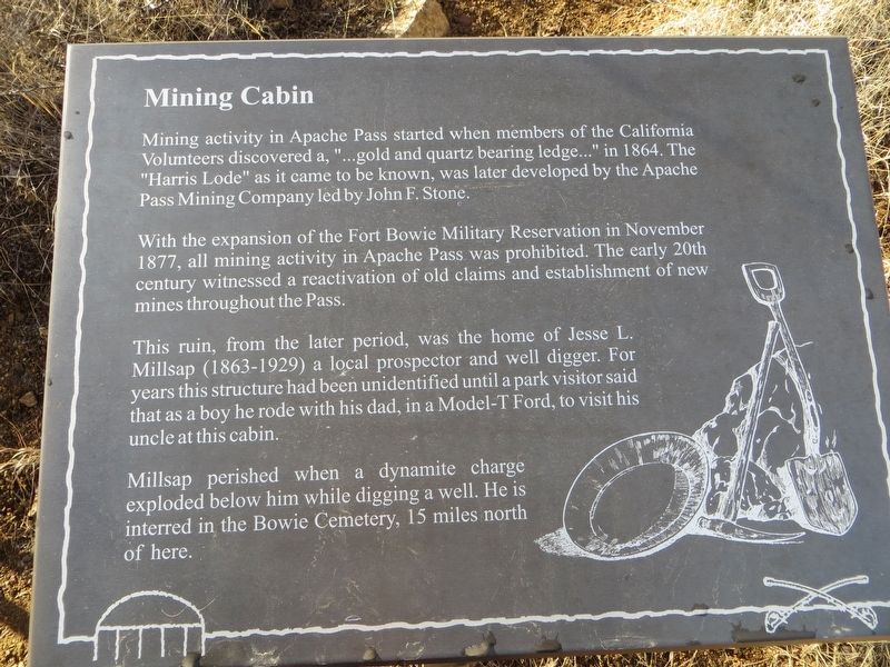
With the expansion of the Fort Bowie Military Reservation in November 1877, all mining activity in Apache Pass was prohibited. The early 20th century witnessed a reactivation of old claims and establishment of new mines throughout the Pass.
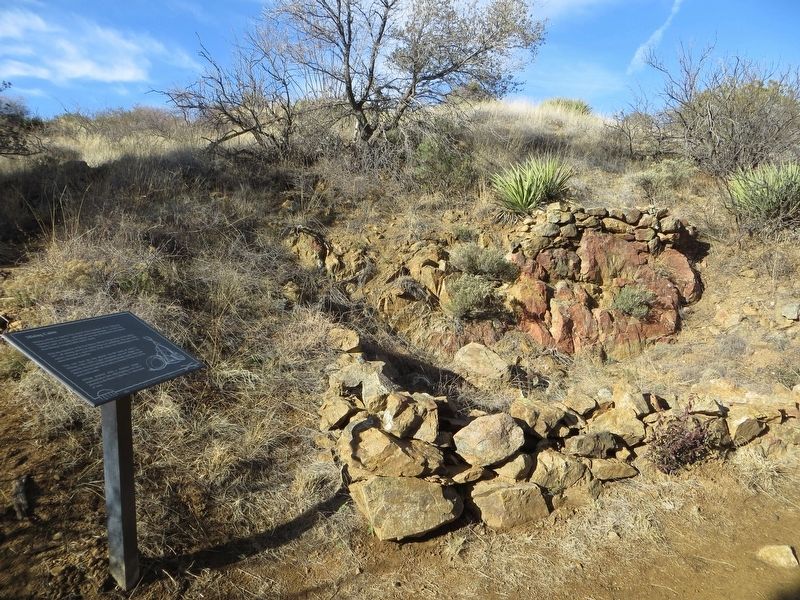
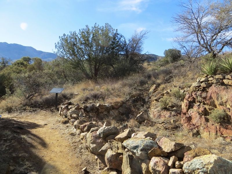
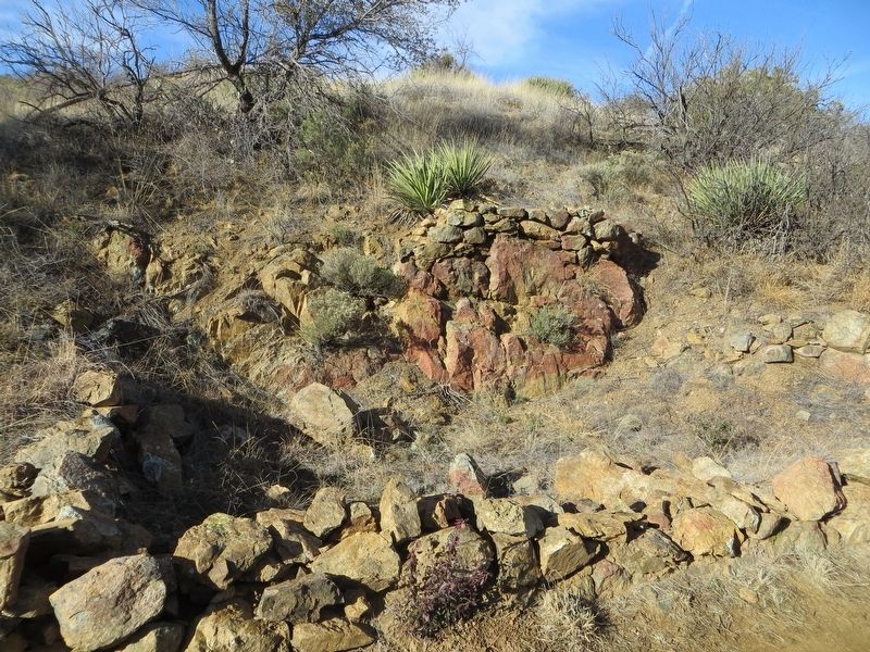
This ruin, from the later period, was the home of Jesse L. Millsap (1863-1929) a local prospector and well digger. For years this structure had been unidentified until a park visitor said that as a boy he rode with his dad, in a Model-T Ford, to visit his uncle at this cabin.
Millsap perished when a dynamite charge exploded below him while digging a well. He is interred in the Bowie Cemetery, 15 miles north of here.
Topics. This historical marker is listed in this topic list: Forts and Castles. A significant historical month for this entry is November 1877.
Location. 32° 9.336′ N, 109° 27.147′ W. Marker is near Bowie, Arizona, in Cochise County. Marker can be reached from Fort Bowie Trail, 0.1 miles south of Apache Pass Road. Marker is located along the trail at the Fort Bowie National Historic Site. From Bowie, AZ. drive south from the intersection of Business Interstate 10 and Apache Pass Road to the trail head (approximately 13 miles) to the Fort Bowie Trail head. For most visitors access to the fort is via a 1.5 mile hiking trail of moderate difficulty. If you are unable to hike the 3.0 mile round trip trail, check the park website for alternate access directions. Touch for map. Marker is in this post office area: Bowie AZ 85605, United States of America. Touch for directions.
Other nearby markers. At least 8 other markers are within walking distance of this marker. Apache Pass - A Corridor Through Time (about 400 feet away, measured in a direct line); Parke Camp Site (approx. 0.3 miles away); The Bascom Affair (approx. 0.4 miles away); Bascom-Cochise Meeting Site (approx. half a mile away); The Stage Station Ruin (approx. half a mile away); The Butterfield Overland Mail (approx. half a mile away); Post Cemetery (approx. 0.7 miles away); The Chiricahua Apache Indian Agency (approx. 0.7 miles away). Touch for a list and map of all markers in Bowie.
Credits. This page was last revised on January 15, 2017. It was originally submitted on January 13, 2017, by Bill Kirchner of Tucson, Arizona. This page has been viewed 754 times since then and 29 times this year. Photos: 1, 2, 3, 4. submitted on January 13, 2017, by Bill Kirchner of Tucson, Arizona.


