Near Bowie in Cochise County, Arizona — The American Mountains (Southwest)
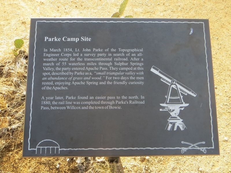
Parke Camp Site
A year later, Parke found an easier pass to the north. In 1880, the rail line was completed through Parke's Railroad Pass, between Wilcox and the town of Bowie.
Topics. This historical marker is listed in these topic lists: Exploration • Railroads & Streetcars. A significant historical month for this entry is March 1854.
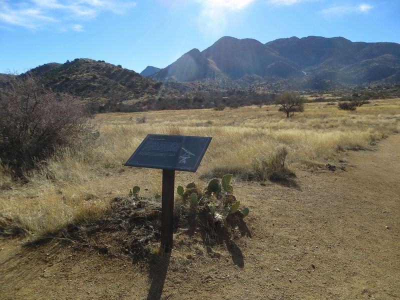
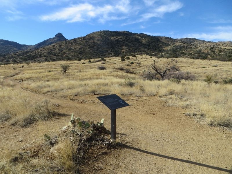
Location. 32° 9.066′ N, 109° 26.989′ W. Marker is near Bowie, Arizona, in Cochise County. Marker can be reached from Fort Bowie Trail, 0.4 miles south of Apache Pass Road. Marker is located along the trail at the Fort Bowie National Historic Site. For most visitors access to the fort is via a 1.5 mile hiking trail of moderate difficulty. Touch for map. Marker is in this post office area: Bowie AZ 85605, United States of America. Touch for directions.
Other nearby markers. At least 8 other markers are within walking distance of this marker. The Bascom Affair (about 400 feet away, measured in a direct line); Bascom-Cochise Meeting Site (approx. 0.2 miles away); The Stage Station Ruin (approx. 0.2 miles away); The Butterfield Overland Mail (approx. 0.2 miles away); Post Cemetery (approx. 0.3 miles away); Mining Cabin (approx. 0.3 miles away); The Chiricahua Apache Indian Agency (approx. 0.4 miles away); Apache Pass - A Corridor Through Time (approx. 0.4 miles away). Touch for a list and map of all markers in Bowie.
Credits. This page was last revised on January 15, 2017. It was originally submitted on January 13, 2017, by Bill Kirchner of Tucson, Arizona. This page has been viewed 559 times since then and 31 times this year. Photos: 1, 2, 3. submitted on January 13, 2017, by Bill Kirchner of Tucson, Arizona.


