Buena Vista in Southeast Washington in Washington, District of Columbia — The American Northeast (Mid-Atlantic)
A Museum for the Community
An East-of-the-River View
— Anacostia Heritage Trail —
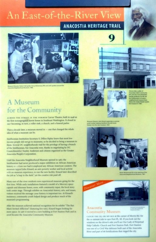
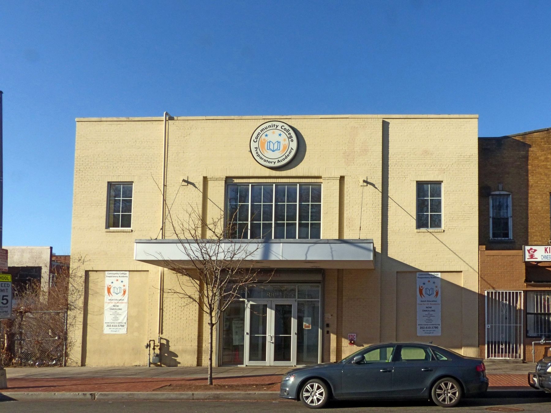
Across the street is the former Carver Theatre, built in 1948 as the first nonsegregated movie house in Southeast Washington. It closed in 1957 becoming, in turn, a roller rink, a church, and a funeral parlor.
Then a decade later, a museum moved in — one that changed the whole idea of what a museum can be.
Smithsonian Institution Secretary S. Dillon Ripley knew that most low income people did not go to museums, so he decided to bring a museum to them. Several DC neighborhoods vied for the privilege of having a branch of the Smithsonian, but Anacostia won, thanks to negotiating by DC Councilmember Stanley Anderson and citizens organized as the Greater Anacostia People's Corporation.
Until the Anacostia Neighborhood Museum opened in 1967, the Smithsonian had never produced a major exhibition on African American history or culture nor had it employed any African American curators. The museum tapped John Kinard, an anti-poverty worker and local activist with no museum experience, to run the new facility. Kinard later described the job as "a leap in the dark;' yet the creative risk paid off.
Many east-of-the-river residents now experienced museum-going for the first time. While early installations featured a model of a Mercury space capsule and dinosaur bones, soon, with community input, the local story took center stage. Through exhibits on Anacostia's history, arts, and issues, visitors received the message: your history is important too. At Kinard's insistence, community youth helped design and produce much of the museums programming.
After the museum achieved national recognition for its exhibit “The Rat: Man's Invited Affliction” (featuring live rats), Kinard began looking for more space. In 1987 it moved to a new building at Fort Stanton Park and in 2006 became the Anacostia Community Museum.
Discover More…
Anacostia Community Museum
Catch the W3 or W6 bus at the corner of Morris Rd. for the 10-minute ride to 1901 Fort Pl., SE. If you look out the windows on the driver's side you'll see Our Lady of Perpetual Help Catholic Church and Fort Stanton Park. Fort Stanton was one of 12 Civil War defenses built east of the Anacostia River and part of 68 fortifications that ringed the city.
Erected 2013 by Cultural Tourism DC. (Marker Number 9.)
Topics and series. This historical marker is listed in these topic lists: African Americans • Animals • Arts, Letters, Music • Entertainment • Forts and Castles • Settlements & Settlers • War, US Civil. In addition, it is included in the Anacostia Heritage Trail, and the Defenses of Washington series lists. A significant historical year for this entry is 1948.
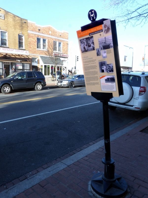
Location. 38° 51.755′ N, 76° 59.547′ W. Marker is in Southeast Washington in Washington, District of Columbia. It is in Buena Vista. Marker is on Martin Luther King Jr. Avenue Southeast south of Talbert Street Southeast when traveling north. Touch for map. Marker is at or near this postal address: 2405 Martin Luther King Jr Avenue Southeast, Washington DC 20020, United States of America. Touch for directions.
Other nearby markers. At least 8 other markers are within walking distance of this marker. Nichols Avenue Elementary School / Old Birney School Site (about 300 feet away, measured in a direct line); Birney School (about 300 feet away); Bethlehem Baptist Church (about 500 feet away); Crossing Lines (about 600 feet away); A Navy Town (about 600 feet away); Faith and Action (about 700 feet away); Roads That Divide (approx. 0.2 miles away); Transit and Trade (approx. ¼ mile away). Touch for a list and map of all markers in Southeast Washington.
Credits. This page was last revised on January 30, 2023. It was originally submitted on January 14, 2017, by Allen C. Browne of Silver Spring, Maryland. This page has been viewed 421 times since then and 38 times this year. Photos: 1, 2, 3. submitted on January 14, 2017, by Allen C. Browne of Silver Spring, Maryland. 4. submitted on January 17, 2017, by Allen C. Browne of Silver Spring, Maryland. • Bill Pfingsten was the editor who published this page.
Editor’s want-list for this marker. A photo of the reverse side of the marker. • Can you help?


