Native American Settlement
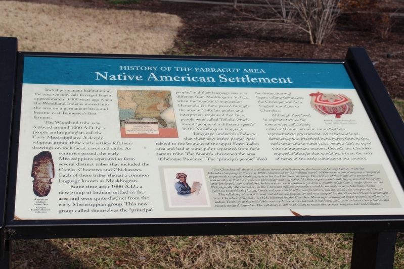
The Woodland tribe was replaced around 1000 A.D. by a people anthropologists call the Early Mississippians. A deeply religious group, these early settlers left their drawings on rock faces, caves, and cliffs. As centuries passed, the early Mississippians separated to form several distinct tribes that included the Creeks, Choctaws and Chickasaws. Each of these tribes shared a common language known as Muskhogean.
Some time after 1000 A.D., a new group of Indians settled in the area and were quite distinct from the early Mississippian group. This new group called themselves the "principal people," and their language was very different from Muskhogean. In fact, when the Spanish Conquistador Hernando De Soto passed through the area in 1540, his guides and interpreters explained that these people were called Teiloki, which meant "people of a different speech" in the Muskhogean language.
Language similarities indicate that these new native people were related to the Iroquois of the upper Great Lakes area and had at some point separated from their parent tribe. The Spanish christened the area "Cheloque Province." The "principal
people" liked the distinction and began calling themselves the Cheloque which in English translates to Cherokee.Although they lived in separate towns, the towns were collectively called a Nation and were controlled by a representative government. At each local level, democracy was perceived in its purest form in that each man, and in some cases women, had an equal vote on important matters. Overall, the Cherokee enjoyed a lifestyle that would have been the envy of many of the early colonist of our country.
The Cherokee syllabary is a syllabary invented by Sequoyah, also known as George Gist, to write the Cherokee language in the early 1800s. Impressed by the "talking leaves" of European written language, Sequoyah began work to create a writing system for the Cherokee language. His creation of the syllabary is particularly noteworthy in that he could not previously read any script. He first experimented with logograms, but his system later developed into a syllabary. In his system, each symbol represents a syllable rather than a single phoneme; the 85 (originally 86) characters in the Cherokee syllabary provide a suitable method to write Cherokee. Some symbols resemble the Latin, Greek and even the Cyrillic scripts' letters, but the sounds are completely different.
The syllabary achieved almost instantaneous popularity and was adopted by the Cherokee Phoenix newspaper,
later Cherokee Advocate, in 1828, followed by the Cherokee Messenger, a bilingual paper printed in syllabary in Indian territory in the mid-19th century. Since it was formed, it has been used to write letters, keep diaries and record medical formulas. The syllabary is still used today to transcribe recipes, religious lore and folktales.Erected by Farragut Museum.
Topics and series. This historical marker is listed in these topic lists: Anthropology & Archaeology • Native Americans. In addition, it is included in the Tennessee - History of the Farragut Area series list.
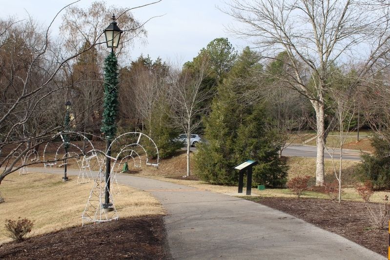
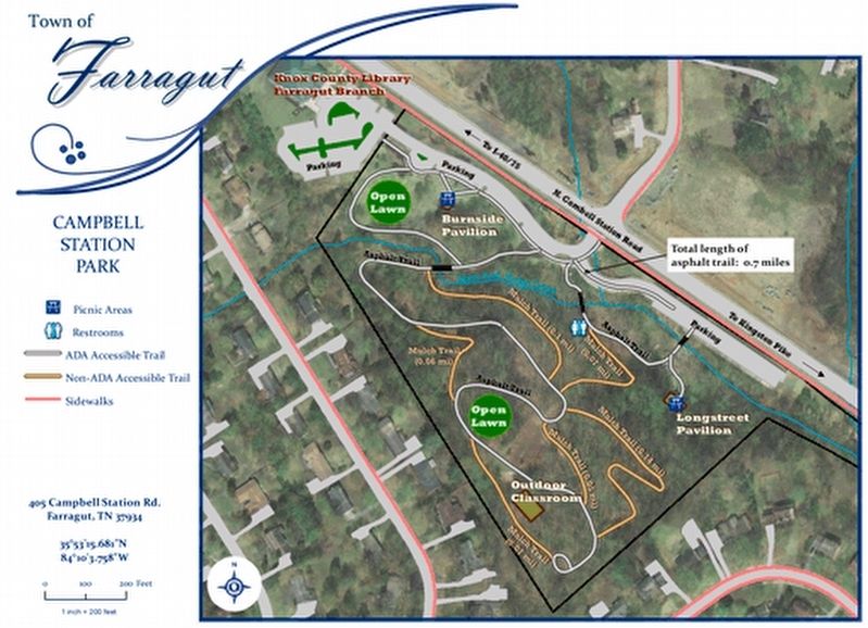
Location. 35° 53.317′ N, 84° 10.133′ W. Marker is in Farragut, Tennessee, in Knox County. Marker can be reached from Campbell Station Road. Marker is located on the walking trail in Campbell Station Park. Touch for map. Marker is at or near this postal address: 405 Campbell Station Road, Knoxville TN 37934, United States of America. Touch for directions.
Other nearby markers. At least 8 other markers are within walking distance of this marker. Pleasant Forest Church & Cemetery (within shouting distance of this marker); The Campbell Station Inn (within shouting distance of this marker); Admiral David Glasgow Farragut (about 300 feet away, measured in a direct line); The Historic Village of Concord (about 400 feet away); a different marker also named The Historic Village of Concord (about 500 feet away); The Battle of Campbell Station (about 600 feet away); Farragut Schools: Early Years (approx. 0.2 miles away); Farragut Schools: Recent Years (approx. 0.2 miles away). Touch for a list and map of all markers in Farragut.
Credits. This page was last revised on January 16, 2017. It was originally submitted on January 14, 2017, by Tom Bosse of Jefferson City, Tennessee. This page has been viewed 476 times since then and 34 times this year. Photos: 1, 2, 3. submitted on January 14, 2017, by Tom Bosse of Jefferson City, Tennessee. • Bill Pfingsten was the editor who published this page.


