Near Bowie in Cochise County, Arizona — The American Mountains (Southwest)
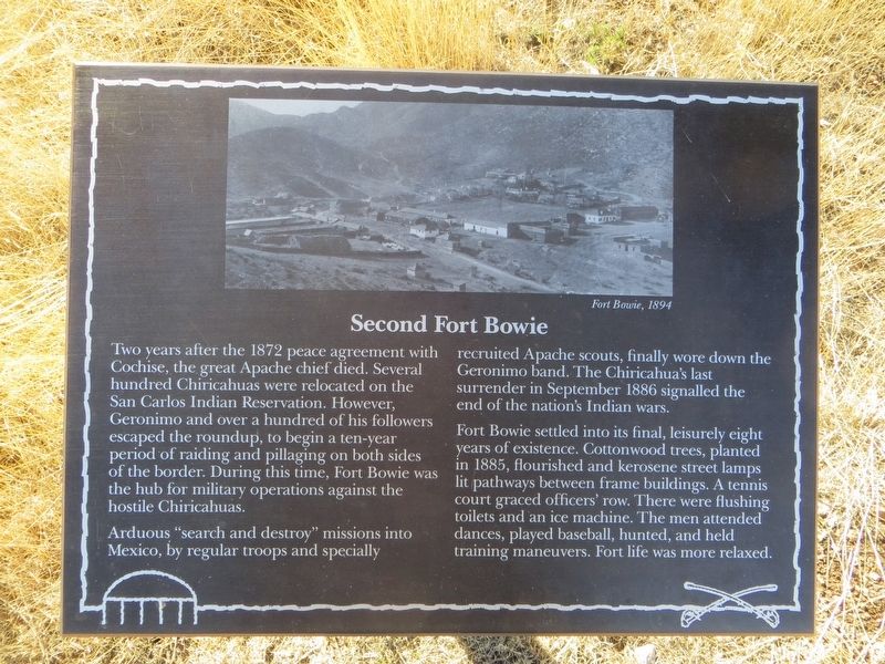
Second Fort Bowie
Arduous “search and destroy” missions into Mexico, by regular troops and specially recruited Apache scouts, finally wore down the Geronimo band. The Chiricahua's last surrender in September 1886 signalled the end of the nation's Indian wars.
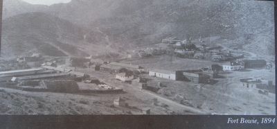
Fort Bowie settled into its final, leisurely eight years of existence. Cottonwood trees, planted in 1885, flourished and kerosene street lamps lit pathways between frame buildings. A tennis court graced officer's row. The men attended dances, played baseball, hunted, and held training maneuvers. Fort life was more relaxed.
Topics. This historical marker is listed in these topic lists: Forts and Castles • Wars, US Indian. A significant historical month for this entry is September 1886.
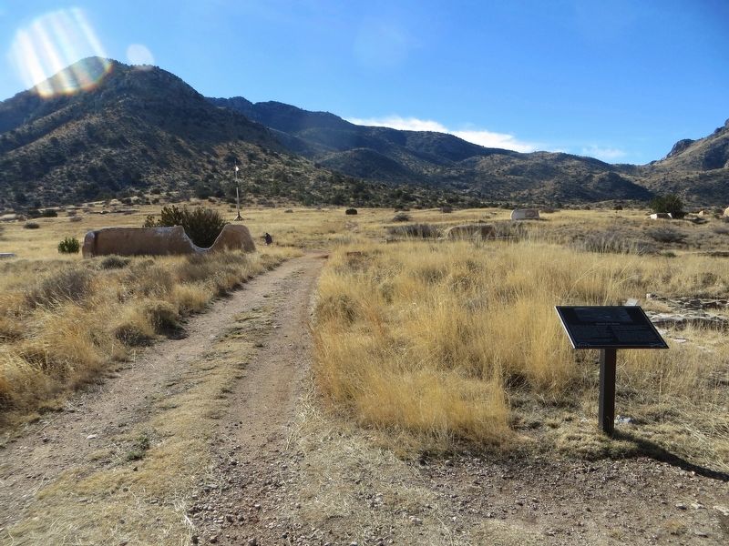
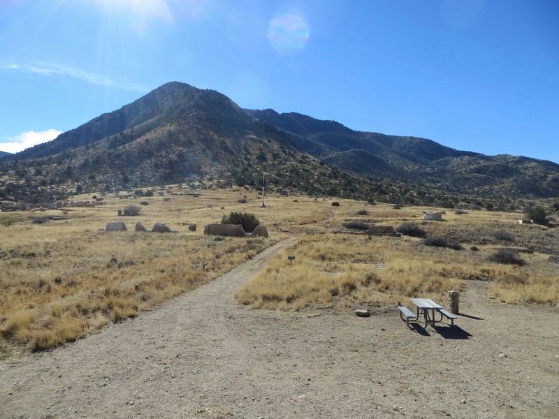
Location. 32° 8.735′ N, 109° 26.181′ W. Marker is near Bowie, Arizona, in Cochise County. Marker can be reached from Fort Bowie Trail, 1½ miles south of Apache Pass Road. Marker is located along the trail at the Fort Bowie National Historic Site. For most visitors access to the fort is via a 1.5 mile hiking trail of moderate difficulty. Touch for map. Marker is in this post office area: Bowie AZ 85605, United States of America. Touch for directions.
Other nearby markers. At least 8 other markers are within walking distance of this marker. Quartermaster Storehouse (within shouting distance of this marker); Cavalry Mess Hall and Kitchen (about 400 feet away, measured in a direct line); Post Trader (about 500 feet away); Cavalry Barracks (about 600 feet away); Infantry Barracks (about 600 feet away); Commanding Officer's Quarters (approx. 0.2 miles away); First Fort Bowie (approx. 0.2 miles away); Apache Spring (approx. ¼ mile away). Touch for a list and map of all markers in Bowie.
Credits. This page was last revised on January 19, 2017. It was originally submitted on January 19, 2017, by Bill Kirchner of Tucson, Arizona. This page has been viewed 674 times since then and 34 times this year. Photos: 1, 2, 3, 4. submitted on January 19, 2017, by Bill Kirchner of Tucson, Arizona.


