Aptos in Santa Cruz County, California — The American West (Pacific Coastal)
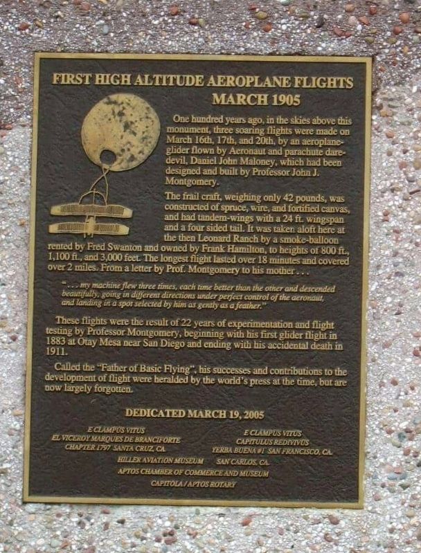
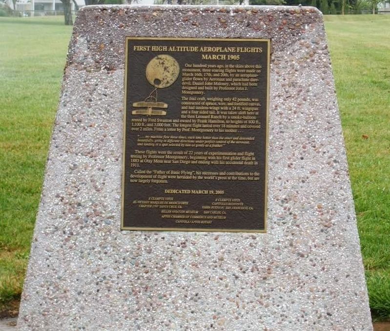
First High Altitude Airplane Flights March 1905
The frail craft, weighing only 42 pounds, was constructed of spruce, wire, and fortified canvas, and had tandem-wings with a 24 ft. wingspan and a four sided tail. It was taken aloft here at the then Leonard Ranch by a smoke-balloon rented by Fred Swanton and owned by Frank Hamilton, to heights of 800 ft., 1,100 ft., and 3,000 feet. The longest flight lasted over 18 minutes and covered over 2 miles...From a letter by Prof. Montgomery to his mother...
These flights were the result of 22 years of experimentations and flight testing by Professor Montgomery, beginning with his first glider flight in 1883 at Otay Mesa in San Diego and ending with his accidental death in 1911. Called the "Father of Basic Flying", his successes and contributions to the development of flight were heralded by the world's press at the time, but are now largely forgotten.
Erected by E Clampus Vitus El Viceroy Marques de Branciforte Chapter 1797, E Clampus Vitus Capitulus Redivivus Yerba Buena #1, Hiller Aviation Museum San Carlos Ca,. Aptos Chamber of Commerce and Museum Capitola/Aptos Rotary.
Topics and series. This historical marker is listed in this topic list: Air & Space. In addition, it is included in the E Clampus Vitus series list. A significant historical date for this entry is March 16, 1883.
Location. 36° 56.84′ N, 121° 52.034′ W. Marker is in Aptos, California, in Santa Cruz County. Marker is on Dolphin Drive south of Via Nevella, on the left when traveling south. Touch for map. Marker is in this post office area: Aptos CA 95003, United States of America. Touch for directions.
Other nearby markers. At least 8 other markers are within 5 miles of this marker, measured as the crow flies. Hotel Bayview (approx. 2.8 miles away); Aptos Grocery & Post Office (approx. 2.8 miles away); Seacliff SS Palo Alto 100 years (approx. 3.1 miles away); S.S. Palo Alto (approx. 3.1 miles away); Donald Leon Rose (approx. 4.4 miles away); China Beach (approx. 4˝ miles away); Capitola’s Natural Riches (approx. 4.9 miles away); First Capitola City Hall (approx. 4.9 miles away). Touch for a list and map of all markers in Aptos.
Credits. This page was last revised on January 20, 2017. It was originally submitted on January 20, 2017, by Frank Gunshow Sanchez of Hollister, California. This page has been viewed 562 times since then and 17 times this year. Photos: 1, 2. submitted on January 20, 2017, by Frank Gunshow Sanchez of Hollister, California. • Syd Whittle was the editor who published this page.

