Marker Logo HMdb.org THE HISTORICAL
MARKER DATABASE
“Bite-Size Bits of Local, National, and Global History”
Appomattox in Appomattox County, Virginia — The American South (Mid-Atlantic)
 

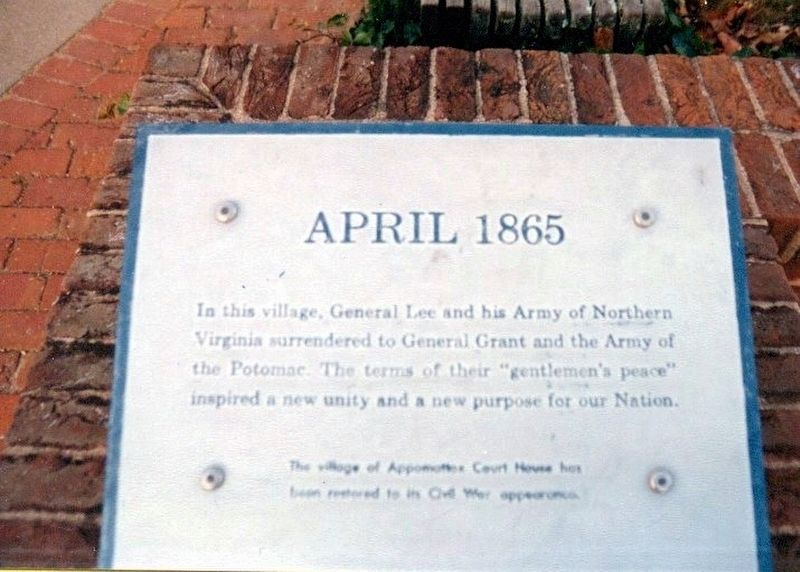
April 1865

Appomattox Court House National Historic Park


April 1865 Marker image. Click for full size.
Photographed By Don Morfe, November 8, 1994
1. April 1865 Marker
Inscription. In this village, General Lee and his Army of Northern Virginia surrendered to General Grant and the Army of the Potomac. The terms of their “gentlemen’s peace” inspired a new unity and a new purpose for our Nation.

The village of Appomattox Court House has been restored to its Civil War appearance.
 
Erected by National Park Service, U.S. Department of the Interior.
 
Topics and series. This memorial is listed in this topic list: War, US Civil. In addition, it is included in the Former U.S. Presidents: #18 Ulysses S. Grant series list.
 
Location. 37° 22.578′ N, 78° 47.784′ W. Marker is in Appomattox, Virginia, in Appomattox County. Memorial is on National Park Drive. The marker is located at the base of the flag pole which is near the parking lot. Touch for map. Marker is in this post office area: Appomattox VA 24522, United States of America. Touch for directions.
 
Other nearby markers. At least 8 other markers are within walking distance of this marker. Appomattox Court House (here, next to this marker); The Isbell House (within shouting distance of this marker); Anticipating Freedom (within shouting distance of this marker); McLean House (about 500 feet away, measured in a direct line); County Jail (about 500 feet away); Clover Hill Tavern

Paid Advertisement
Click on the ad for more information.
Please report objectionable advertising to the Editor.
Click or scan to see
this page online
(about 600 feet away); Lafayette W. Meeks (about 800 feet away); Tibbs Lane (approx. 0.2 miles away). Touch for a list and map of all markers in Appomattox.
 
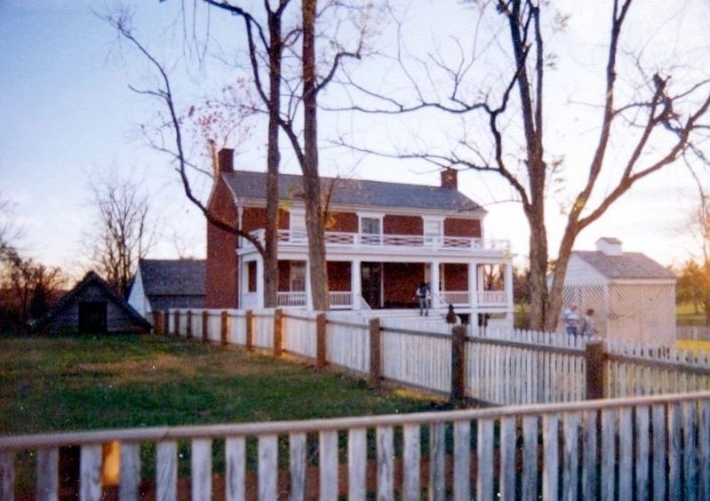
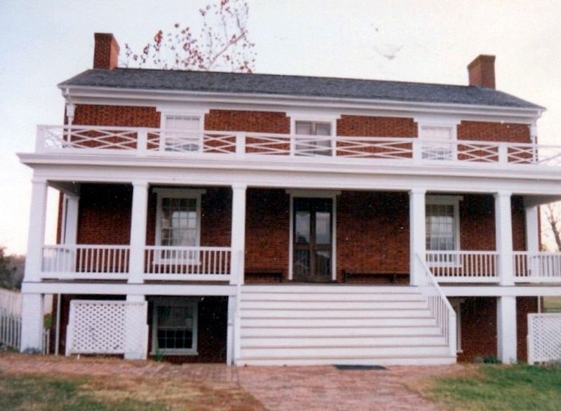
McLean House image. Click for full size.
Photographed By Don Morfe, November 8, 1994
2. McLean House
McLean House-distant shot image. Click for full size.
Photographed By Don Morfe, November 8, 1994
3. McLean House-distant shot
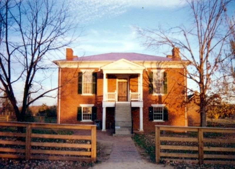
Court House and Visitor Center image. Click for full size.
Photographed By Don Morfe, November 8, 1994
4. Court House and Visitor Center
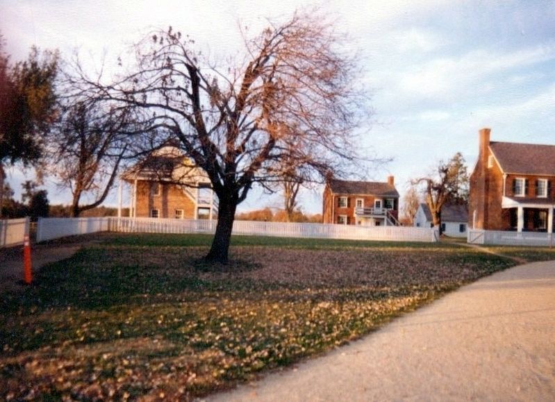
Varous buildings in the area image. Click for full size.
Photographed By Don Morfe, November 8, 1994
5. Varous buildings in the area
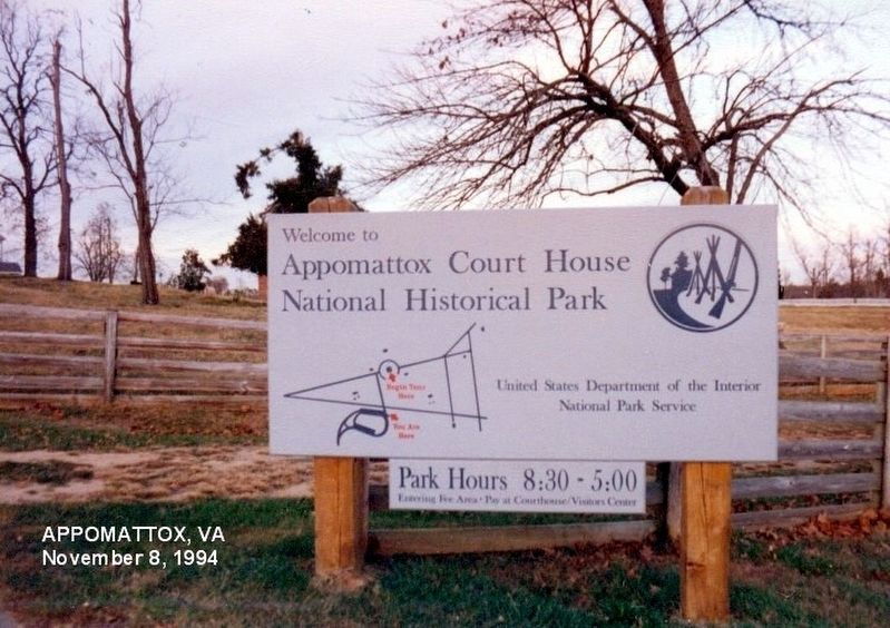
Sign at the entrance to the Historical Park image. Click for full size.
Photographed By Don Morfe, November 8, 1994
6. Sign at the entrance to the Historical Park
 
 
Credits. This page was last revised on June 12, 2020. It was originally submitted on January 23, 2017, by Don Morfe of Baltimore, Maryland. This page has been viewed 492 times since then and 8 times this year. Photos:   1, 2, 3, 4, 5, 6. submitted on January 23, 2017, by Don Morfe of Baltimore, Maryland. • Bill Pfingsten was the editor who published this page.
Share this page.  
Share on Tumblr
m=100993

CeraNet Cloud Computing sponsors the Historical Marker Database.
This website earns income from purchases you make after using our links to Amazon.com. We appreciate your support.
Paid Advertisements
Mar. 19, 2024