Near Bowie in Cochise County, Arizona — The American Mountains (Southwest)
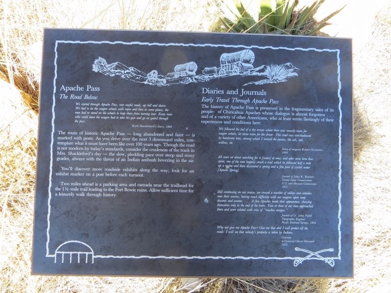
Apache Pass
We started through Apache Pass, over awful roads, up hill and down. We had to tie the wagon wheels with ropes and then in some places, the men had to stand on the wheels to keep them from turning over. Every man who could leave the wagon had to take his gun and go on guard through the pass.
Ruth Shackleford's diary, 1868
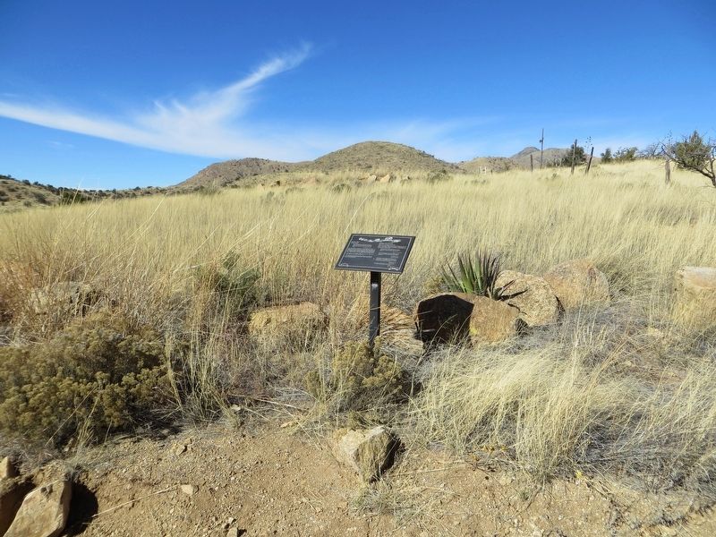
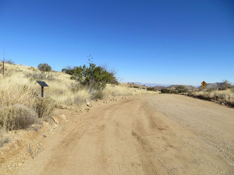
The route of historic Apache Pass – long abandoned and faint – is marked with posts. As you drive over the next 3 downward miles, contemplate what is must have been like over 100 years ago. Though the road is not modern by today's standards, consider the crudeness of the track in Mrs. Shackleford's day – the slow, plodding pace over steep and stony grades, always with the threat of an Indian ambush hovering in the air.
You'll discover more roadside exhibits along the way; look for an exhibit marker on a post before each turnout.
Two miles ahead is a parking area and ramada near the trailhead for the 1 1/2 -mile trail leading to the Fort Bowie ruins. Allow sufficient time for a leisurely walk through history.
Diaries and Journals
Early Travel Through Apache Pass
The history of Apache Pass is preserved in the fragmentary tales of its people: of Chiricahua Apaches whose dialogue is almost forgotten . . . and a variety of other Americans, who at least wrote fleetingly of their experiences and conditions here.
We followed the bed of a dry arroyo where there was scarcely room for wagon wheels, let alone room for the driver. This road was overshadowed by handsome trees, among which I noticed the pecans, the ash, oak, willow, etc.
Diary of emigrant Robert Eccleston 1849
All were set about searching for it [water] at once; and after some time thus spent, one of the men happily struck a trail which he followed half a mile up a ravine and there discovered a spring and a fine pool of crystal water [Apache Spring].
Journal of John R. Bartlett United States Commissioner U.S. And Mexican Commission 1851
Still continuing on our course, we crossed a number of valleys and cañadas near their sources, having much difficulty with our wagons upon steep descents and ascents . . . A few Apaches made their appearance, showing themselves only to the end of the train. Two or three of our men approached them and were saluted with cries of “muchos amigos.”
Journal of Lt. John Parke Topographic Engineer Pacific Railroad Surveys, 1854
Why not give me Apache Pass? Give me that and I will protect all the roads. I will see that nobody's property is taken by Indians.
Cochise to General Oliver Howard 1872
Topics. This historical marker is listed in this topic list: Roads & Vehicles. A significant historical year for this entry is 1868.
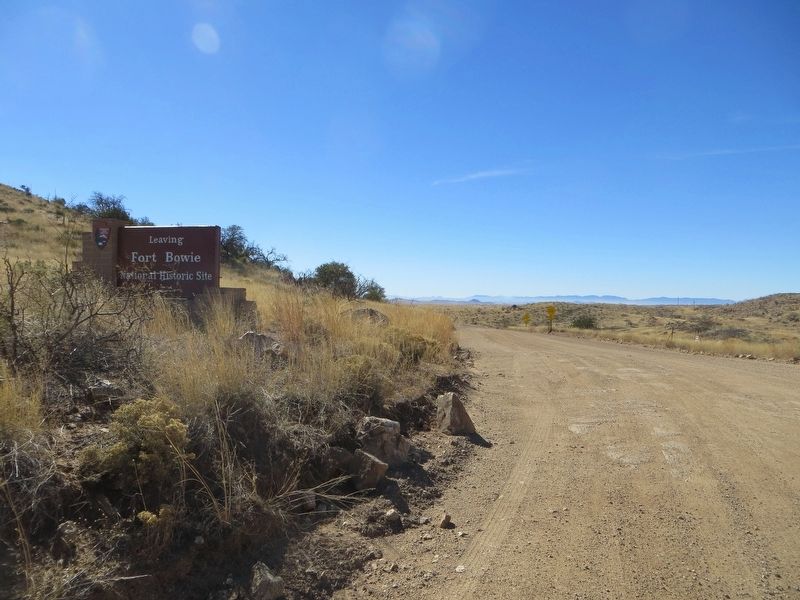
Location. 32° 9.132′ N, 109° 28.878′ W. Marker is near Bowie, Arizona, in Cochise County. Marker is on Apache Pass Road, 6 miles east of Arizona Route 181, on the left when traveling east. Touch for map. Marker is in this post office area: Bowie AZ 85605, United States of America. Touch for directions.
Other nearby markers. At least 8 other markers are within 2 miles of this marker, measured as the crow flies. Apache Pass - A Corridor Through Time (approx. 1.7 miles away); Mining Cabin (approx. 1.7 miles away); Parke Camp Site (approx. 1.8 miles away); The Bascom Affair (approx. 1.9 miles away); Bascom-Cochise Meeting Site (approx. 1.9 miles away); The Stage Station Ruin (approx. 1.9 miles away); The Butterfield Overland Mail (approx. 1.9 miles away); Post Cemetery (approx. 2 miles away). Touch for a list and map of all markers in Bowie.
Credits. This page was last revised on January 23, 2017. It was originally submitted on January 23, 2017, by Bill Kirchner of Tucson, Arizona. This page has been viewed 919 times since then and 38 times this year. Photos: 1, 2, 3, 4. submitted on January 23, 2017, by Bill Kirchner of Tucson, Arizona.


