Near Richmond in Chesterfield County, Virginia — The American South (Mid-Atlantic)
Historic Route 1
1913-1926
— Falling Creek Ironworks Park —
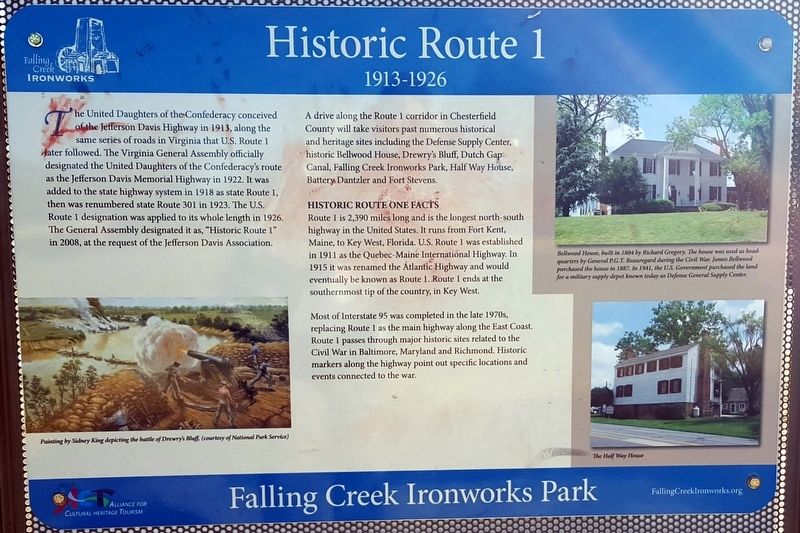
A drive along the Route 1 corridor in Chesterfield County will take visitors past numerous historical and heritage sites including the Defense Supply Center, historic Bellwood House, Drewry’s Bluff, Dutch Gap Canal, Falling Creek Ironworks Park, Half Way House, Battery Dantzler and Fort Stevens.
Historic Route One Facts
Route 1 is 2,390 mile long and is the longest north-south highway in the United States. It runs from Fort Kent, Maine, to Key West, Florida. U.S. Route 1 was established in 1911 as the Quebec-Maine International Highway. In 1915 it was renamed the Atlantic Highway and would eventually be known as Route 1. Route 1 ends at the southernmost tip of the country, in Key West.
Most of Interstate 95 was completed in the late 1970s, replacing Route 1 as the main highway along the East Coast. Route 1 passes through major historic sites related to the Civil War in Baltimore, Maryland and Richmond. Historic markers along the highway point out specific locations and events connected to the war.
(captions)
Painting by Sydney King depicting the battle of Drewry’s Bluff, (courtesy of National Park Service)
Bellwood House, built in 1804 by Richard Gregory. The house was used as headquarters by General P.G.T. Beauregard during the Civil War. James Bellwood purchased the house in 1887. In 1941, the U.S. government purchased the land for a military supply depot known today as Defense General Supply Center.
The Half Way House
Erected 2016 by Falling Creek Ironworks Foundation, Chesterfield Heritage Alliance.
Topics. This historical marker is listed in these topic lists: Roads & Vehicles • War, US Civil.
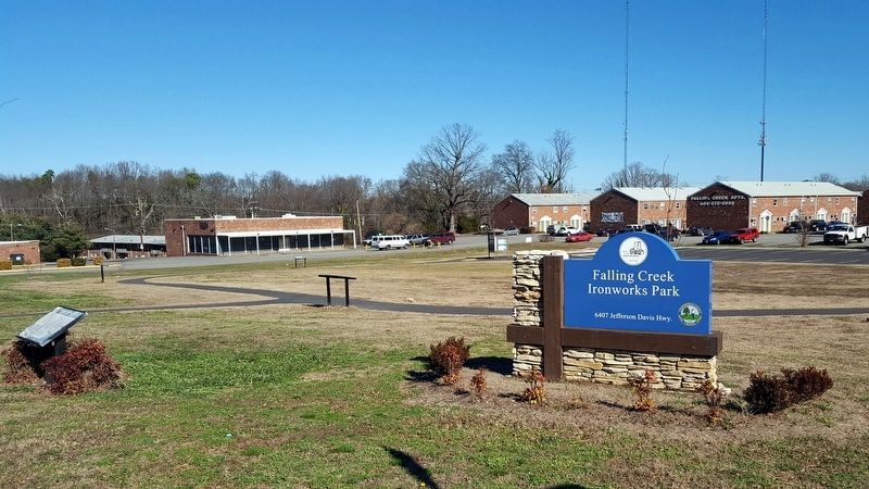
Location. 37° 26.277′ N, 77° 26.278′ W. Marker is near Richmond, Virginia, in Chesterfield County. Marker can be reached from the intersection of Jefferson Davis Highway (U.S. 1) and Marina Drive, on the right when traveling north. Located in Falling Creek Ironworks Park. Touch for map. Marker is at or near this postal address: 6407 Jefferson Davis Hwy, Richmond VA 23237, United States of America. Touch for directions.
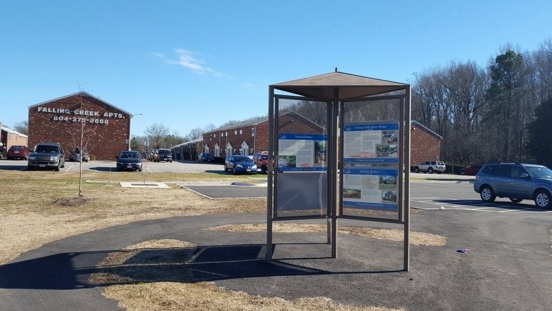
Other nearby markers. At least 8 other markers are within walking distance of this marker. Falling Creek Stone Bridge (here, next to this marker); Cultural History (here, next to this marker); Historic Village of Bensley (here, next to this marker); Natural History (a few steps from this marker); Iron Furnace Overlook (a few steps from this marker); Cary’s Mill Overlook (a few steps from this marker); a different marker also named Natural History (a few steps from this marker); a different marker also named Historic Village of Bensley (within shouting distance of this marker). Touch for a list and map of all markers in Richmond.
Also see . . . Falling Creek Ironworks Foundation. (Submitted on January 26, 2017.)
Credits. This page was last revised on January 26, 2017. It was originally submitted on January 26, 2017, by Bernard Fisher of Richmond, Virginia. This page has been viewed 684 times since then and 54 times this year. Photos: 1, 2, 3. submitted on January 26, 2017, by Bernard Fisher of Richmond, Virginia.


