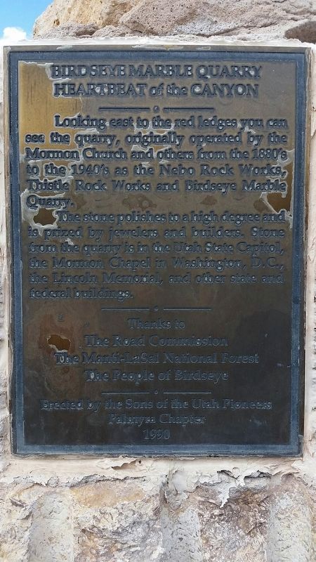
Birdseye Marble Quarry
Heartbeat of the Canyon
The stone polishes to a high degree and is prized by jewelers and builders. Stone from the quarry is in the Utah State Capitol, the Mormon Chapel in Washington, D.C, the Lincoln Memorial,and other state and federal buildings
Thanks to
The Road Commission
Manti-LaSall National Forest
The people of Birdseye
Erected 1990 by Sons of the Utah Pioneers Palmyra Chapter.
Topics and series. This historical marker is listed in this topic list: Industry & Commerce. In addition, it is included in the Sons of Utah Pioneers series list.
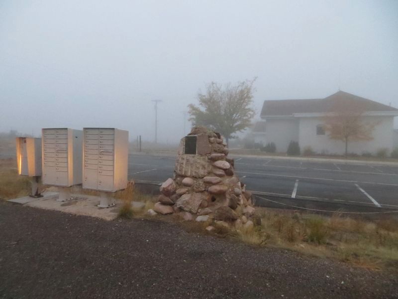
Location. 39° 55.468′ N, 111° 32.664′ W. Marker is in Birdseye, Utah, in Sanpete County. Marker is at the intersection of U.S. 89 and Birdseye Road (Route 89), on the right when traveling south on U.S. 89. Touch for map. Marker is in this post office area: Fairview UT 84629, United States of America. Touch for directions.
Other nearby markers. At least 8 other markers are within 13 miles of this marker, measured as the crow flies. Given Family Massacre (approx. 7.8 miles away); Salem’s First Post Office (approx. 11.4 miles away); Pond Town Fort
Credits. This page was last revised on May 18, 2020. It was originally submitted on January 30, 2017, by Tate Tanner of Spanish fork, Utah. This page has been viewed 647 times since then and 80 times this year. Photos: 1. submitted on January 30, 2017, by Tate Tanner of Spanish fork, Utah. 2. submitted on May 18, 2020, by Bill Kirchner of Tucson, Arizona. • Bill Pfingsten was the editor who published this page.

