Dzibilchaltún in Mérida, Yucatán, Mexico — The Southeast (Yucatan Peninsula)
Sacbe 1
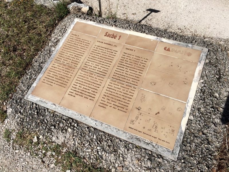
Sacbé 1
Este camino artificial o “sacbé” mide 20 m. de ancho; se inicia al este de la plaza central y 400 m. después, en la misma dirección, entronca con la gran plataforma que sustenta los edificios en torno de la construcción conodia como Las Siete Muñecas. Estuvo en uso entre 600 y 1000 d.C., es decir, durante el Clásico Tardio y Terminal. Dentro del sitio se han localizado once “sacbeoob” que salen del centro y se dirigen hacia los grupos de construcciones situadas en la periferia, con lo cual dan al sitio carácter urbano. Los “sacbeoob” interiores se han interpretado como evidencia de sistemas de parentesco entre familias.
Maya-Yucateco:
Yáax Sakbej. (1)
Le bej meentpaja’ana’ yaan ti’ 20 metros u kóochil; ju káajal tu lak’inil le k’ilwikil chúumukilo’, yéetel 400 metros tu táan, ku núupul táankabil ku kuchik le najo’ob yaan tu bak’pachil le naj k’ajóolta’an je’ex Las siete muñecas. Meyajnaj ichil 600 yéetel 1000 ts’o’okol ki’ichkelem yuum, ti’ Clásico Tardio yéetel Terminal. Ichil le kúuchila’ ts’u yila’al buluk wa oonse sakbejo’ob, lelo’oba’ ku jóok’olo’ob kitak u chúumukil yéetel ku bino’ob ti’ le uláak’ najo’ob yaan tu bak’pachilo’, beyo’ bey jump’éel nojoch kaaje’. Le sakbejo’obil ichilo’ ts’u yila’alo’ob je’ex u chilkuill yaan láak’tsilil ichil ch’i’l balilo’ob.
English:
Sacbe 1
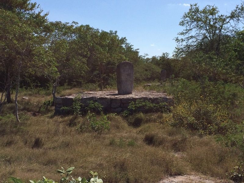
This road, or “Sacbe 1”, is 20 mts wide. It begins at the East of the Central Square and 400 mets later, in the same direction, it connects with the huge platform which upholds the buildings that surround the construction known as the “The Seven Dolls”. It was mainly in use between 600 and 1000 A.D., that is, during the Late and Terminal Classic periods. Within the site eleven “Sacbeoob” have been located, all of them beginning at the center and leading to the to the peripheral constructions, thus giving the site an urban character. The inner “Sacbeoob” have been interpreted as evidence of ties between families.
Erected by Instituto Nacional de Antropología e Historia (INAH).
Topics. This historical marker is listed in these topic lists: Anthropology & Archaeology • Native Americans.
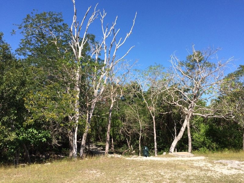
Location. 21° 5.481′ N, 89° 35.703′ W. Marker is in Dzibilchaltún, Yucatán, in Mérida. The marker is located about 75 meters to the left after the entrance to the Dzibilchaltun Archaeological Zone, along the "sacbe" towards the Seven Dolls Temple. The park is off the road towards the small village of Dzilbilchaltun, to the east some 20 km north of Mérida on the Mérida-Progeso Highway (Hwy. 261). Touch for map. Marker is in this post office area: Dzibilchaltún YU 97300, Mexico. Touch for directions.
Other nearby markers. At least 8 other markers are within walking distance

Photographed By J. Makali Bruton, January 11, 2017
2. Sacbe 1 Marker
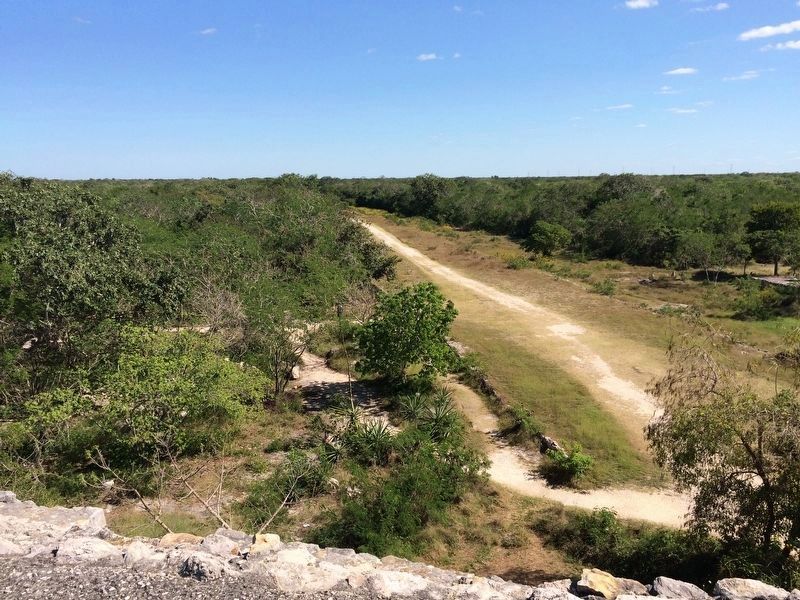
The marker is to the north along the main road between the Central Square and the Temple of the Seven Dolls as one walks along the "sacbe" or raised road. "Sacbe" means "white way or road" which refers to the road being made of limestone blocks and rubble. One of the smaller "sacbe" can be seen leading off to the north of the marker.
Credits. This page was last revised on October 14, 2022. It was originally submitted on January 30, 2017, by J. Makali Bruton of Accra, Ghana. This page has been viewed 236 times since then and 11 times this year. Photos: 1, 2, 3, 4. submitted on January 30, 2017, by J. Makali Bruton of Accra, Ghana.


