Apalachicola in Franklin County, Florida — The American South (South Atlantic)
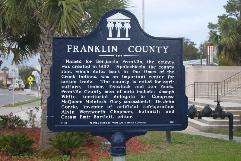
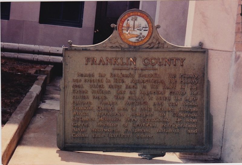
Franklin County
Erected 1961 by Florida Board of Parks and Historic Memorials. (Marker Number F-62.)
Topics. This historical marker is listed in this topic list: Settlements & Settlers. A significant historical year for this entry is 1832.
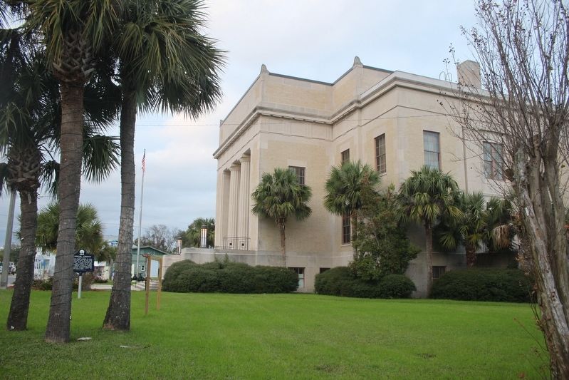
Location. 29° 43.536′ N, 84° 58.975′ W. Marker is in Apalachicola, Florida, in Franklin County. Marker is at the intersection of Market Street (U.S. 98) and Forbes Street, on the right when traveling north on Market Street. Touch for map. Marker is in this post office area: Apalachicola FL 32320, United States of America. Touch for directions.
Other nearby markers. At least 8 other markers are within walking distance of this marker. Fort Coombs - Franklin Guards (about 600 feet away, measured in a direct line); Dr. John Gorrie (approx. 0.2 miles away); Methodist Episcopal Church South (approx. 0.2 miles away); Trinity Episcopal Church (approx. 0.2 miles away); When the River Was King! (approx. 0.2 miles away); The Dr. Alvan W. Chapman House (approx. ¼ mile away); The Raney House (approx. ¼ mile away); The Hanserd-Fry House (approx. ¼ mile away). Touch for a list and map of all markers in Apalachicola.
Credits. This page was last revised on August 2, 2017. It was originally submitted on January 30, 2017, by Tim Fillmon of Webster, Florida. This page has been viewed 313 times since then and 7 times this year. Photos: 1, 2, 3. submitted on January 30, 2017, by Tim Fillmon of Webster, Florida. • Bernard Fisher was the editor who published this page.


