Dzibilchaltún in Mérida, Yucatán, Mexico — The Southeast (Yucatan Peninsula)
The Habitational Complex
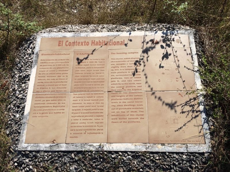
El contexto habitacional
Este conjunto de carácter domestico ocupa una superficie de poco más de 4000 m2. Se compone de una plataforma mayor al centro y alrededor de ella se sitúan otras plataformas menores: dos se le adosan, dos más se sitúan al norte, cerca de la plataforma central, y cruzan por el Cuarto Eliptico 2. Las dimensiones y alturas que tienen las diversas platafomras señalan distintos niveles de jerarquía social, ya que sobre ellas se asentaron viviendas de material perecedero. Bajo el piso de estas plataformas se enterró a la gente que habitó en este conjunto.
Maya-Yucateco:
U Kajtalil.
Le múuch je’ela’ ku k’uchul u nojochil jump’iit ti’ 4000 M2. Yaan ti’ jump’éel nojoch ka’anal táankabil tu chúumuk, yéetel tu bak’paachile’ yaan uláak’ mejen ka’anal táankabilo’ob: ka’apéel ku táak’al ti’, uláak ka’ap’éele’ tya’ano’ob xamane’ yéetel jump’éel nojol; yaan xan óoxp’éel chan najo’ob kóoch kaabal yéetel nu’ut ka’anal te’ lak’ino’ yéetel jump’éel je’ex bey tu’ux ku k’a’alal ba’alche’ob te’ xamanchik’ino’. Yaan jump’éel koot ku táats’máansik tuláakal le kajtalil te’ xamano’ naats’ ti’ le ka’anal táankab yaan chúumuko’, ku máan te’ chan naj kóoch kaabal yéetel nu’ut’ ka’anal ka’ap’éelo’. U nojochil yéetel ka’analil yaan ti’ le ka’anal táankabilo’obo’ ku ye’esiko’ob jela’antak u nojochil u tsiikil le máako’obo’, tumen tu yóok’ol anchaj ka’ach najo’obil ba’alo’ob ma’tu xáantalo’ob. Tu yáanal le ka’anal táankabo’oba’ jmu’uk le máaxo’ob tu kajkuntajo’ob le kúuchila’.
English:
The housing complex
This cluster, which displays characteristics of domestic use, occupies a surface of slightly more than 4,000 sq. mts. It is composed of a main platform in the middle, surrounded by smaller platforms, two of which join it, and two others which lie to the north, near the central platform and then cross by the Eliptical Room 2. The dimensions and heights of the various platforms indicate distinct levels in the social hierarchy, since dwellings made out of perishable materials sat on top of them. The inhabitants of this cluster were buried beneath the floors of the platforms.
Erected by Instituto Nacional de Antropología e Historia (INAH.
Topics. This historical marker is listed in these topic lists: Anthropology & Archaeology • Native Americans. A significant historical year for this entry is 1000 CE.
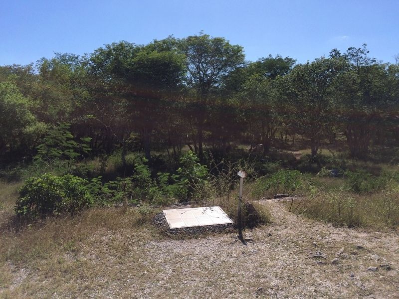
Location. 21° 5.469′ N, 89° 35.592′ W. Marker is in Dzibilchaltún, Yucatán, in Mérida. The marker is located about 75 meters to the left after the entrance to the Dzibilchaltun Archaeological Zone, along the "sacbe" towards the Seven Dolls Temple. The park is off the road
towards the small village of Dzilbilchaltun, to the east some 20 km north of Mérida on the Mérida-Progeso Highway (Hwy. 261). Touch for map. Marker is in this post office area: Dzibilchaltún YU 97300, Mexico. Touch for directions.
Other nearby markers. At least 8 other markers are within walking distance of this marker. Sacbe 1 (about 180 meters away, measured in a direct line); Adjoining Rooms (about 210 meters away); The Seven Dolls (approx. 0.3 kilometers away); Dzibilchaltún Archaeological Site (approx. 0.4 kilometers away); Structure 36 (approx. 0.4 kilometers away); The Open Chapel (approx. 0.4 kilometers away); Central Square (approx. 0.4 kilometers away); Substructure 38 (approx. 0.4 kilometers away). Touch for a list and map of all markers in Dzibilchaltún.
Credits. This page was last revised on October 14, 2022. It was originally submitted on January 31, 2017, by J. Makali Bruton of Accra, Ghana. This page has been viewed 149 times since then and 5 times this year. Photos: 1, 2. submitted on January 31, 2017, by J. Makali Bruton of Accra, Ghana.

