Near Brunswick in Frederick County, Maryland — The American Northeast (Mid-Atlantic)
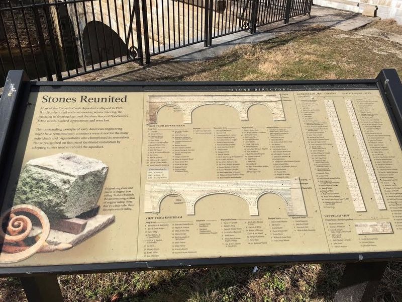
Stones Reunited
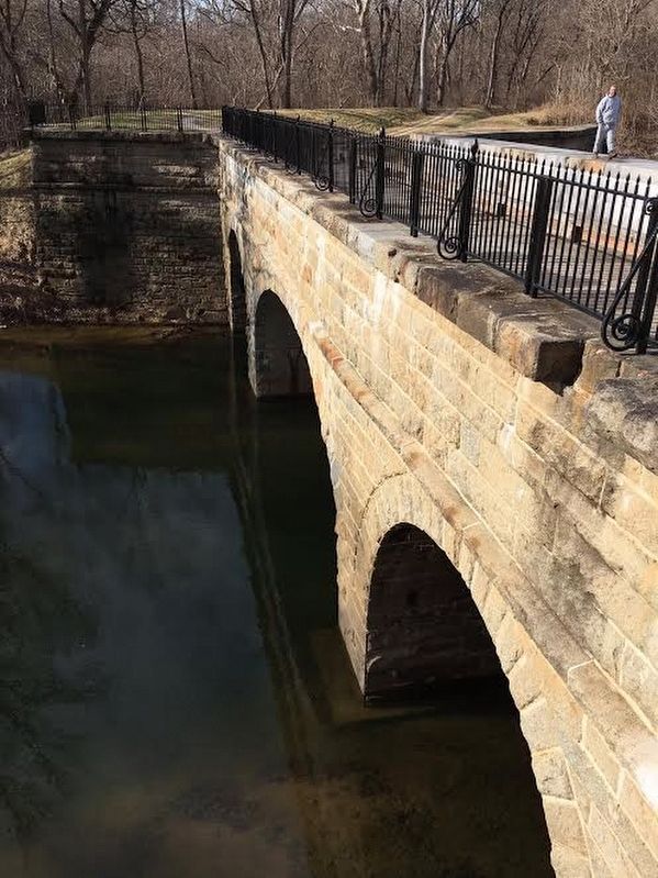
Most of the Catoctin Creek Aqueduct collapsed in 1973. For decades it had endured erosion, winter freezing, the battering of floating logs, and the sheer force of floodwaters. Some stones washed downstream and were lost.
This outstanding example of early American engineering might have remained only a memory were it not for the many individuals and organizations who championed its restoration. Those recognized on this panel facilitated restoration by adopting used stones to rebuild the aqueduct.
Topics. This historical marker is listed in these topic lists: Bridges & Viaducts • Waterways & Vessels. A significant historical year for this entry is 1973.
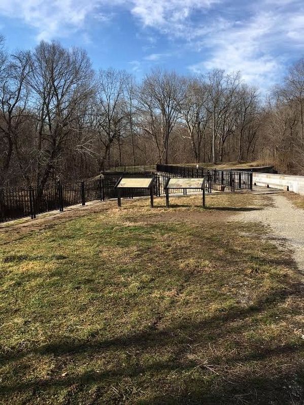
Location. 39° 18.664′ N, 77° 34.1′ W. Marker is near Brunswick, Maryland, in Frederick County. Marker can be reached from C&O Canal Towpath (at milepost 51.5). The marker is beside the C&O Canal Towpath on the eastern side of the aqueduct. Touch for map. Marker is in this post office area: Jefferson MD 21755, United States of America. Touch for directions.
Other nearby markers. At least 8 other markers are within 3 miles of this marker, measured as the crow flies. Catoctin Aqueduct (here, next to this marker); Aqueduct Stones (a few steps from this marker); The Beautiful Aqueduct (a few steps from this marker); Fall and Rise of an Aqueduct (a few steps from this marker); A Lockkeeper's Life (approx. 0.6 miles away); Abraham Lakin 2nd (approx. 1.8 miles away); Lockhouse 28 (approx. 2.3 miles away); A Canal Home (approx. 2.3 miles away). Touch for a list and map of all markers in Brunswick.
Credits. This page was last revised on September 28, 2020. It was originally submitted on February 6, 2017, by Brandon Stahl of Fairfax, Virginia. This page has been viewed 264 times since then and 6 times this year. Photos: 1, 2, 3, 4. submitted on February 6, 2017, by Brandon Stahl of Fairfax, Virginia. • J. J. Prats was the editor who published this page.


