Cypress in Suffolk, Virginia — The American South (Mid-Atlantic)
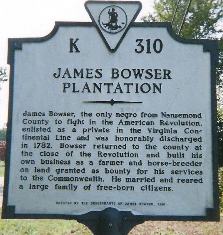
James Bowser Plantation
Erected 1981 by the Descendants of James Bowser. (Marker Number K-310.)
Topics and series. This historical marker is listed in these topic lists: African Americans • Patriots & Patriotism • War, US Revolutionary. In addition, it is included in the Virginia Department of Historic Resources (DHR) series list. A significant historical year for this entry is 1782.
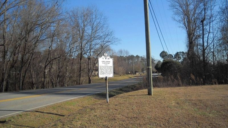
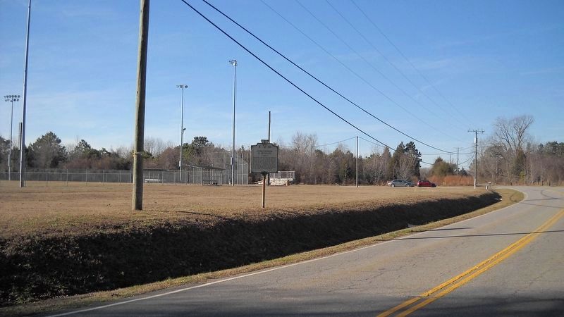
Location. 36° 48.917′ N, 76° 31.512′ W. Marker is in Suffolk, Virginia. It is in Cypress. Marker is on Sleepy Hole Road (County Road 629), on the left when traveling north. The marker stands on a corner of land with Monogram Field, a single diamond baseball field that belongs to Suffolk Parks and Recreation. Touch for map. Marker is at or near this postal address: 3731 Sleepy Hole Road, Suffolk VA 23434, United States of America. Touch for directions.
Other nearby markers. At least 8 other markers are within 2 miles of this marker, measured as the crow flies. Revolutionary Camp (approx. 1.1 miles away); James Bowser, Revolutionary Soldier (approx. 1.3 miles away); Sleepy Hole Ferry (approx. 1˝ miles away); Yeates School (approx. 1˝ miles away); Bennett's Home (approx. 1.7 miles away); Hargrove's Tavern (approx. 1.7 miles away); Glebe Church (approx. 1.7 miles away); a different marker also named Glebe Church (approx. 1.7 miles away). Touch for a list and map of all markers in Suffolk.
More about this marker. This marker for James Bowser Plantation has the same number K 310 as the marker for James Bowser, Revolutionary Soldier, erected by the Department of Historic Resources, 1998 on Nansemond Parkway. See the other nearby markers section for the link.
Credits. This page was last revised on February 1, 2023. It was originally submitted on February 9, 2017, by Cynthia L. Clark of Suffolk, Virginia. This page has been viewed 1,349 times since then and 98 times this year. Last updated on September 10, 2017, by Cynthia L. Clark of Suffolk, Virginia. Photos: 1, 2, 3. submitted on February 9, 2017, by Cynthia L. Clark of Suffolk, Virginia. • Bernard Fisher was the editor who published this page.


