Eufaula in Barbour County, Alabama — The American South (East South Central)
The Creek Town of Eufaula
— Creek Heritage Trail —
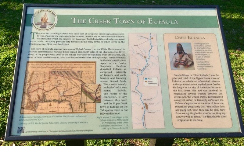
The town of Eufaula appears on maps as "Uphale" as early as the 1730s. The town and its outlying settlements at various times spread along both sides of the Chattahoochee River. Many of the people who lived in the village may have moved here from other areas, and some of them are believed to have later helped settle some of the principal Seminole towns in Florida. United States Agent to the Creeks Benjamin Hawkins described Eufaula as comprised primarily of farmers and cattle herders and featuring several fenced fields. There were actually multiple Creek towns named Eufaula. The nature of the connection, if any, between this town and the Upper Creek town of Eufaula on the Tallapoosa River is not fully understood.
[Right side insert]
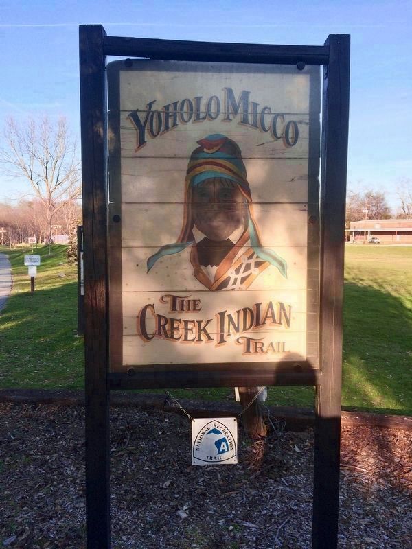
Yoholo Micco, or "Chief Eufaula," was the principal chief of the Upper Creek town of Eufaula, but is believed to have had relatives and acquaintances among the Lower Creeks. He fought as an ally of American forces in the first Creek War and was involved in negotiating several treaties between the Creeks and the United States. Remembered as a great orator, he famously addressed the Alabama legislature at the time of Removal, remarking poignantly that "the Indian fires are going out. Soon they will be cold. New fires are lighting in the west for us, they say, and we will go there." He died shortly after emigration to the west.
[Left side map caption]
A New Map of Georgia, with part of Carolina, Florida, and Louisiana, by Emmanuel Bowen, 1747
Courtesy of W.S. Hoole Special Collections Library, University of Alabama
[Middle map caption]
Map of Creek villages in the Eufaula area, circa 1800, based on Archaeology of the Lower Muskogee Creek Indians, 1715-1836, by H. Thomas Foster II.
[Right lithograph]
This lithograph was made after a portrait by Charles Bird King produced at the time of Yoholo Micco's visit to Washington, D.C. as part of a Creek delegation.
Courtesy of the Eufaula-Barbour County Chamber of Commerce
Erected 2015 by the Historic Chattahoochee Commission and the City of Eufaula.
Topics. This historical marker is listed in these topic lists: Native Americans
• Settlements & Settlers • Wars, US Indian. A significant historical year for this entry is 1747.
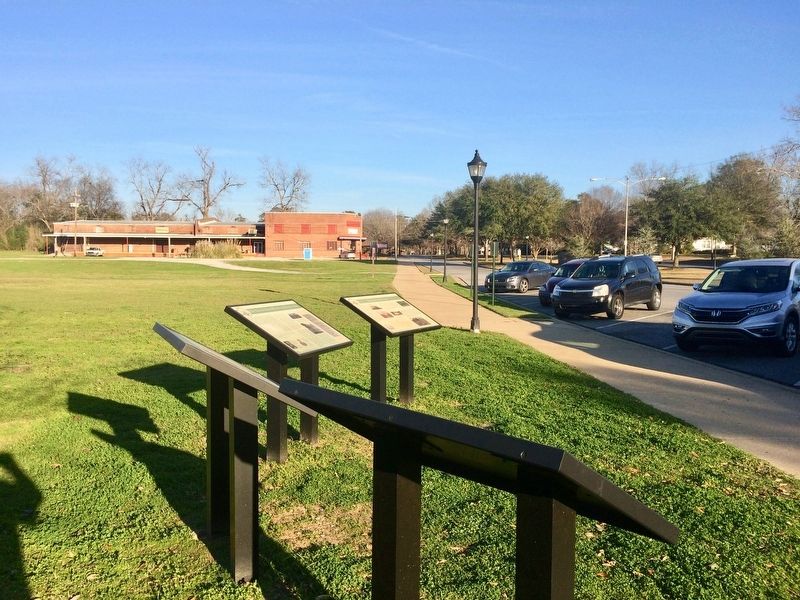
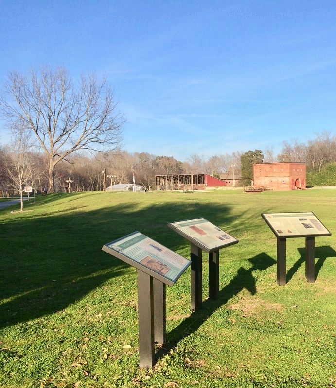
Location. 31° 53.598′ N, 85° 8.406′ W. Marker is in Eufaula, Alabama, in Barbour County. Marker is on East Broad Street east of North Livingston Avenue, on the right when traveling west. Interpretive marker is located at the Yoholo Micco Trail. Touch for map. Marker is at or near this postal address: East Broad Street, Eufaula AL 36027, United States of America. Touch for directions.
Other nearby markers. At least 8 other markers are within walking distance of this marker. The Town of Irwinton (here, next to this marker); The Second Creek War in the Eufaula Area (here, next to this marker); The City of Eufaula (here, next to this marker); Central Railroad of Georgia Freight Depot (within shouting distance of this marker); Eufaula (within shouting distance of this marker); William Thomas "Tom" Mann / Eufaula, Alabama (within shouting distance of this marker); Cotton and Creek Country (about 500 feet away, measured in a direct line); Chief Eufaula (Yoholo Micco) (about 600 feet away). Touch for a list and map of all markers in Eufaula.
Regarding The Creek Town of Eufaula. The Eufaula people were a tribe of Native Americans in the United States, located in the Southeast. A Muskogean-speaking people, they possibly broke off from the Kealedji or Hilibi tribe. They were part of the Muscogee Creek Confederacy.
Some Eufaula lived along the Chattahoochee River in what became the state of Georgia. The Lower Creek Eufaula settled there by 1733, and quite possibly earlier than that. With more frequent contact with Europeans and later Americans, they had trade and adopted some European-style customs.
In 1832, theirs was the only Upper Creek town listed on the census. Their people were the only Upper Creek town that moved to Indian Territory; they settled near what developed as Eufaula, Oklahoma, named for them and their towns.
Their name is preserved in the modern cities of Eufaula, Alabama and Eufaula, Oklahoma; and also with Lake Eufaula in Oklahoma.
Also see . . . The Eufaula Tribe. (Submitted on February 10, 2017, by Mark Hilton of Montgomery, Alabama.)
Credits. This page was last revised on February 11, 2017. It was originally submitted on February 10, 2017, by Mark Hilton of Montgomery, Alabama. This page has been viewed 1,461 times since then and 156 times this year. Photos: 1, 2, 3, 4, 5. submitted on February 10, 2017, by Mark Hilton of Montgomery, Alabama.
