Eufaula in Barbour County, Alabama — The American South (East South Central)
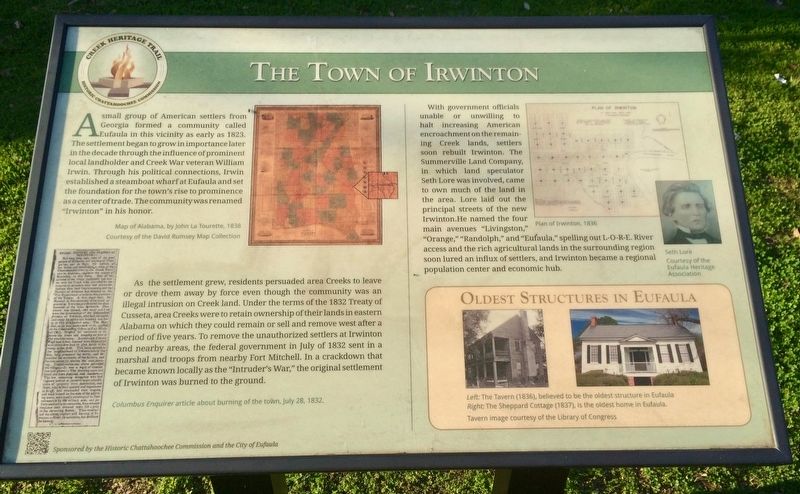
The Town of Irwinton
— Creek Heritage Trail —
As the settlement grew, residents persuaded area Creeks to leave or drove them away by force even though the community was an illegal intrusion on Creek land. Under the terms of the 1832 Treaty of Cusseta, area Creeks were to retain ownership of their lands in eastern Alabama on which they could remain or sell and remove west after a period of five years. To remove the unauthorized settlers at Irwinton and nearby areas, the federal government in July of 1832 sent in a marshal and troops from nearby Fort Mitchell. In a crackdown that became known locally as the "Intruder's War," the original settlement of Irwinton was burned to the ground.
With government officials unable or unwilling to halt increasing American encroachment on the remaining Creek lands, settlers soon rebuilt Irwinton. The Summerville Land Company, in which land speculator Seth Lore was involved, came to own much of the land in the area. Lore laid out the principal streets of the new Irwinton. He named the four main avenues "Livingston," "Orange "Randolph," and "Eufaula," spelling out L-O-R-E. River access and the rich agricultural lands in the surrounding region soon lured an influx of settlers, and Irwinton became a regional population center and economic hub.
[Left top map caption]
Map of Alabama, by John La Tourette, 1838
Courtesy of the David Rumsey Map Collection
[Bottom left article]
Columbus Enquirer article about burning of the town, July 28, 1832.
[Top right map]
Plan of Irwinton, 1836
[Middle right photo]
Seth Lore
Courtesy of the Eufaula Heritage Association
[Bottom right photos]
Oldest Structures in Eufaula
Left: The Tavern (1836) believed to be the oldest structure in Eufaula
Right:The Sheppard Cottage (1837), is the oldest home in Eufaula.
Tavern image courtesy of the Library of Congress
Erected 2015 by the Historic Chattahoochee Commission and the City of Eufaula.
Topics. This historical marker is listed in these topic lists: Native Americans • Settlements & Settlers. A significant historical month for this entry is July 1832.
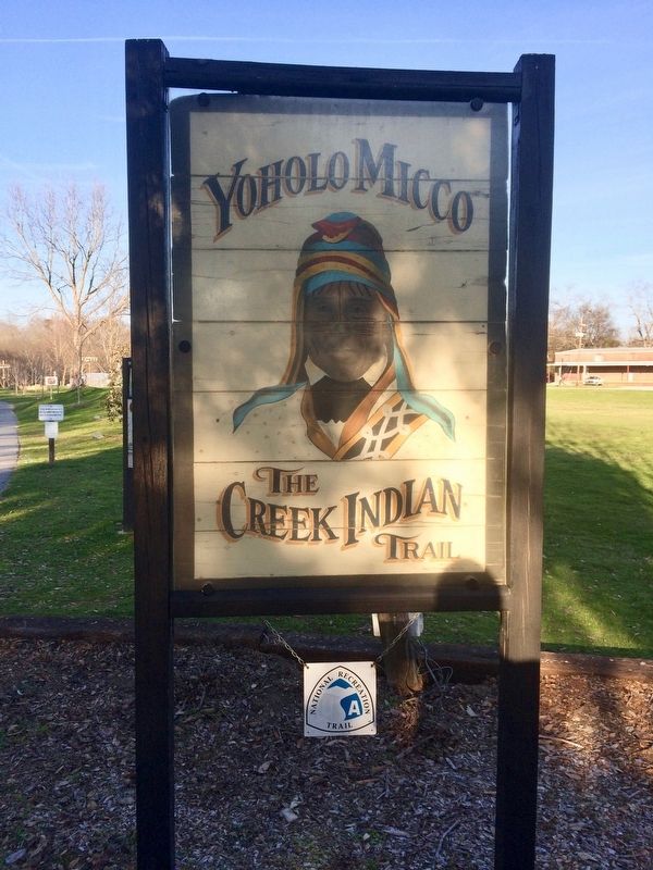
Location. 31° 53.599′ N, 85° 8.405′ W. Marker is in Eufaula, Alabama, in Barbour County. Marker is on East Broad Street east of North Livingston Avenue. Interpretive marker is located at the Yoholo Micco Trail. Touch for map. Marker is at or near this postal address: East Broad Street, Eufaula AL 36027, United States of America. Touch for directions.
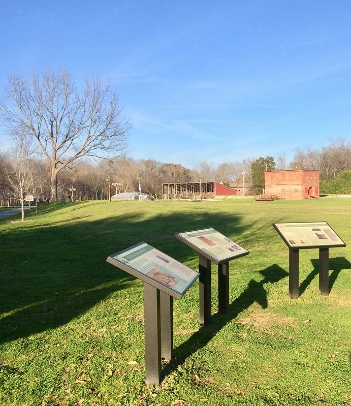
Other nearby markers. At least 8 other markers are within walking distance of this marker. The Second Creek War in the Eufaula Area (here, next to this marker); The Creek Town of Eufaula (here, next to this marker); The City of Eufaula (here, next to this marker); Central Railroad of Georgia Freight Depot (within shouting distance of this marker); Eufaula (within shouting distance of this marker); William Thomas "Tom" Mann / Eufaula, Alabama (within shouting distance of this marker); Cotton and Creek Country (about 500 feet away, measured in a direct line); Chief Eufaula (Yoholo Micco) (about 600 feet away). Touch for a list and map of all markers in Eufaula.
Also see . . . The Encyclopedia of Alabama article on Eufuala. (Submitted on February 10, 2017, by Mark Hilton of Montgomery, Alabama.)
Credits. This page was last revised on February 11, 2017. It was originally submitted on February 10, 2017, by Mark Hilton of Montgomery, Alabama. This page has been viewed 780 times since then and 98 times this year. Photos: 1, 2, 3, 4. submitted on February 10, 2017, by Mark Hilton of Montgomery, Alabama.


