Manassas in Prince William County, Virginia — The American South (Mid-Atlantic)
Sudley Springs
Manassas National Battlefield Park
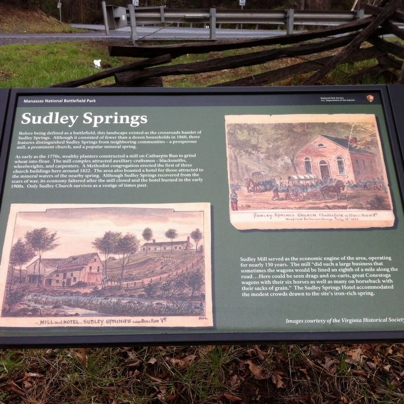
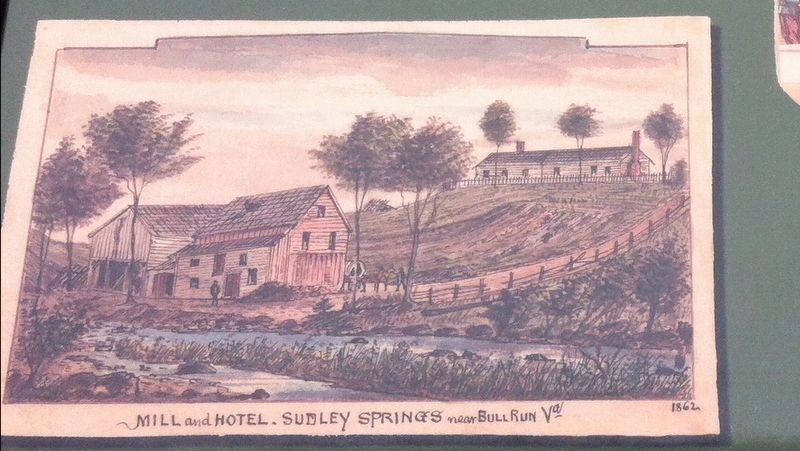
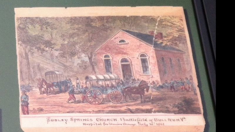
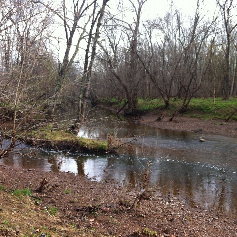
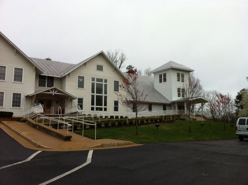
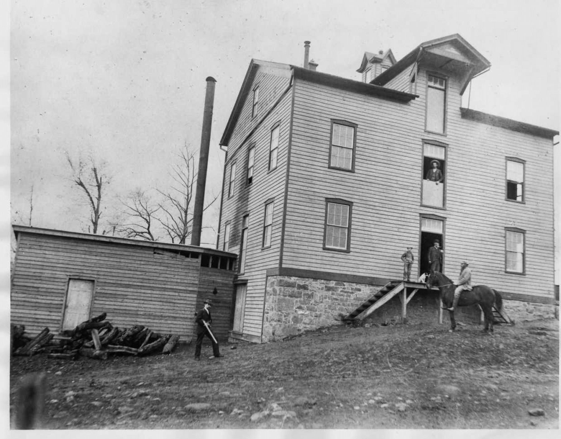
As early as the 1770s, wealthy planters constructed a mill on Catharpin Run to grind wheat into flour. The mill complex attracted auxiliary craftsmen - blacksmiths, wheelrights, and carpenters. A Methodist congregation erected the first of three church buildings here around 1822. The area also boasted a hotel for those attracted to the mineral waters of a nearby spring. Although Sudley Springs recovered from the scars of war, its economy faltered after the mill closed and the hotel burned in the early 1900s. Only Sudley Church remains as a vestige of times past.
Sudley Mill served as the economic engine for the area, operating for nearly 150 years. The mill "did such a large business that sometimes the wagons would be lined an eighth of a mile along the road...Here could be seen drags and ox-carts, great Conestoga wagons with their six horses as well as many on horseback with their sacks of grain." The Sudley Springs hotel accommodated the modest crowds drawn to the site's iron rich spring.
Images courtesy of the Virginia Historical Society
Erected by National Park Service, U.S. Department of the Interior.
Topics. This historical marker is listed in these topic lists: Churches & Religion • Industry & Commerce • Settlements & Settlers • War, US Civil.
Location. 38° 50.477′ N, 77° 32.251′ W. Marker is in Manassas, Virginia, in Prince William County. Marker is at the intersection of Sudley Road (Virginia Route 234) and Featherbed Lane, on the right when traveling north on Sudley Road. Touch for map. Marker is at or near this postal address: 5309 Sudley Rd, Manassas VA 20109, United States of America. Touch for directions.
Other nearby markers. At least 8 other markers are within walking distance of this marker. Field Hospital (within shouting distance of this marker); Thornberry House (within shouting distance of this marker); Sudley Springs Ford (about 500 feet away, measured in a direct line); a different marker also named Sudley Springs Ford (about 500 feet away); A Debt Repaid (about 600 feet away); Sudley Methodist Church (about 600 feet away); Sudley Church (approx. 0.2 miles away); Sudley (approx. 0.2 miles away). Touch for a list and map of all markers in Manassas.
Also see . . . Manassas National Battlefield Park. National Park Service (Submitted on February 21, 2017.)
Credits. This page was last revised on April 9, 2022. It was originally submitted on February 18, 2017, by Shane Oliver of Richmond, Virginia. This page has been viewed 905 times since then and 96 times this year. Photos: 1, 2, 3, 4, 5. submitted on February 18, 2017, by Shane Oliver of Richmond, Virginia. 6. submitted on September 21, 2021, by Rebecca Polk Phillips of Overton, Texas. • Bernard Fisher was the editor who published this page.
