Manassas in Prince William County, Virginia — The American South (Mid-Atlantic)
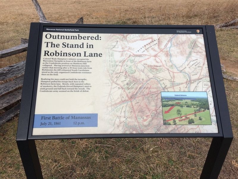
Outnumbered: The Stand in Robinson Lane
First Battle of Manassas
— July 21, 1861 12 p.m. —
Colonel Wade Hampton's infantry occupied the Warrenton Turnpike in front of the Robinson farm as the Confederate position on Matthews Hill collapsed. Having arrived at Manassas Junction earlier that morning after a 30-hour train ride from Richmond, the 600 exhausted South Carolinians stood as the only organized Confederate resistance then on the field.
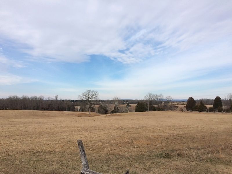
Realizing his men could not hold the turnpike, Hampton pulled his troops back here to the Robinson farm lane. Slowly, with repeated volleys of musketry, the Federals forced Hampton's men to yield ground and fall back toward the woods. The Confederate army seemed on the brink of defeat.
Erected by Manassas National Battlefield Park, National Park Service, U.S. Department of the Interior.
Topics. This historical marker is listed in this topic list: War, US Civil. A significant historical date for this entry is July 21, 1861.
Location. 38° 49.158′ N, 77° 31.179′ W. Marker is in Manassas, Virginia, in Prince William County. Marker can be reached from Lee Highway (Virginia Route 29) 0.4 miles east of Sudley Road (Route 234), on the right when traveling east. Touch for map. Marker is in this post office area: Manassas VA 20109, United States of America. Touch for directions.
Other nearby markers. At least 8 other markers are within walking distance of this marker. Outnumbered (here, next to this marker); Robinson House (within shouting distance of this marker); a different marker also named Robinson House (about 300 feet away, measured in a direct line); War-Time Henry Hill (about 500 feet away); James Robinson House (about 700 feet away); Confederates Rally (approx. 0.2 miles away); a different marker also named Confederates Rally (approx. 0.2 miles away); 7th Georgia Regiment (approx. ¼ mile away). Touch for a list and map of all markers in Manassas.
Also see . . .
1. Manassas National Battlefield Park. National Park Service website entry (Submitted on February 21, 2017.)
2. Old Marker at this Location. This marker replaced an older one at this location titled “Outnumbered” (Submitted on February 21, 2017.)
Credits. This page was last revised on April 18, 2024. It was originally submitted on February 19, 2017, by Shane Oliver of Richmond, Virginia. This page has been viewed 315 times since then and 22 times this year. Photos: 1, 2. submitted on February 19, 2017, by Shane Oliver of Richmond, Virginia. • Bernard Fisher was the editor who published this page.

