Kill Devil Hills in Dare County, North Carolina — The American South (South Atlantic)
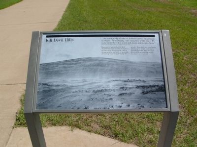
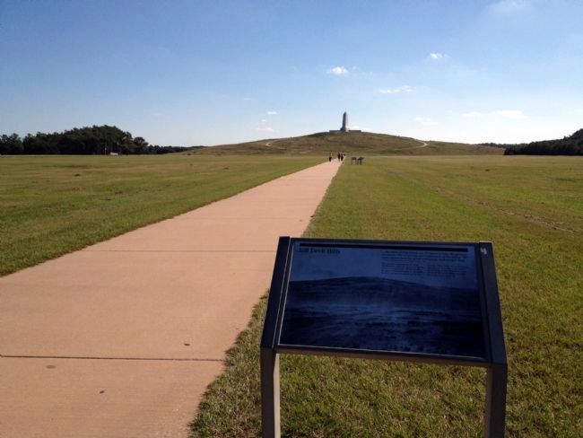
Kill Devil Hills
Letter from Orville Wright to Katharine Wright, October 18, 1900
"The practice ground at the Kill Devil Hills consists of a level plain of bare sand, from which rises a group of detached hills or mounds formed of sand heaped up by the winds. These hills are constantly changing in height and slope, according to the direction and force of the prevailing winds."
Wilbur Wright, lecture of June 24, 1903
Erected by U.S. Department of the Interior, National Park Service, Wright Brothers National Memorial.
Topics. This historical marker is listed in these topic lists: Air & Space • Notable Events. A significant historical date for this entry is June 24, 1858.
Location. 36° 1.179′ N, 75° 40.126′ W. Marker is in Kill Devil Hills, North Carolina, in Dare County. Marker can be reached from Wright Brothers National Monument Road. Touch for map. Marker is in this post office area: Kill Devil Hills NC 27948, United States of America. Touch for directions.
Other nearby markers. At least 8 other markers are within walking distance of this marker. The First Flight (here, next to this marker); Getting Off the Ground (here, next to this marker); Commemoration (a few steps from this marker); The First Successful Flight of an Airplane (a few steps from this marker); First Flights: December 17th, 1903 (within shouting distance of this marker); The Camp (within shouting distance of this marker); Home Away From Home (within shouting distance of this marker); a different marker also named The First Flight (within shouting distance of this marker). Touch for a list and map of all markers in Kill Devil Hills.
Credits. This page was last revised on June 16, 2016. It was originally submitted on August 11, 2008, by Kevin W. of Stafford, Virginia. This page has been viewed 1,232 times since then and 7 times this year. Photos: 1. submitted on August 11, 2008, by Kevin W. of Stafford, Virginia. 2. submitted on January 26, 2014, by Duane Hall of Abilene, Texas.

