McComb in Pike County, Mississippi — The American South (East South Central)
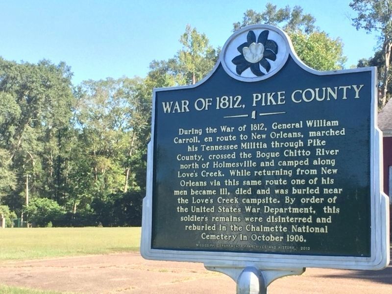
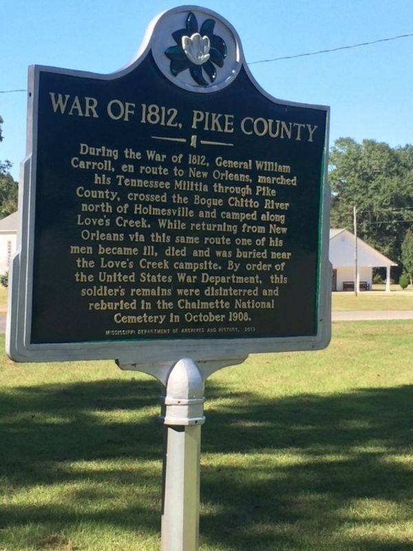
War of 1812, Pike County
Erected 2013 by Mississippi Department of Archives and History.
Topics and series. This historical marker is listed in these topic lists: Cemeteries & Burial Sites • War of 1812. In addition, it is included in the Mississippi State Historical Marker Program series list. A significant historical year for this entry is 1812.
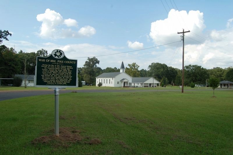
Location. 31° 12.244′ N, 90° 18.547′ W. Marker is in McComb, Mississippi, in Pike County. Marker is at the intersection of Tennessee Street and Madison Street, on the right when traveling north on Tennessee Street. Touch for map. Marker is at or near this postal address: 1016 Tennessee St, McComb MS 39648, United States of America. Touch for directions.
Other nearby markers. At least 8 other markers are within 8 miles of this marker, measured as the crow flies. Old Pike County Chancery Clerk's Office (within shouting distance of this marker); Creation of Pike County (within shouting distance of this marker); Holmesville Cemetery (approx. 0.3 miles away); Holmesville (approx. 1.3 miles away); Col. Preston Brent (approx. 5.6 miles away); J.A. Jones Consolidated School (approx. 5.9 miles away); Bogue Chitto Church (approx. 6.2 miles away); Simmons House (approx. 7˝ miles away). Touch for a list and map of all markers in McComb.
Credits. This page was last revised on March 31, 2019. It was originally submitted on February 22, 2017, by Rick Collins of Grand Isle, Louisiana. This page has been viewed 652 times since then and 42 times this year. Photos: 1, 2. submitted on February 22, 2017, by Rick Collins of Grand Isle, Louisiana. 3. submitted on March 31, 2019. • Bernard Fisher was the editor who published this page.


