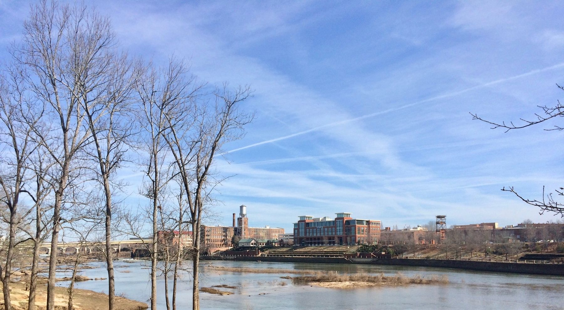
Columbus in Muscogee County, Georgia — The American South (South Atlantic)
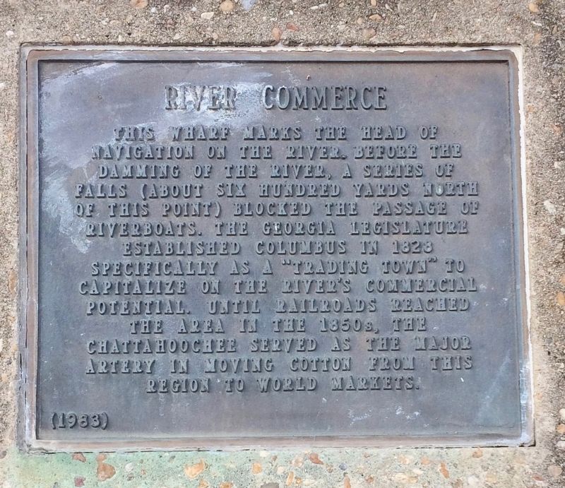
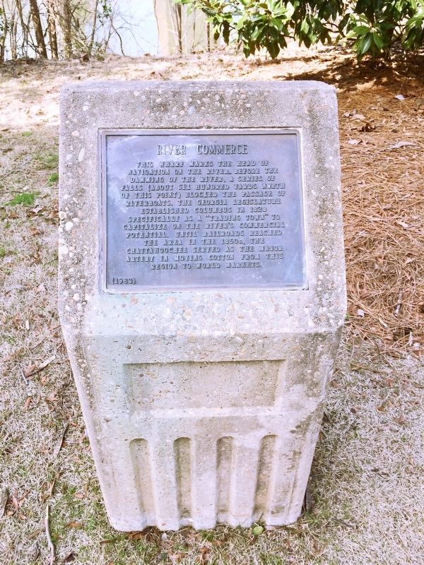
River Commerce
navigation on the river, before the
damming of the river. A series of
falls (about six hundred yards north
of this point) blocked the passage of
riverboats. The Georgia Legislature
established Columbus in 1828
specifically as a "trading town" to
capitalize on the river's commercial
potential. Until railroads reached
the area in the 1850s, the
Chattahoochee served as the major
artery in moving cotton from this
region to world markets.
Erected 1983.
Topics. This historical marker is listed in these topic lists: Industry & Commerce • Railroads & Streetcars • Settlements & Settlers • Waterways & Vessels. A significant historical year for this entry is 1828.
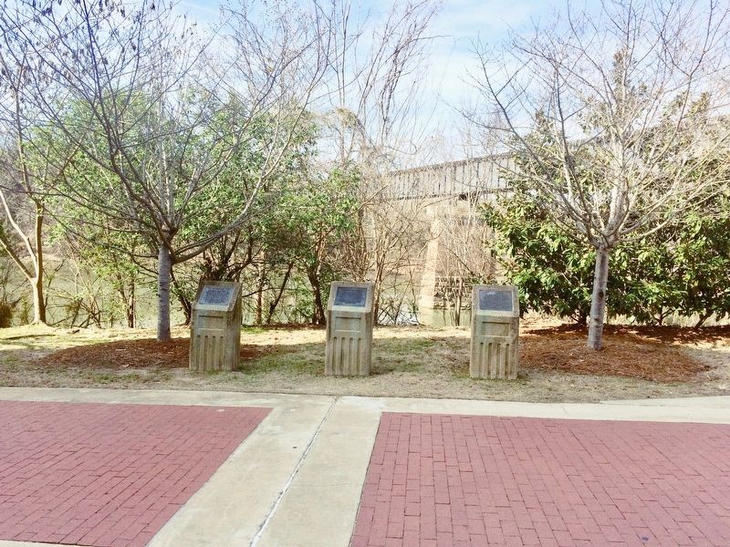
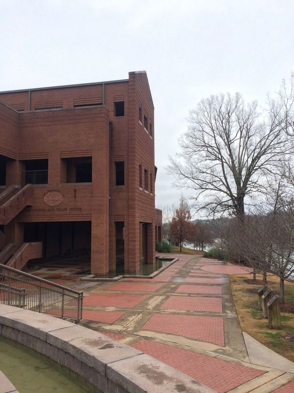
Location. 32° 27.726′ N, 84° 59.801′ W. Marker is in Columbus, Georgia, in Muscogee County. Marker can be reached from Bay Avenue south of West 9th Street. Located on the Chattahoochee Riverwalk behind the Columbus Convention & Trade Center (former location of the Columbus Iron Works). Touch for map. Marker is at or near this postal address: Bay Avenue, Columbus GA 31901, United States of America. Touch for directions.
Other nearby markers. At least 8 other markers are within walking distance of this marker. Columbus Iron Works (here, next to this marker); The Chattahoochee River (here, next to this marker); Horace King (about 500 feet away, measured in a direct line); Columbus Steamboat Wharf (about 500 feet away); a different marker also named Columbus Iron Works (about 500 feet away); Empire Mills (about 700 feet away); Military Service Walk (approx. 0.2 miles away); Garrett and Sons / Cargill-Wright Company (approx. 0.2 miles away). Touch for a list and map of all markers in Columbus.
Credits. This page was last revised on January 25, 2021. It was originally submitted on February 23, 2017, by Mark Hilton of Montgomery, Alabama. This page has been viewed 508 times since then and 11 times this year. Photos: 1, 2, 3. submitted on February 23, 2017, by Mark Hilton of Montgomery, Alabama. 4. submitted on February 1, 2018, by J. Makali Bruton of Accra, Ghana. 5. submitted on February 23, 2017, by Mark Hilton of Montgomery, Alabama.
