Rockville in Clarke County, Alabama — The American South (East South Central)
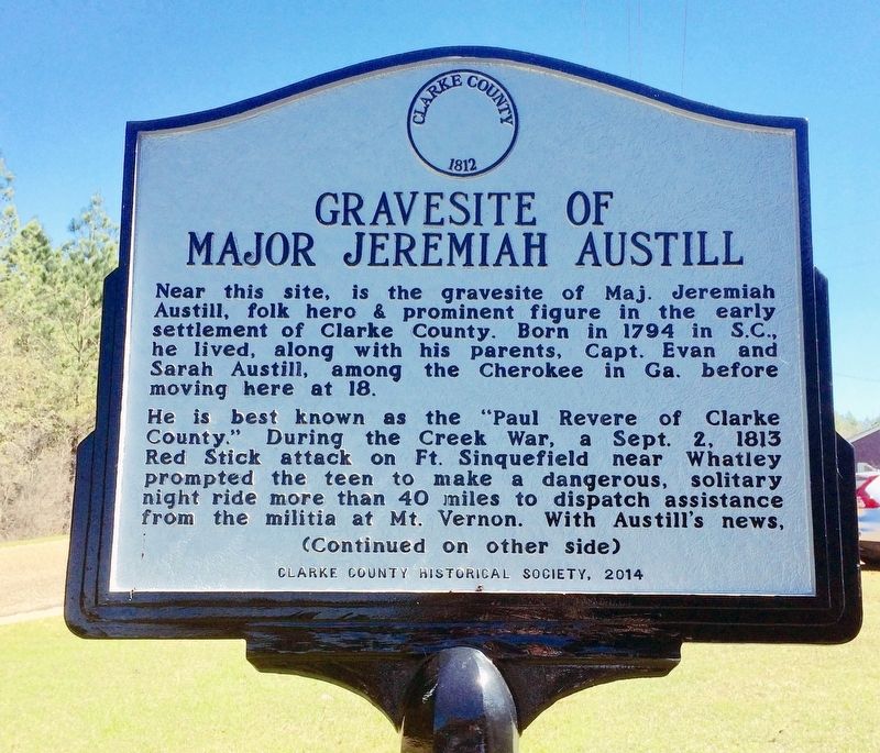
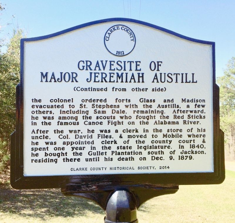
Gravesite of Major Jeremiah Austill
Inscription.
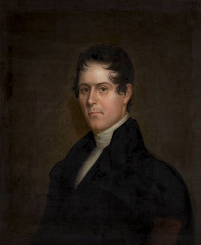
Near this site, is the gravesite of Maj. Jeremiah Austill, folk hero & prominent figure in the early settlement of Clarke County. Born in 1794 in S. C., he lived, along with his parents, Capt. Evan and Sara Austill, among the Cherokee in Ga. Before moving here at 18.
He is best known as the “Paul Revere of Clarke County.” During the Creek War, a Sept. 2, 1813 Red Stick attack on Ft. Sinquefield near Whatley prompted the teen to make a dangerous, solitary night ride more than 40 miles to dispatch assistance from the militia at Mt. Vernon. With Austill’s news, the colonel ordered forts Glass and Madison evacuated to St. Stephens with the Austills, a few others, including Sam Dale, remaining. Afterward, he was among the scouts who fought the Red Sticks in the famous Canoe Fight on the Alabama River.
After the war, he was clerk in the store of his uncle, Col. David Files & moved to Mobile where he was appointed clerk of the county court & spent one year in the state legislature. In 1840, he bought the Gullet Plantation south of Jackson, residing there until his death on Dec. 9, 1879.
Erected 2014 by Clarke County Historical Society.
Topics. This historical marker is listed in these topic lists: Cemeteries & Burial Sites • Forts and Castles • Native Americans • Wars, US Indian. A significant historical date for this entry is September 2, 1813.
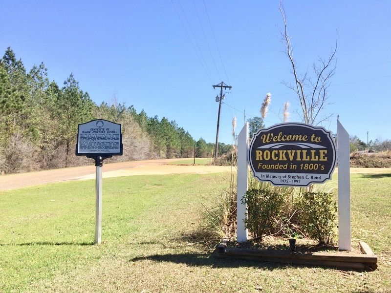
Location. 31° 25.417′ N, 87° 51.413′ W. Marker is in Rockville, Alabama, in Clarke County. Marker is at the intersection of Rockville Road (County Road 15) and Suel Road, on the right when traveling south on Rockville Road. Touch for map. Marker is at or near this postal address: Rockville Road, Jackson AL 36545, United States of America. Touch for directions.
Other nearby markers. At least 8 other markers are within 7 miles of this marker, measured as the crow flies. Central Salt Works (approx. 1˝ miles away); Bartram's Trail (approx. 2.9 miles away); Mt. Nebo Death Masks (approx. 5.4 miles away); The Clarke County War Memorial (approx. 6.2 miles away); City of Jackson (approx. 6.3 miles away); Jackson (approx. 6.3 miles away); CSA Brooke Cannon S-96 (approx. 6.3 miles away); First District Agricultural College and Experiment Station (approx. 6.6 miles away). Touch for a list and map of all markers in Rockville.
Related markers. Click here
for a list of markers that are related to this marker.
Also see . . .
1. Fort Sinquefield. Encyclopedia of Alabama website entry (Submitted on February 26, 2017, by Mark Hilton of Montgomery, Alabama.)
2. The Creek War of 1813 and 1814 - The Canoe Fight. Encyclopedia of Alabama website entry (Submitted on February 26, 2017, by Mark Hilton of Montgomery, Alabama.)
Credits. This page was last revised on December 18, 2021. It was originally submitted on February 26, 2017, by Mark Hilton of Montgomery, Alabama. This page has been viewed 538 times since then and 27 times this year. Photos: 1, 2, 3, 4. submitted on February 26, 2017, by Mark Hilton of Montgomery, Alabama.
Editor’s want-list for this marker. Photo of Jeremiah Austill's grave marker, located about 1.2 miles southeast of this marker, at coordinates 31.415496, -87.870222 • Can you help?


