Jackson in Clarke County, Alabama — The American South (East South Central)
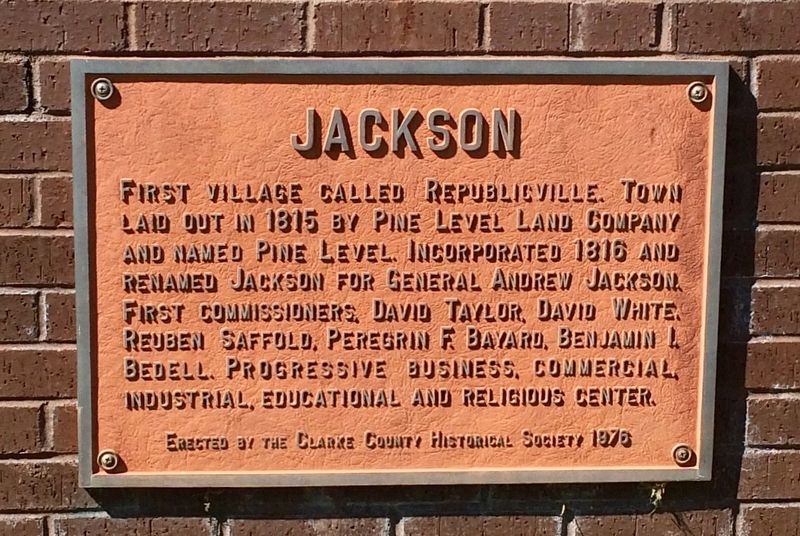
Jackson
Erected 1976 by the Clarke County Historical Society.
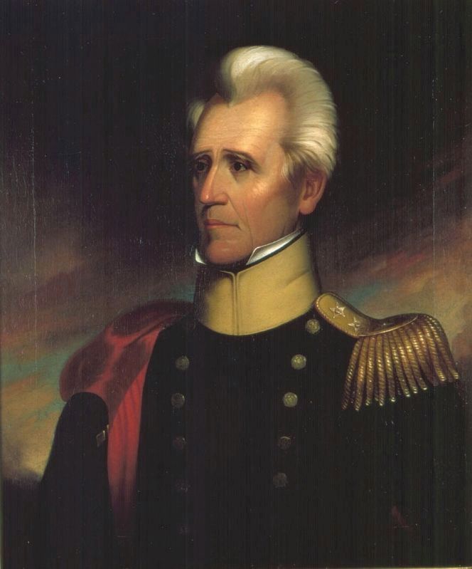
Topics and series. This historical marker is listed in these topic lists: Industry & Commerce • Settlements & Settlers. In addition, it is included in the Former U.S. Presidents: #07 Andrew Jackson series list. A significant historical year for this entry is 1815.
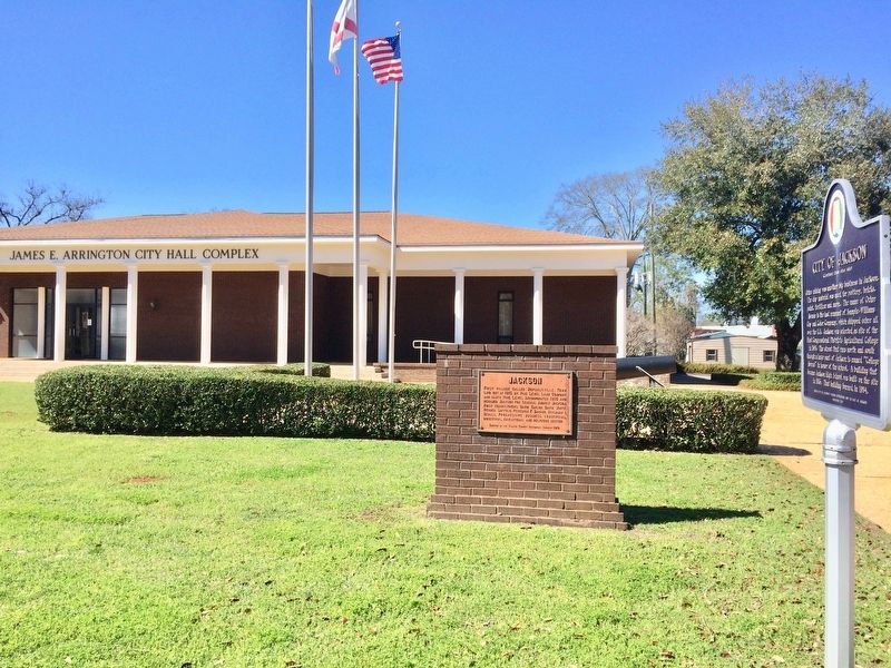
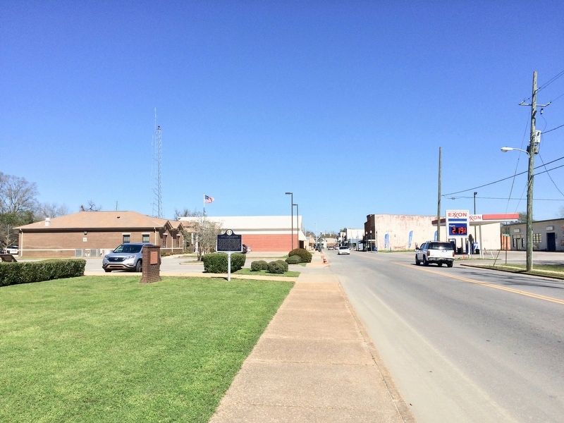
Location. 31° 30.466′ N, 87° 53.755′ W. Marker is in Jackson, Alabama, in Clarke County. Marker is at the intersection of Commerce Street (Alabama Route 177) and Magnolia Drive, on the right when traveling west on Commerce Street. Located in front of the James E. Arrington City Hall Complex. Touch for map. Marker is at or near this postal address: 350 Commerce Street, Jackson AL 36545, United States of America. Touch for directions.
Other nearby markers. At least 8 other markers are within 5 miles of this marker, measured as the crow flies. City of Jackson (here, next to this marker); CSA Brooke Cannon S-96 (here, next to this marker); The Clarke County War Memorial (within shouting distance of this marker); First District Agricultural College and Experiment Station (approx. 0.4 miles away); Kimbell House (approx. 1˝ miles away); Jackson Prisoner of War Camp (approx. 1.7 miles away); The Taylor House (approx. 3.6 miles away); Central Salt Works (approx. 4.8 miles away). Touch for a list and map of all markers in Jackson.
Also see . . . Encyclopedia of Alabama article on Jackson, Alabama. (Submitted on February 26, 2017, by Mark Hilton of Montgomery, Alabama.)
Credits. This page was last revised on July 25, 2018. It was originally submitted on February 26, 2017, by Mark Hilton of Montgomery, Alabama. This page has been viewed 423 times since then and 31 times this year. Photos: 1, 2, 3, 4. submitted on February 26, 2017, by Mark Hilton of Montgomery, Alabama.


