Ormond Beach in Volusia County, Florida — The American South (South Atlantic)
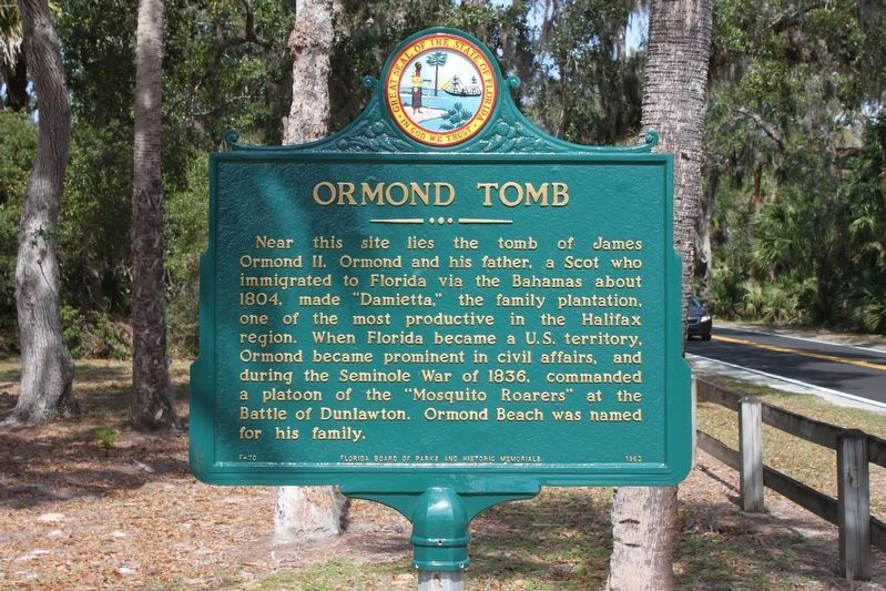
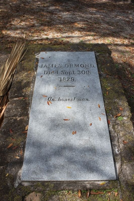
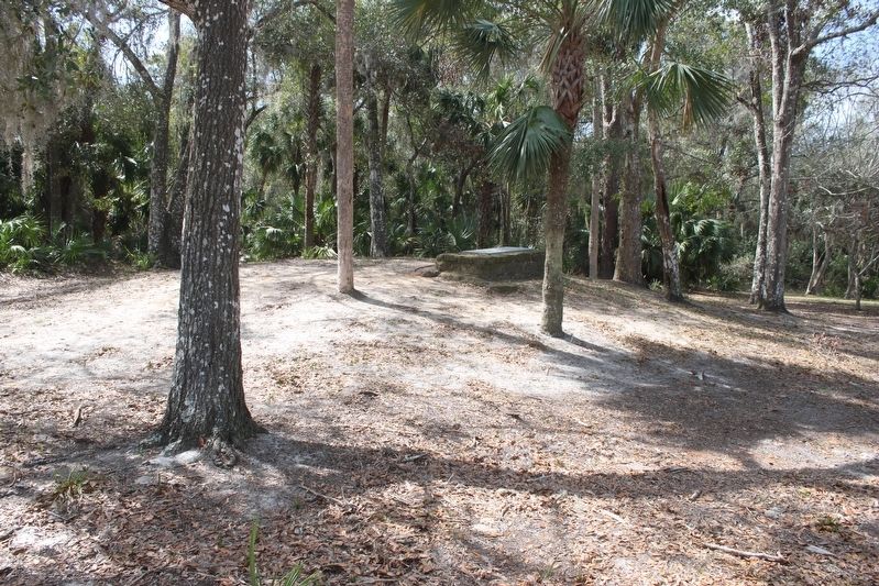
Ormond Tomb
Erected 1962 by Florida Board of Parks and Historic Memorials. (Marker Number F-70.)
Topics. This historical marker is listed in these topic lists: Cemeteries & Burial Sites • Settlements & Settlers • Wars, US Indian. A significant historical year for this entry is 1804.
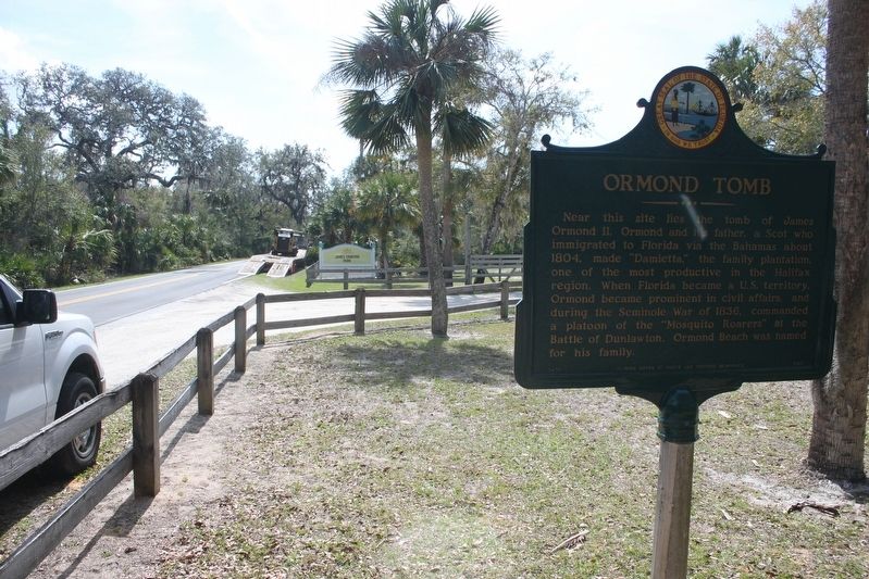
Location. 29° 23.142′ N, 81° 7.906′ W. Marker is in Ormond Beach, Florida, in Volusia County. Marker is at the intersection of Old Dixie Highway and Jones Island Road, on the left when traveling north on Old Dixie Highway. Marker is in James Ormond Park. Touch for map. Marker is at or near this postal address: 3268 Old Dixie Highway, Ormond Beach FL 32174, United States of America. Touch for directions.
Other nearby markers. At least 8 other markers are within 4 miles of this marker, measured as the crow flies. Dummitt Plantation Mill Ruins (approx. 2.6 miles away); Tomoka Point (approx. 3.3 miles away); Mount Oswald Plantation (approx. 3.3 miles away); The Timucua (approx. 3.3 miles away); "Old Beach Road" (approx. 3.3 miles away); Nocoroco (approx. 3.3 miles away); Boat Slips (approx. 3.4 miles away); Bulow Ville Plantation House (approx. 3.4 miles away). Touch for a list and map of all markers in Ormond Beach.
Credits. This page was last revised on March 2, 2017. It was originally submitted on February 28, 2017, by Tim Fillmon of Webster, Florida. This page has been viewed 774 times since then and 81 times this year. Photos: 1, 2, 3, 4. submitted on March 1, 2017, by Tim Fillmon of Webster, Florida. • Bernard Fisher was the editor who published this page.


