Erath in Vermilion Parish, Louisiana — The American South (West South Central)
The Erath Sugar Company
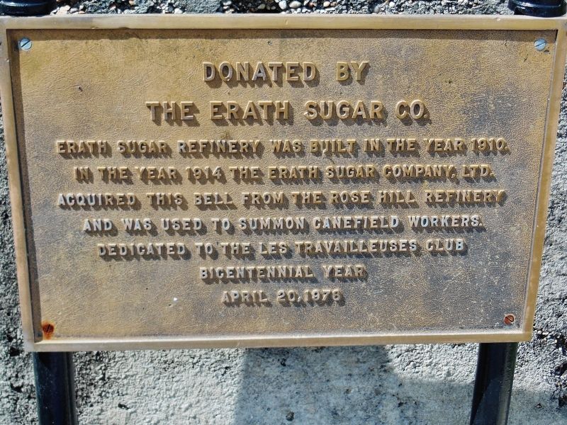
The Erath Sugar Co.
Erath Sugar Refinery was built in the year 1910.
In the year 1914 the Earth Sugar Company, LTD.
acquired this bell from the Rose Hill refinery
and was used to summon canefield workers.
Dedicated to the Les Travailleuses Club
Bicentennial Year
April 20, 1978
Erected 1978 by Erath Sugar Company.
Topics. This historical marker is listed in these topic lists: Agriculture • Industry & Commerce. A significant historical year for this entry is 1910.
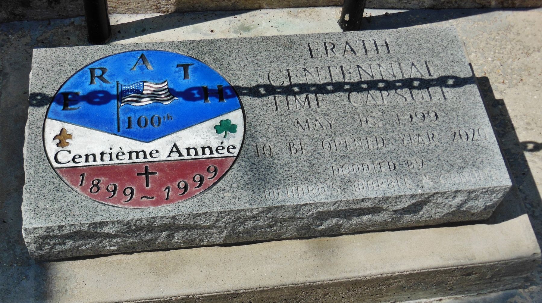
Location. 29° 57.452′ N, 92° 2.13′ W. Marker is in Erath, Louisiana, in Vermilion Parish. Marker is on West Edward Street, 0.1 miles east of South Kibbe Street, on the right when traveling east. Marker is part of centennial display in front of the Erath Post Office and City Hall complex. Touch for map. Marker is at or near this postal address: 115 West Edward Street, Erath LA 70533, United States of America. Touch for directions.
Other nearby markers. At least 8 other markers are within 4 miles of this marker, measured as the crow flies. Private Farrell J. Vice (about 300 feet away, measured in a direct line); First Lt. Brandon R. Dronet (about 300 feet away); The 1964 Fall of the Erath Water Tower (about 300 feet away); Acadian Prairie Settlement (approx. one mile away); Bayou Carlin Cove (approx. 3.4 miles away); Lake Peigneur (approx. 3.8 miles away); Dedicated to the Memory of Joseph Jefferson (approx. 3.9 miles away); Jefferson Island (approx. 4 miles away). Touch for a list and map of all markers in Erath.
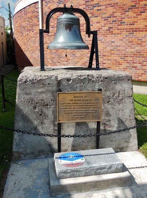
More about this marker. The marker refers to Erath Sugar Company and the iron bell displayed on a brick pedestal behind the marker.
Also see . . . Erath Sugar Company.
At Erath, they erected for the 1910 grinding a large new factory with a cane-grinding capacity exceeding that of most other mills in the state. Knowledgeable entrepreneurs in the sugar cane industry regarded the Erath mill as one of the most modern plants in the sugar district, a large factory supplied by more than 1,200 outside growers, the company itself owning only 1,000 acres of land. (Submitted on March 1, 2017, by Cosmos Mariner of Cape Canaveral, Florida.)
Credits. This page was last revised on October 29, 2020. It was originally submitted on March 1, 2017, by Cosmos Mariner of Cape Canaveral, Florida. This page has been viewed 704 times since then and 84 times this year. Photos: 1, 2, 3. submitted on March 1, 2017, by Cosmos Mariner of Cape Canaveral, Florida. • Bernard Fisher was the editor who published this page.


