Near Palm Coast in Flagler County, Florida — The American South (South Atlantic)
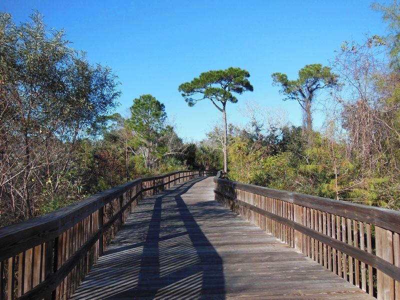
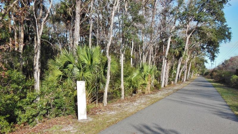
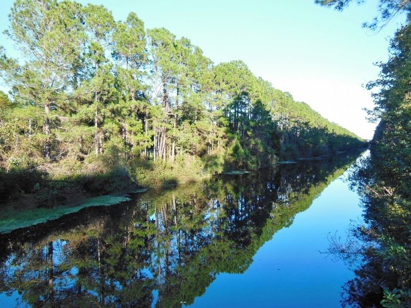
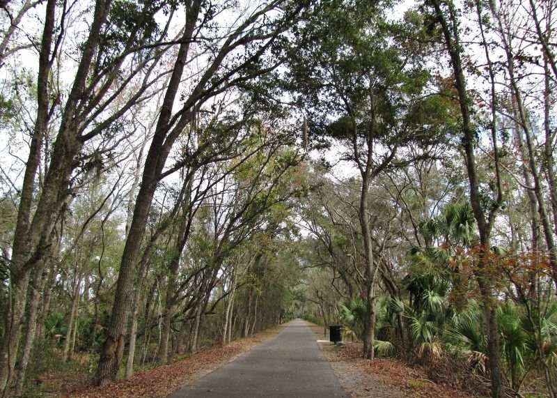
Lehigh Trail
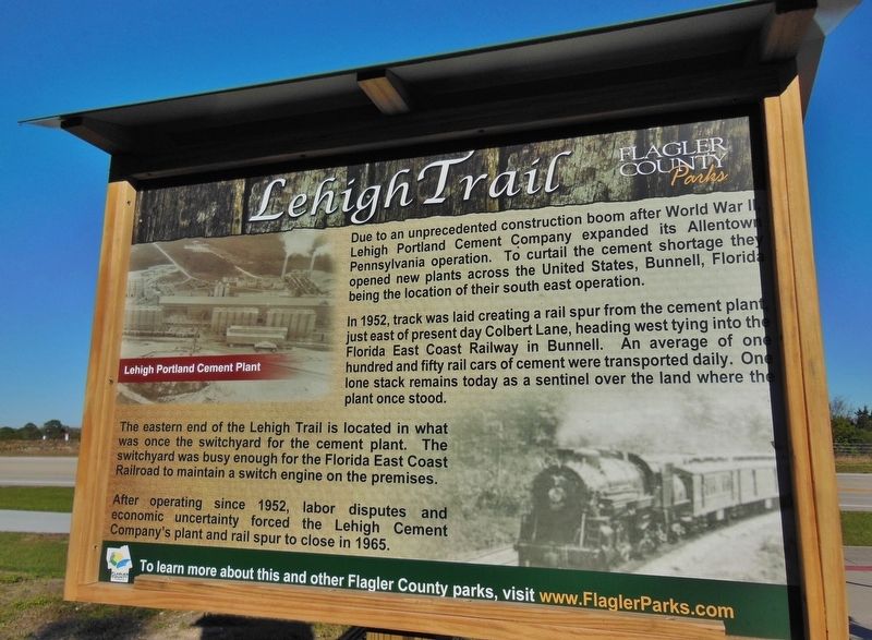
Due to an unprecedented construction boom after World War II, Lehigh Portland Cement Company expanded its Allentown, Pennsylvania operation. To curtail the cement shortage they opened new plants across the United States, Bunnell, Florida being the location of their south east operation.
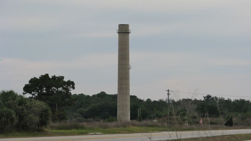
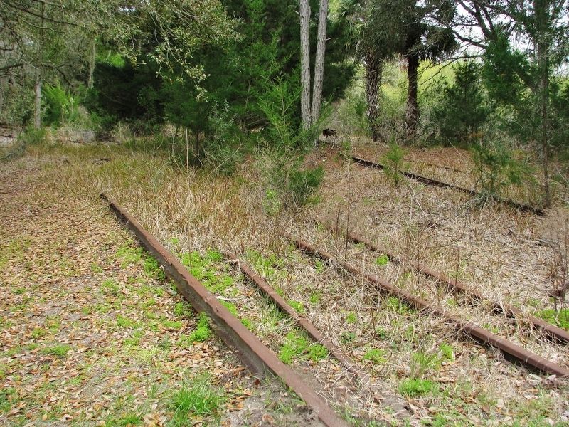
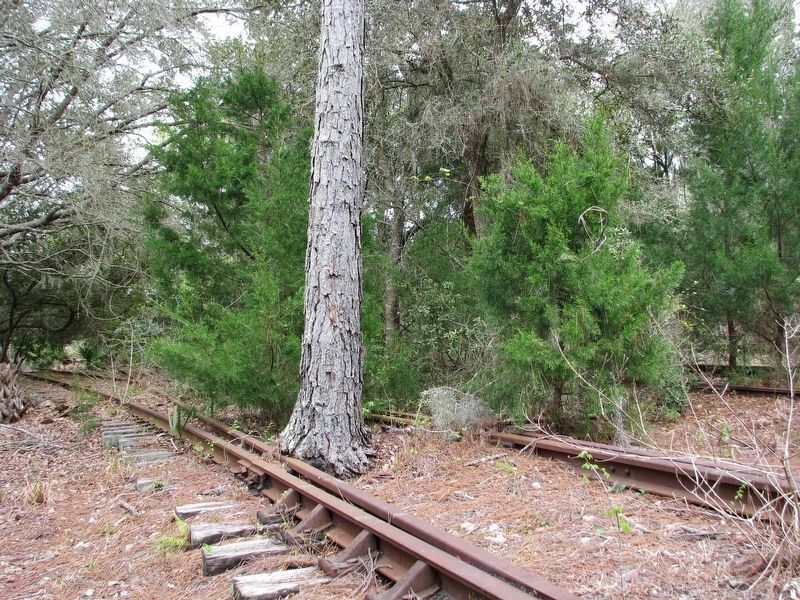
In 1952, track was laid creating a rail spur from the cement plant just east of present day Colbert Lane, heading west tying into the Florida East Coast Railway in Bunnell. An average of one hundred and fifty rail cars of cement were transported daily. One lone stack remains today as a sentinel over the land where the plant once stood.
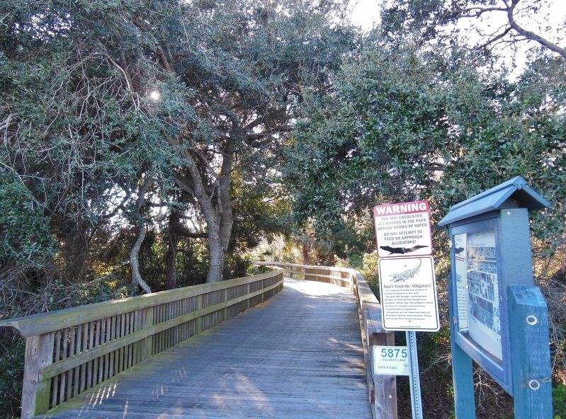
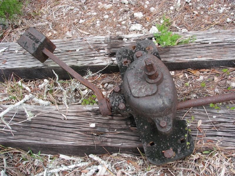
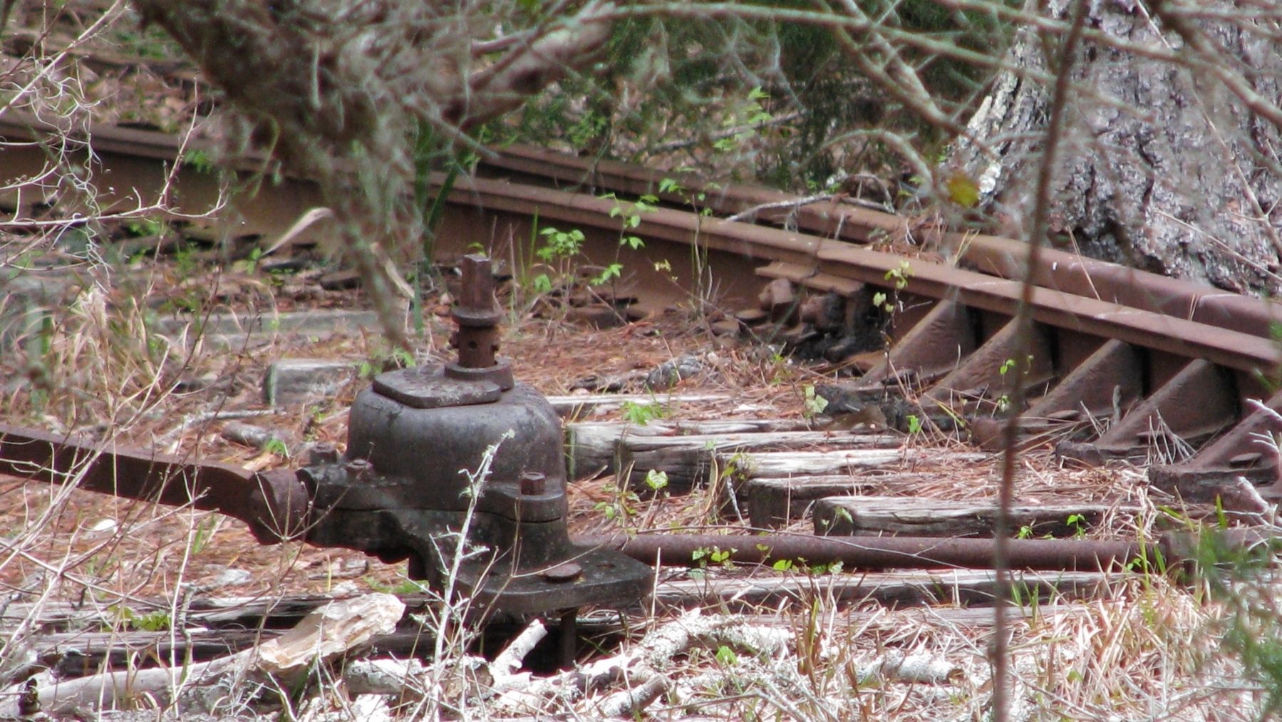
The eastern end of the Lehigh Trail is located in what was once the switchyard for the cement plant. The switchyard was busy enough for the Florida East Coast Railroad to maintain a switch engine on the premises.
After operating since 1952, labor disputes and economic uncertainty forced the Lehigh Cement Company’s plant and rail spur to close in 1965.
Erected by Flagler County Parks.
Topics. This historical marker is listed in these topic lists: Industry & Commerce • Railroads & Streetcars • Roads & Vehicles • Settlements & Settlers. A significant historical year for this entry is 1952.
Location. 29° 29.955′ N, 81° 9.483′ W. Marker is near Palm Coast, Florida, in Flagler County. Marker is on Colbert Lane south of Harbor View Drive (Road 100), on the left when traveling north. Marker is located at the trailhead in the southeast corner of the Graham Swamp Conservation Area. Touch for map. Marker is at or near this postal address: 5875 Colbert Lane, Palm Coast FL 32137, United States of America. Touch for directions.
Other nearby markers. At least 8 other markers are within 5 miles of this marker, measured as the crow flies. A different marker also named Lehigh Trail (approx. 0.2 miles away); Veterans Memorial (approx. 2.2 miles away); Veterans Memorial Park (approx. 2.2 miles away); "Claude" (approx. 2˝ miles away); Operation Desert Storm (approx. 3˝ miles away); Flight Of Life Sculpture #7 (approx. 4.3 miles away); Intracoastal Waterway (approx. 4.3 miles away); Driven by Sweat & Steam (approx. 4˝ miles away). Touch for a list and map of all markers in Palm Coast.
Also see . . .
1. Lehigh Greenway Rail Trail. TrailLink website entry:
The railroad spur once carried cement and other materials to and from the Lehigh Portland Cement Plant in Flagler Beach. The trail connects US 1 north of Bunnell with Colbert Lane, running through the center of Palm Coast, through Graham Swamp and ending just west of the old Lehigh Portland Cement Company. (Submitted on March 1, 2017, by Cosmos Mariner of Cape Canaveral, Florida.)
2. "Lehigh Portland Cement plant included railroad spur". Daytona Beach News-Journal Online website entry:
During the Florida building boom, Lehigh Portland Cement Company built a cement plant at Flagler Beach, according to a report on Flagler County's website. Construction of the plant cost $20 million, and opened for production in 1952. The Lehigh Railroad spur was built to transport the finished product to market and to bring supplies to the plant, the report states. (Submitted on March 1, 2017, by Cosmos Mariner of Cape Canaveral, Florida.)
Credits. This page was last revised on May 14, 2021. It was originally submitted on March 1, 2017, by Cosmos Mariner of Cape Canaveral, Florida. This page has been viewed 892 times since then and 69 times this year. Photos: 1, 2, 3, 4, 5, 6. submitted on March 1, 2017, by Cosmos Mariner of Cape Canaveral, Florida. 7, 8, 9. submitted on March 2, 2017, by Cosmos Mariner of Cape Canaveral, Florida. 10, 11, 12. submitted on March 3, 2017, by Cosmos Mariner of Cape Canaveral, Florida. • Bernard Fisher was the editor who published this page.
