Covington in Kenton County, Kentucky — The American South (East South Central)
First City Hall
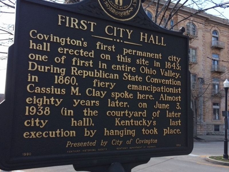
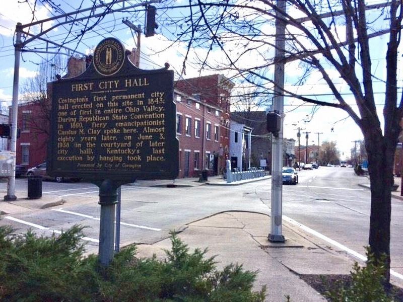
Covington's first permanent city hall erected on this site in 1843: one of first in entire Ohio Valley. During Republican State Convention in 1860, fiery emancipationist Cassius M. Clay spoke here. Almost eighty years later, on June 3, 1938 (in the courtyard of later city hall), Kentucky's last execution by hanging took place.
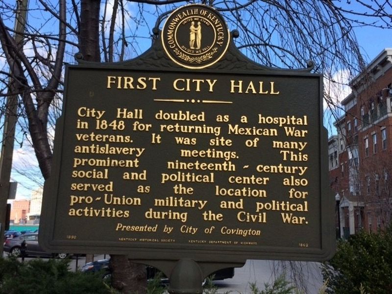
City Hall doubled as a hospital in 1848 for returning Mexican War veterans. It was site of many antislavery meetings. This prominent nineteenth-century social and political center also served as the location for pro-Union military and political activities during the Civil War.
Erected 1990 by Kentucky Historical Society; Kentucky Department of Highways. (Marker Number 1862.)
Topics and series. This historical marker is listed in these topic lists: Abolition & Underground RR • Charity & Public Work • Government & Politics • War, US Civil. In addition, it is included in the Kentucky Historical Society series list.
Location. 39° 5.33′ N, 84° 30.491′ W. Marker is in Covington, Kentucky, in Kenton County. Marker is at the intersection of Roebling Way (Kentucky Route 17) and Greenup Street, on the right when traveling north on Roebling Way. Touch for map. Marker is in this post office area: Covington KY 41011, United States of America. Touch for directions.
Other nearby markers. At least 8 other markers are within walking distance of this marker. John W. Stevenson Home (within shouting distance of this marker); Covington Blue Sox (about 500 feet away, measured in a direct line); Mary Florence Taney (about 500 feet away); John A. Roebling Bridge (about 600 feet away); Senator Richard P. Ernst / Ernst Mansion (about 700 feet away); Daniel Carter Beard (about 700 feet away); a different marker also named Daniel Carter Beard (about 700 feet away); Roebling Suspension Bridge (about 800 feet away). Touch for a list and map of all markers in Covington.
Credits. This page was last revised on December 8, 2021. It was originally submitted on March 7, 2017, by Michael Baker of Lima, Ohio. This page has been viewed 445 times since then and 27 times this year. Photos: 1, 2. submitted on March 7, 2017, by Michael Baker of Lima, Ohio. 3. submitted on December 8, 2021, by Craig Baker of Sylmar, California. • Bernard Fisher was the editor who published this page.


