Fort Mitchell in Russell County, Alabama — The American South (East South Central)
Fort Mitchell and Creek Removal
— Creek Heritage Trail —
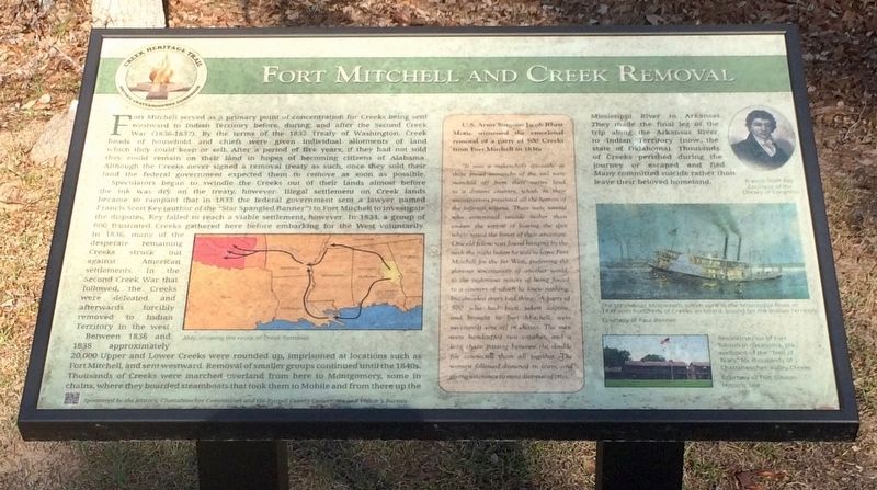
Fort Mitchell served as a primary point of concentration for creeks being sent westward to Indian Territory before, during, and after the Second Creek War (1836-1837). By the terms of the 1832 Treaty of Washington, Creek heads of household and chiefs were given individual allotments of land which they could keep or sell. After a period of five years, if they had not sold they could remain on their land in hopes of becoming citizens of Alabama. Although the Creeks never signed a removal treaty as such, once they sold their land the federal government expected them to remove as soon as possible.
Speculators began to swindle the Creeks out of their lands almost before the ink was dry on the treaty, however. Illegal settlement on Creek lands became so rampant that in 1833 the federal government sent a lawyer named Francis Scott Key (author of the "Star Spangled Banner") to Fort Mitchell to investigate the disputes. Key failed to reach a viable settlement, however. In 1834, a group of 600 frustrated Creeks gathered here before embarking for the West voluntarily. In 1836, many of the desperate remaining Creeks struck out against American settlements. In the Second Creek War that followed, the Creeks were defeated and afterwards for removed to Indian Territory in the west.
Between 1836 and 1838 approximately 20,000 Upper and Lower Creeks were rounded up, imprisoned at locations such as Fort Mitchell, and sent westward. Removal of smaller groups continued until the 1840s. Thousands of Creek were marched overland from here to Montgomery, some in chains, where they boarded steamboats that took them to Mobile and from there up the Mississippi River to Arkansas. They made the final leg of the trip along the Arkansas River to indian Territory (now the state of Oklahoma). Thousands of Creeks perished during the journey or escaped and fled. Many committed suicide rather than leave their beloved homeland.
[Insert - First hand account]
U.S. Army Surgeon Jacob Rhett Motte witnessed the emotional removal of a party of 500 Creeks from Fort Mitchell in 1836:
"It was a melancholy spectacle as these proud monarchs of the soil were marched off from their native land to a distant country, which to their anticipations presented all the horrors of the infernal regions. There were several who committed suicide rather than endure the sorrow of leaving the spot where rested the bones of their ancestors. One old fellow was found hanging by the neck the might before he was to leave Fort Mitchell for the far West, prefering the glorious uncertainty of another world, to the inglorious misery of being forced to a country of which he knew nothing, but dreaded every bad thing... A party of 500 who had been taken captive, and brought to Fort Mitchell, were necessarily sent off in chains. The men were handcuffed two together, and a long chain passing between the double file connected them all together. The women followed drowned in tears, and giving titterance to most distressing cries."
[Photo Captions]
{Left side Map}: Map showing the route of Creek Removal
{Top right}: Francis Scott Key
Courtesy of the Library of Congress
{Middle right}: The steamboat Monmouth, which sank in the Mississippi River in 1837 with hundreds of Creeks on board, bound for the Indian Territory.
Courtesy of Paul Bender
{Bottom right}: Reconstruction of Fort Gibson in Oklahoma, the endpoint of the "Trail of Tears" for thousands of Chattahoochee Valley Creeks
Courtesy of Fort Gibson Historic Site
Erected 2014 by the Historic Chattahoochee Commission and the Russell County Convention and Visitor’s Bureau.
Topics. This historical marker is listed in these topic lists: Native Americans • Notable Events • Waterways & Vessels. A significant historical year for this entry is 1832.
Location. 32° 20.65′ N, 85° 1.27′ W. Marker is in Fort Mitchell, Alabama, in Russell County. Marker can be reached from County Highway 165, 2.3 miles
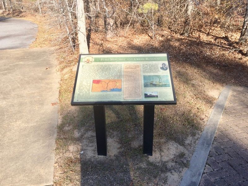
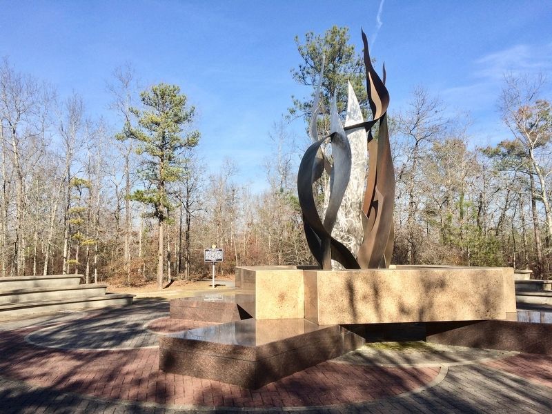
south of Nuckols Road (Road 39). Marker is located to the back side of the Chattahoochee Indian Heritage Center Monument adjacent to Fort Mitchell National Historic Landmark Site. Touch for map. Marker is at or near this postal address: 561 Highway 165, Fort Mitchell AL 36856, United States of America. Touch for directions.
Other nearby markers. At least 8 other markers are within walking distance of this marker. The Census of 1832 (a few steps from this marker); Indian Ball Ground (a few steps from this marker); J.W. and Ethel I. Woodruff Foundation Interpretive Trail (a few steps from this marker); The Creek Nation / The Chattahoochee Indian Heritage Center (a few steps from this marker); Cultural Exchange and Cooperation (a few steps from this marker); Pokkecheta, or the Ball Play (within shouting distance of this marker); Archaeology And Our Understanding of the Creek People (within shouting distance of this marker); Creek Towns (within shouting distance of this marker). Touch for a list and map of all markers in Fort Mitchell.
Also see . . .
1. The story of the sinking of the Monmouth by Cecil Meares. Creek Indian Records FreeRoots entry (Submitted on March 8, 2017, by Mark Hilton of Montgomery, Alabama.)
2. Three accounts of the drowning of 400 Creeks by the boat owner. Indians of the Pass website entry (Submitted on March 8, 2017, by Mark Hilton of Montgomery, Alabama.)
Credits. This page was last revised on February 21, 2022. It was originally submitted on March 8, 2017, by Mark Hilton of Montgomery, Alabama. This page has been viewed 589 times since then and 50 times this year. Photos: 1, 2, 3, 4. submitted on March 8, 2017, by Mark Hilton of Montgomery, Alabama.


