Gaithersburg in Montgomery County, Maryland — The American Northeast (Mid-Atlantic)
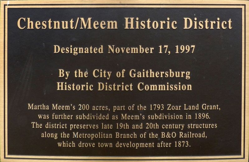
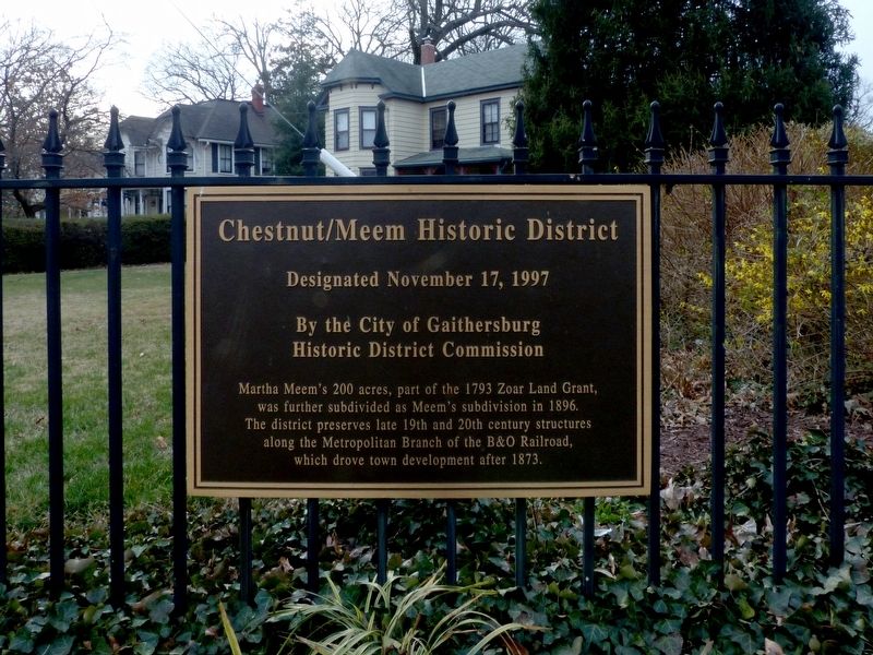
Chestnut/Meem Historic District
Designated November 17, 1997
— By the City of Gaithersburg Historic District Commission —
Topics and series. This historical marker is listed in these topic lists: Architecture • Notable Places. In addition, it is included in the Baltimore and Ohio Railroad (B&O) series list. A significant historical year for this entry is 1793.
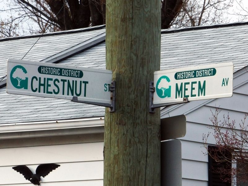
Location. 39° 8.498′ N, 77° 12.229′ W. Marker is in Gaithersburg, Maryland, in Montgomery County. Marker is at the intersection of Chestnut Street and Meem Avenue, on the right when traveling south on Chestnut Street. Touch for map. Marker is at or near this postal address: 101 Meem Avenue, Gaithersburg MD 20877, United States of America. Touch for directions.
Other nearby markers. At least 8 other markers are within walking distance of this marker. The Thomas Cannery (about 700 feet away, measured in a direct line); Brookes, Russell and Walker Historic District (approx. 0.4 miles away); The Chandler Wobble (approx. 0.4 miles away); The Gaithersburg Wye (approx. 0.4 miles away); The Observatory (approx. 0.4 miles away); A Night at the Gaithersburg Latitude Observatory (approx. 0.4 miles away); History and Purpose of the Gaithersburg Latitude Observatory (approx. half a mile away); Meridian Mark Pier and Geodetic Survey Monuments (approx. half a mile away). Touch for a list and map of all markers in Gaithersburg.
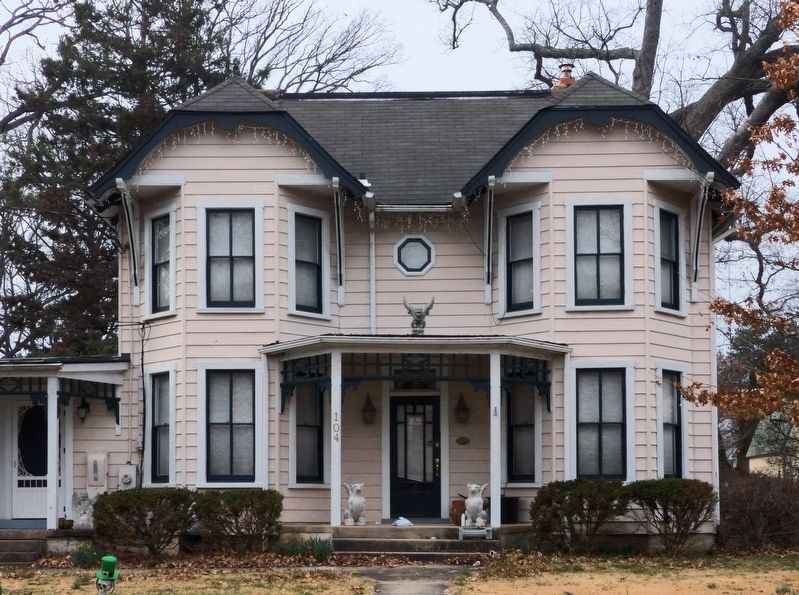
Regarding Chestnut/Meem Historic District. “This area is a visual timeline as it illustrates different development periods over an eighty-year period. Meem’s Addition was platted in 1896, but the origins of Chestnut Street began in 1873 following the railroad. Chestnut Street was originally a dirt road connecting Frederick Avenue to what is now W. Diamond Avenue. During this early period Victorian styled homes were constructed on large lots. Around 1891, the City’s early telephone poles were erected in this area. The turn of the century brought residential electricity and the nearby Thomas Cannery. In response to these changes, a small number of additional homes in the four-square/ craftsman bungalow style were being built on subdivided lots. A great number of these original structures, built between 1870 and 1930, remain today. This district, overall, remained sparsely developed until the 1950s when the initial large lots were again further subdivided into smaller lots. Post-war ramblers and bungalows, shaded by the original Victorian-era oak trees, came to Meem’s Addition. All of the various development periods may be viewed in the space of one block, giving this district its unique importance to the City of Gaithersburg. In response, the City of Gaithersburg designated this neighborhood as a historic district in 1998.” — City of Gaithersburg Historic Preservation 2003 Master Plan.
Also see . . . Meem's Addition to Gaithersburg. Maryland Historic Trust Inventory Form, Historic Sites Survey. (Submitted on March 9, 2017, by Allen C. Browne of Silver Spring, Maryland.)
Credits. This page was last revised on September 22, 2019. It was originally submitted on March 9, 2017, by Allen C. Browne of Silver Spring, Maryland. This page has been viewed 423 times since then and 35 times this year. Photos: 1, 2, 3, 4, 5. submitted on March 9, 2017, by Allen C. Browne of Silver Spring, Maryland. • Bill Pfingsten was the editor who published this page.
