Sun River in Cascade County, Montana — The American West (Mountains)
Sun River Crossing
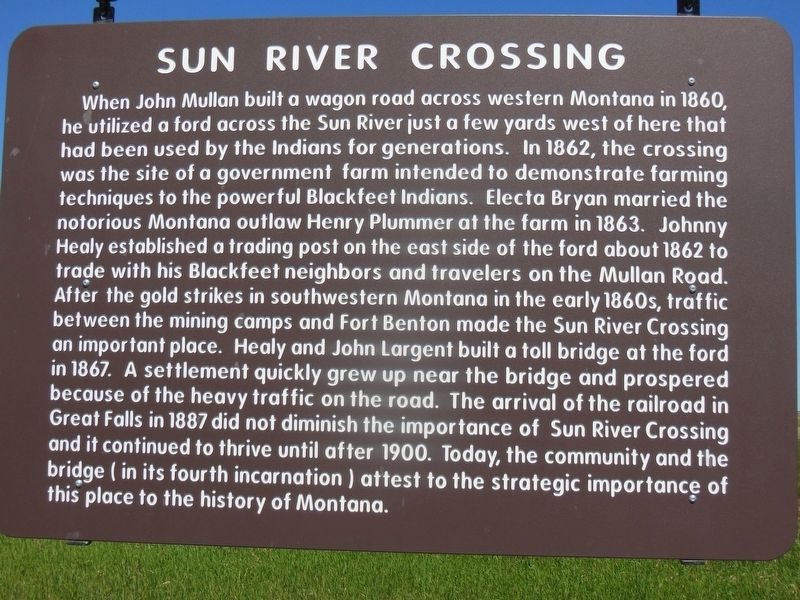
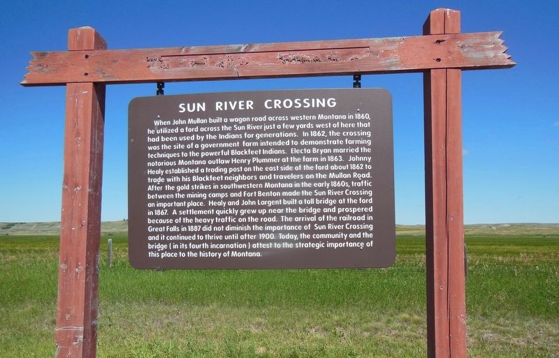
When John Mullan built a wagon road across western Montana in 1860, he utilized a ford across the Sun River just a few yards west of here that had been used by the Indians for generations. In 1862, the crossing was the site of a government farm intended to demonstrate farming techniques to the powerful Blackfeet Indians. Electa Bryan married the notorious Montana outlaw Henry Plummer at the farm in 1863. Johnny Healy established a trading post on the east side of the ford about 1862 to trade with his Blackfeet neighbors and travelers on the Mullan Road. After the gold strikes in southwestern Montana in the early 1860’s, traffic between the mining camps and Fort Benton made the Sun River Crossing an important place. Healy and John Largent built a toll bridge at the ford in 1867. A settlement quickly grew up near the bridge and prospered because of the heavy traffic on the road. The arrival of the railroad in Great Falls in 1887 did not diminish the importance of Sun River Crossing and it continued to thrive until after 1900. Today, the community and the bridge (in its fourth incarnation) attest to the strategic importance of this place to the history of Montana.
Topics. This historical marker is listed in these topic lists: Bridges & Viaducts • Native Americans • Roads & Vehicles • Settlements & Settlers.
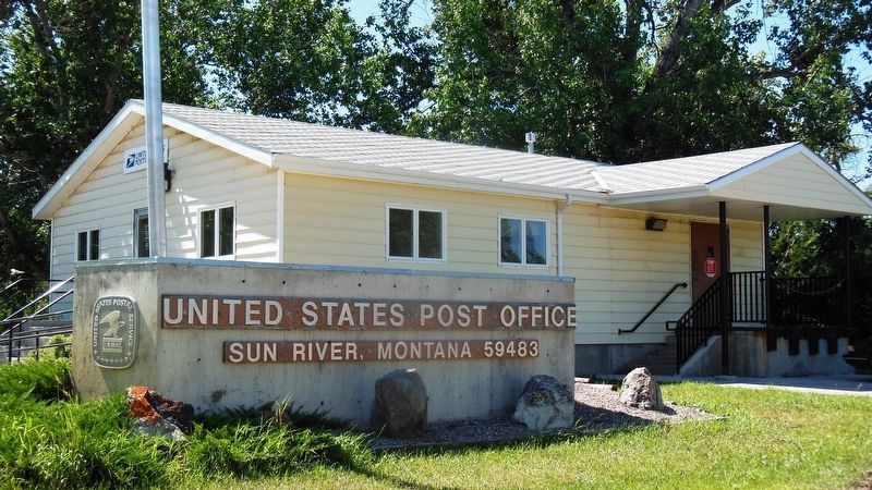
Location. 47° 32.255′ N, 111° 42.847′ W. Marker is in Sun River, Montana, in Cascade County. Marker is at the intersection of State Highway 200 and Choteau Street, on the right when traveling west on State Highway 200. Marker is located in a pullout on the north side of Montana Highway 200, just east of the bridge over Sun River and the town. Touch for map. Marker is in this post office area: Sun River MT 59483, United States of America. Touch for directions.
Other nearby markers. At least 7 other markers are within 8 miles of this marker, measured as the crow flies. Undisputed Champions (approx. 5.3 miles away); Fort Shaw Government Industrial Indian School (approx. 5.3 miles away); Fort Shaw (approx. 5.3 miles away); Commanding Officer's Quarters (approx. 5.4 miles away); a different marker also named Fort Shaw (approx. 5˝ miles away); The Sun River Leaving (approx. 6.8 miles away); Robert Vaughn Homestead/The Captain Couch Ranch (approx. 7˝ miles away).
More about this marker. Marker is a plastic laminate placard hanging on a wooden frame.
Also see . . .
1. The Mullan Road: A Real Northwest Passage. History Link website entry:
In the spring of 1859, after five years of study and survey, the U.S. War Department appropriated funds for the construction of a military wagon road between Fort Walla Walla in Washington Territory and Fort Benton on the Missouri River. Lieutenant John Mullan (1830-1909) of the U.S. Army was assigned to get the job done. With the labor of 200 hired men and soldiers, and more than two years of toil, Mullan blazed a 611-mile trail through dense forests, over mountains, and across marshlands and raging rivers. When completed in 1862, the Mullan Military Road became the first wagon road to traverse the Rocky Mountains into the inland Northwest, and Mullan was rewarded with promotion to the rank of captain. (Submitted on March 10, 2017, by Cosmos Mariner of Cape Canaveral, Florida.)
2. Sun River, Montana. Central Montana website entry:
Sun River, the town, is one of the oldest settlements in Montana. For years it served as a crossing point for stages and pack trains heading from Fort Benton to the gold fields of western Montana. (Submitted on March 10, 2017, by Cosmos Mariner of Cape Canaveral, Florida.)
Credits. This page was last revised on November 29, 2022. It was originally submitted on March 10, 2017, by Cosmos Mariner of Cape Canaveral, Florida. This page has been viewed 1,250 times since then and 92 times this year. Photos: 1, 2, 3, 4, 5. submitted on March 10, 2017, by Cosmos Mariner of Cape Canaveral, Florida. 6. submitted on November 29, 2022, by Cosmos Mariner of Cape Canaveral, Florida. • Bill Pfingsten was the editor who published this page.
