Heritage Crossing in Baltimore, Maryland — The American Northeast (Mid-Atlantic)
Perkins Square Gazebo
National Register of Historic Places
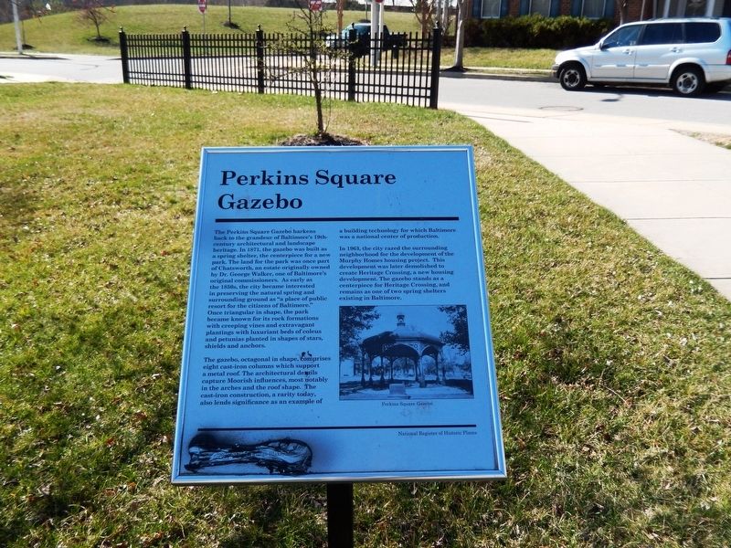
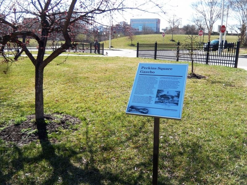
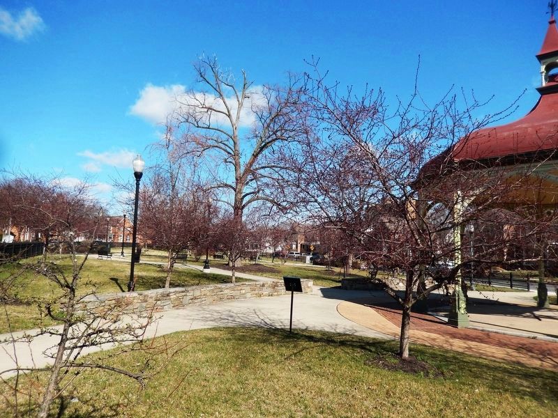
The Perkins Square Gazebo harkens back to the grandeur of Baltimore’s 19th century architectural and landscape heritage. In 1871, the gazebo was built as a spring shelter, the centerpiece for a new park. The land for the park was once part of Chatsworth, an estate originally owned by Dr. George Walker, one of Baltimore’s original commissioners. As early as the 1850s, the city became interested in preserving the natural spring and surrounding grounds as “a place of public resort for the citizens of Baltimore.” Once triangular in shape the park became known for its rock formations with creeping vines and extravagant plantings with luxuriant beds of coleus and petunias planted in shapes of stars, shields and anchors.
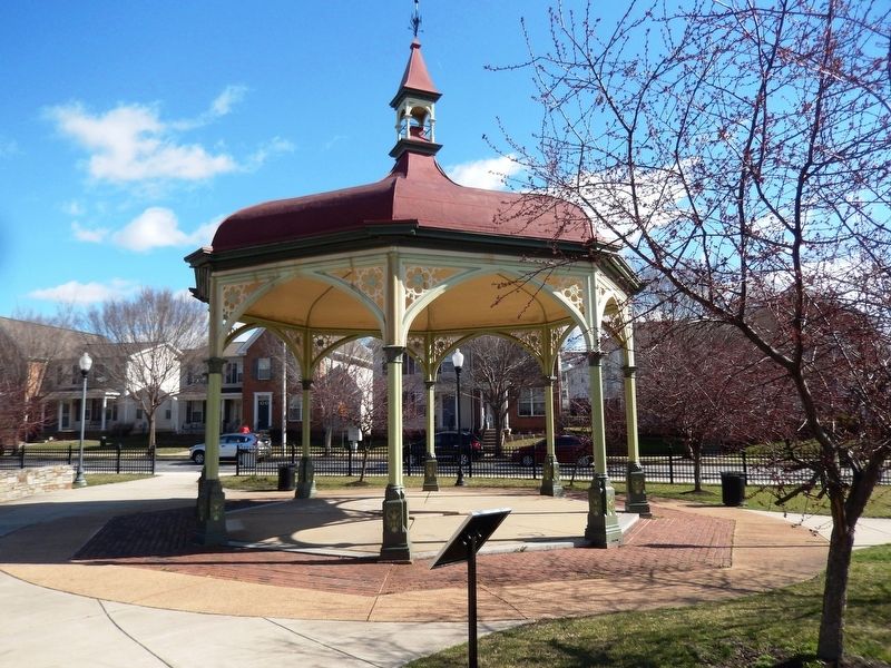
The gazebo, octagonal in shape, comprises eight cast-iron columns which support a metal roof. The architectural details capture Moorish influences, most notably in the arches and the roof shape. The cast-iron construction, a rarity today, also lends significance as an example of a building technology for which Baltimore was a national center of production.
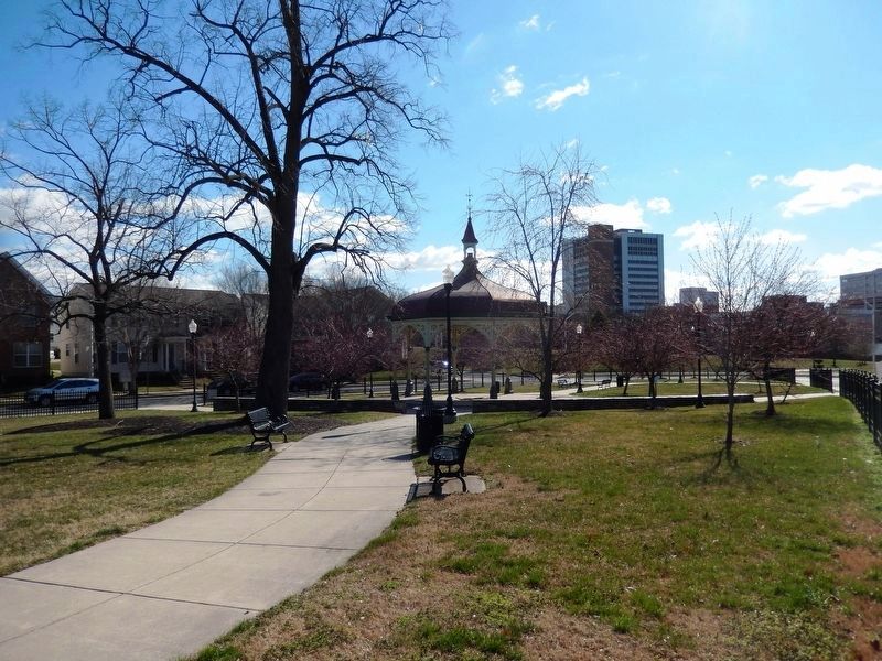
In 1963, the city razed the surrounding neighborhood for the development of the Murphy Homes housing project. This development was later demolished to create Heritage Crossing, a new housing development. The gazebo stands as a centerpiece for
Heritage Crossing, and remains as one of two spring shelters existing in Baltimore.Erected by City of Baltimore, Stephanie Rawlings-Blake, Mayor.
Topics and series. This historical marker is listed in these topic lists: African Americans • Architecture • Charity & Public Work. In addition, it is included in the Maryland, Baltimore City historical markers series list. A significant historical year for this entry is 1871.
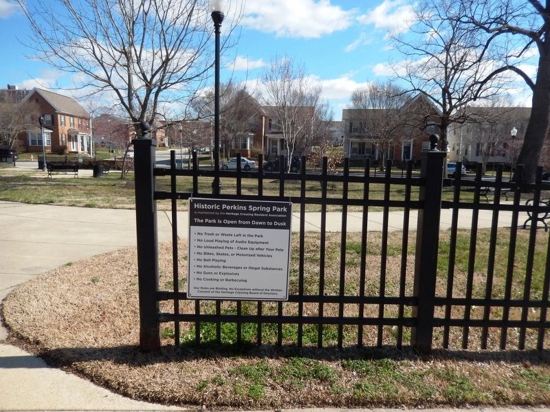
Location. 39° 17.737′ N, 76° 37.727′ W. Marker is in Baltimore, Maryland. It is in Heritage Crossing. Marker is on Myrtle Avenue. The marker is located in Historic Perkins Spring Park. Touch for map. Marker is in this post office area: Baltimore MD 21201, United States of America. Touch for directions.
Other nearby markers. At least 8 other markers are within walking distance of this marker. The Oblate Sisters of Providence (about 700 feet away, measured in a direct line); Take a Stroll Down the Main Street of the African American Experience (approx. 0.2 miles away); Historic Chapel of St. Mary's Seminary & University (dedicated 1808) (approx. ¼ mile away); Chapel of the Presentation of the Blessed Virgin Mary in the Temple (approx. ¼ mile away); St. Mary's Seminary (approx. ¼ mile away); The Western District Station House (approx. 0.3 miles away); Orchard Street Church (approx. 0.3 miles away); How did this park get its name? (approx. 0.3 miles away). Touch for a list and map of all markers in Baltimore.
Credits. This page was last revised on February 17, 2021. It was originally submitted on March 12, 2017, by Don Morfe of Baltimore, Maryland. This page has been viewed 295 times since then and 17 times this year. Photos: 1, 2, 3, 4, 5, 6. submitted on March 12, 2017, by Don Morfe of Baltimore, Maryland. • Bill Pfingsten was the editor who published this page.
