Simsbury in Hartford County, Connecticut — The American Northeast (New England)
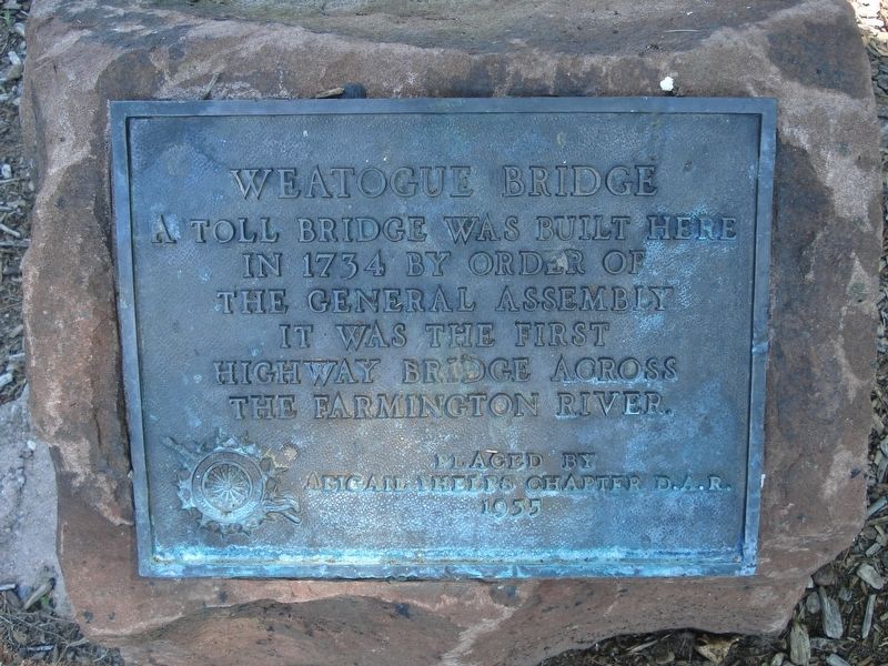
Weatogue Bridge
in 1734 by order of
the General Assembly
it was the first
highway bridge across
the Farmington River
Erected 1955 by the Abigail Phelps Chapter of the D.A.R.
Topics and series. This historical marker is listed in these topic lists: Bridges & Viaducts • Colonial Era. In addition, it is included in the Daughters of the American Revolution series list. A significant historical year for this entry is 1734.
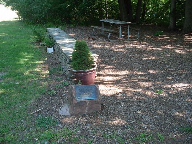
Location. 41° 52.14′ N, 72° 47.988′ W. Marker is in Simsbury, Connecticut, in Hartford County. Marker can be reached from Old Bridge Road, 0.1 miles south of Drake Hill Road. The marker is 0.1 mile south from Drake Hill Road, next to a small parking lot at the end of Old Bridge Road. Touch for map. Marker is in this post office area: Simsbury CT 06070, United States of America. Touch for directions.
Other nearby markers. At least 8 other markers are within walking distance of this marker. Gifford Pinchot Birthplace (approx. 0.3 miles away); Connecticut Charter Oak Descendent (approx. 0.3 miles away); The Ensign-Bickford Company (approx. 0.3 miles away); Eno Memorial Hall (approx. 0.4 miles away); Simsbury Veterans Memorial (approx. 0.4 miles away); Second Hopmeadow School House (approx. 0.4 miles away); Simsbury Revolutionary War Memorial (approx. 0.4 miles away); The Landmark Building (approx. 0.4 miles away). Touch for a list and map of all markers in Simsbury.
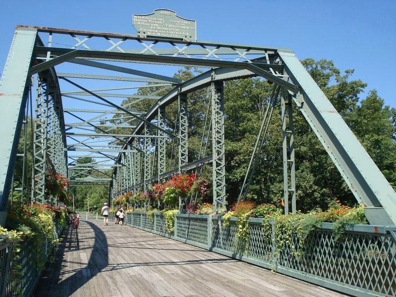
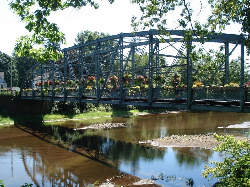
Regarding Weatogue Bridge. Today, local people refer to it as The Old Drake Hill Flower Bridge. The bridge has 62 flower boxes, 32 hanging baskets, and cottage gardens which are planted and maintained by a dedicated group of volunteers. The Old Drake Hill Flower Bridge is a not-for profit, tax exempt organization.
It is an example of 19th century metal-truss bridge construction and was placed on the National Register of Historic Places in 1984. The bridge, built in 1892, is now retained as a pedestrian and bicycle way.
Also see . . .
1. Old Drake Hill Flower Bridge. (Submitted on March 17, 2017, by Alan M. Perrie of Unionville, Connecticut.)
2. Drake Hill Road Bridge. (Submitted on March 17, 2017, by Alan M. Perrie of Unionville, Connecticut.)
Credits. This page was last revised on March 19, 2017. It was originally submitted on March 17, 2017, by Alan M. Perrie of Unionville, Connecticut. This page has been viewed 359 times since then and 23 times this year. Photos: 1, 2, 3, 4. submitted on March 17, 2017, by Alan M. Perrie of Unionville, Connecticut. • Bill Pfingsten was the editor who published this page.


