Riverton in Barkhamsted in Litchfield County, Connecticut — The American Northeast (New England)
Austin Hawes Memorial Campground
Farmington River: Wild & Scenic
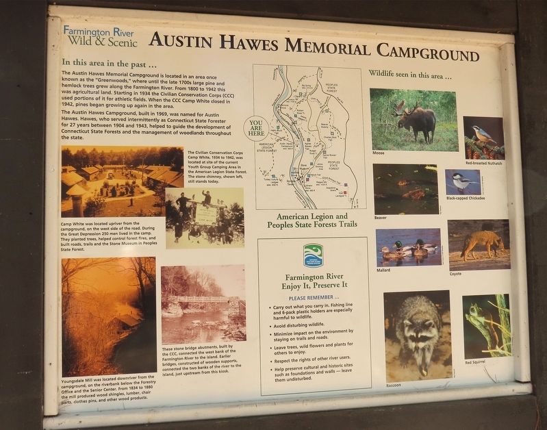
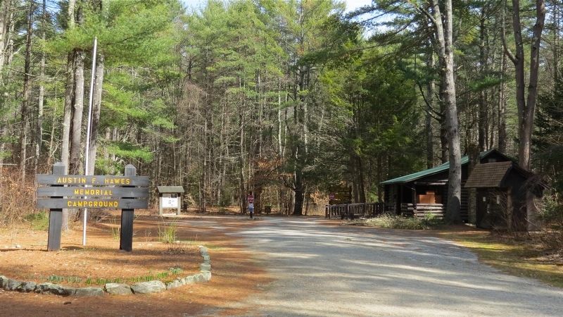
The Austin Hawes Campground, built in 1969, was named after Austin Hawes. Hawes, who served intermittently as Connecticut State Forester for 27 years between 1904 and 1943, helped to guide the development of Connecticut State Forests and the management of woodlands throughout the state.
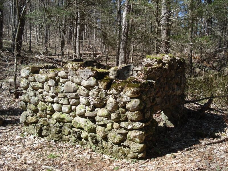
The Civilian Conservation Corps Camp White, 1934 to 1942 was located at the site of the current Youth Group Camping Area in American Legion. The stone chimney still stands today.
Camp White was located upriver from the campground, on the west side of the road. During the Great Depression 250 men lived in the camp. They planted trees, helped to control forest fires, and build roads, trails and the Stone Museum in Peoples State Forest.
Youngsdale Mill was located downriver from the campground, on the riverbank below the Forestry Office and the Senior Center. From 1834 to 1880 the mill produced wood shingles, lumber, chair parts, clothes pins, and other wood products.
Topics and series. This historical marker is listed in these topic lists: Charity & Public Work • Horticulture & Forestry • Parks & Recreational Areas. In addition, it is included in the Civilian Conservation Corps (CCC) series list.
Location. 41° 56.087′ N, 73° 0.166′ W. Marker is in Barkhamsted, Connecticut, in Litchfield County. It is in Riverton. Marker is on West River Road, 1˝ miles north of Route 318, on the right when traveling north. The marker is located 100 yards past the Campground entrance sign. Touch for map. Marker is in this post office area: Barkhamsted CT 06063, United States of America. Touch for directions.
Other nearby markers. At least 8 other markers are within walking distance of this marker. Camp White (approx. 0.4 miles away); Barkhamsted Lighthouse Village Cellar Holes (approx. 0.6 miles away); Barkhamsted Lighthouse Village Grind Stone (approx. 0.6 miles away); Barkhamsted Lighthouse Village Stone Quarry (approx. 0.6 miles away); Barkhamsted Lighthouse Village Cemetery (approx. 0.6 miles away); Peoples State Forest (approx. 0.6 miles away); Barkhamsted Lighthouse Village (approx. 0.6 miles away); Barkhamsted Lighthouse Village Charcoal Kilns (approx. 0.6 miles away). Touch for a list and map of all markers in Barkhamsted.
Also see . . .
1. American Legion State Forest. (Submitted on March 21, 2017, by Alan M. Perrie of Unionville, Connecticut.)
2. CCC shelter. (Submitted on March 21, 2017, by Alan M. Perrie of Unionville, Connecticut.)
3. Farmington Wild and Scenic River. (Submitted on March 21, 2017, by Alan M. Perrie of Unionville, Connecticut.)
Credits. This page was last revised on February 10, 2023. It was originally submitted on March 21, 2017, by Alan M. Perrie of Unionville, Connecticut. This page has been viewed 272 times since then and 16 times this year. Photos: 1, 2, 3, 4. submitted on March 21, 2017, by Alan M. Perrie of Unionville, Connecticut. • Bill Pfingsten was the editor who published this page.


