Ireland's Past - A Prelude to Disaster
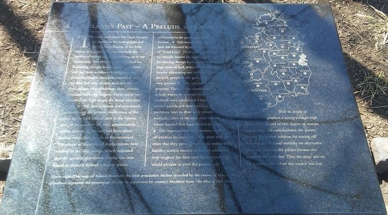
To fully understand The Great Hunger, its impact on the Irish people, and the resulting diaspora of the Irish nation, it is essential to examine both the history of Ireland and events leading up to the catastrophe. The twelfth century marked the beginning of eight hundred years of English rule and Irish resistance. Throughout the centuries, English laws were enacted to strip the Irish not only of their land, but also of their unique cultural heritage, their customs, language, laws, and religion. These unjust laws punished the Irish simply for being who they were. • The mid-sixteenth and seventeenth centuries saw the greatest confiscation of the most fertile Irish land located in the eastern part of the country. By 1691, approximately eighty percent of the land had been taken, forcing many Irish people to flee westward. The results of these forced displacements were evident in the 1841 census, which indicated that the greatest population density was now found in western Ireland, a region where, unfortunately, the poorest farmland was located • This brutal confiscation of land was followed by more than a century of "Penal Laws." These policies, designed to virtually enslave the Gaelic majority by allowing foreign landowners to possess large tracts of land, reduced Irish land holdings thereby eliminating any real participation
of the Irish people in the governing of their own country. To vote, one had to own property. The land was usually owned as large estates by absentee English landlords who subdivided it into smaller parcels and then rented it at predatory rates to their Irish tenants, ironically, often to the very same tenants whose families had once owned the land. • The impoverished Irish farmers warded off eviction by paying the high rents with the crops that they grew. However, to sustain their families, tenants needed to find an additional crop to grow for their own food, a crop that would prosper in even the poorest soil.With its ability to produce a strong yield, its high caloric content, and its rich supply of vitamin C, potassium and carbohydrates, the potato became the perfect solution for staving off their hunger. Because virtually no alternative food was available, the potato became the staple of the Irish diet. Thus the stage was set for a catastrophe when this source was lost.
[Caption at bottom left reads] Above right: This map of Ireland illustrates the Irish population decline recorded by the census of 1841 to 1851. (Numbers represent the percentage decline in population by county.) Modified from "An Atlas of Irish History" by Ruth Dudley Edwards
Erected 2003 by Concerned Citizens and Organizations. (Marker Number 1.)
Topics. This historical marker is listed in these topic lists: Agriculture • Disasters • Government & Politics • Settlements & Settlers. A significant historical year for this entry is 1691.
Location. 39° 56.878′ N, 75° 8.534′ W. Marker is in Philadelphia, Pennsylvania, in Philadelphia County. It is in Old City. Marker is at the intersection of Chestnut Street and Front Street, on the right when traveling east on Chestnut Street. Touch for map. Marker is at or near this postal address: 100 Chestnut St, Philadelphia PA 19106, United States of America. Touch for directions.
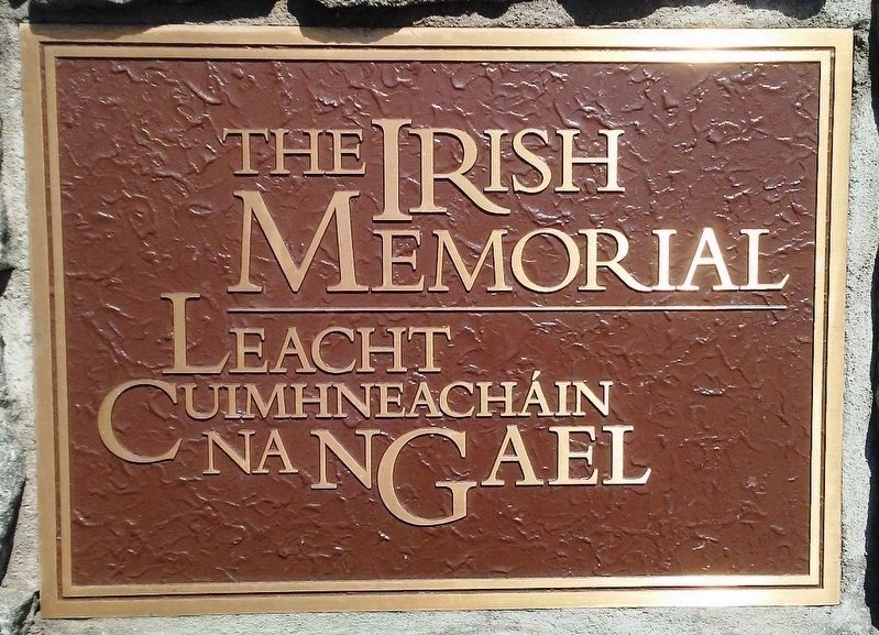
Other nearby markers. At least 8 other markers are within walking distance of this marker. The Potato Blight - Its Origin (here, next to this marker); An Gorta Mór - Ireland's Great Hunger (here, next to this marker); Starvation (here, next to this marker); The Irish Memorial / Leacht Cuimhneacháin na nGael (a few steps from this marker); Lorenzo L. Langstroth (a few steps from this marker); Arrival and Reception (within shouting distance of this marker); Passage and Emigration (within shouting distance of this marker); The Lessons of The Great Hunger (within shouting distance of this marker). Touch for a list and map of all markers in Philadelphia.
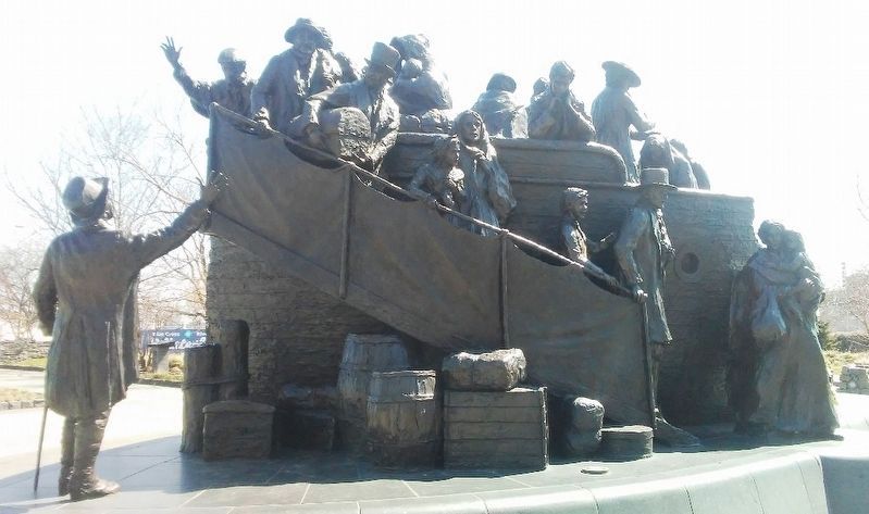
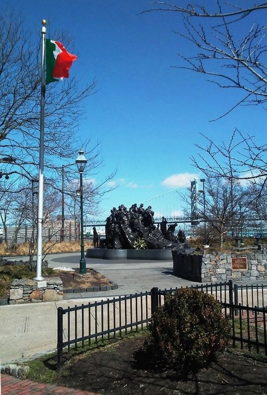
Regarding Ireland's Past - A Prelude to Disaster. Marker is part of The Irish Memorial.
Also see . . .
1. The Irish Memorial [Philadelphia]. (Submitted on March 28, 2017, by William Fischer, Jr. of Scranton, Pennsylvania.)
2. The Irish Potato Famine, 1847. (Submitted on March 28, 2017, by William Fischer, Jr. of Scranton, Pennsylvania.)
3. Great Irish Famine Commemoration. (Submitted on March 28, 2017, by William Fischer, Jr. of Scranton, Pennsylvania.)
4. Irish Famine Archive. (Submitted on March 28, 2017, by William Fischer, Jr. of Scranton, Pennsylvania.)
Credits. This page was last revised on February 2, 2023. It was originally submitted on March 27, 2017, by William Fischer, Jr. of Scranton, Pennsylvania. This page has been viewed 215 times since then and 10 times this year. Photos: 1, 2, 3, 4, 5, 6. submitted on March 28, 2017, by William Fischer, Jr. of Scranton, Pennsylvania.
