Near Winterville in Aroostook County, Maine — The American Northeast (New England)
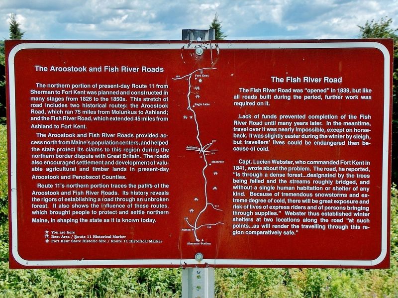
The Aroostook and Fish River Roads
The northern portion of present-day Route 11 from Sherman to Fort Kent was planned and constructed in many stages from 1826 to the 1850s. This stretch of road includes two historical routes: the Aroostook Road, which ran 75 miles from Molunkus to Ashland; and the Fish River Road, which extended 45 miles from Ashland to Fort Kent.
The Aroostook and Fish River Roads provided access north from Maine’s population centers, and helped the state protect its claims to this region during the northern border dispute with Great Britain. The roads also encouraged settlement and development of valuable agricultural and timber lands in present-day Aroostook and Penobscot Counties.
Route 11’s northern portion traces the paths of the Aroostook and Fish River Roads. Its history reveals the rigors of establishing a road through an unbroken forest. It also shows the influence of these routes which brought people to protect and settle northern Maine, in shaping the state as it is known today.
The Fish River Road
The Fish River Road was “opened” in 1839, but like all roads built during the period, further work was required on it.
Lack of funds prevented completion of the Fish River Road until many years later. In the meantime, travel over it was nearly impossible, except on horseback. It was slightly easier during the winter by sleigh, but travelers’ lives could be endangered then because of cold.
Capt. Lucien Webster, who commanded Fort Kent in 1841, wrote about the problem. The road, he reported, “is through a dense forest… designated by the trees being felled and the streams roughly bridged, and without a single human habitation or shelter of any kind. Because of tremendous snowstorms and extreme degree of cold, there will be great exposure and risk of lives of express riders and of persons bringing through supplies.” Webster thus established winter shelters at two locations along the road “at such points… as will render the traveling through this region comparatively safe.”
Topics. This historical marker is listed in these topic lists: Roads & Vehicles • Settlements & Settlers. A significant historical year for this entry is 1839.
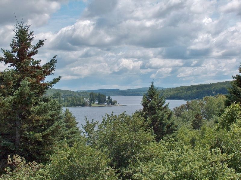
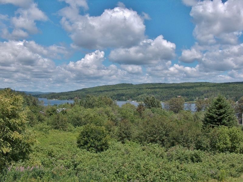
Location. 46° 55.904′ N, 68° 31.658′ W. Marker is near Winterville, Maine, in Aroostook County. Marker can be reached from Aroostook Road (Maine Route 11) 0.1 miles south of Pennington Pond Road. Marker is located at the end of Hedgehog Mountain Trail, overlooking Saint Froid Lake. The trail is accessed from Hedgehog Mountain rest area, on the west side of Maine Highway 11. Touch for map. Marker is at or near this postal address:
Aroostook Road, Eagle Lake ME 04739, United States of America. Touch for directions.
Also see . . . Fish River (Maine).
From its start at the confluence of Fox Brook and Carr Pond Stream, Fish River runs north to Fish River Lake, then east to Portage Lake. It then runs northwards through St. Froid Lake and Eagle Lake to the Saint John River at Fort Kent. The latter section is roughly parallel to Maine State Route 11. (Submitted on April 3, 2017, by Cosmos Mariner of Cape Canaveral, Florida.)
Credits. This page was last revised on April 5, 2017. It was originally submitted on April 3, 2017, by Cosmos Mariner of Cape Canaveral, Florida. This page has been viewed 357 times since then and 14 times this year. Photos: 1, 2, 3, 4. submitted on April 3, 2017, by Cosmos Mariner of Cape Canaveral, Florida. • Bill Pfingsten was the editor who published this page.
Editor’s want-list for this marker. A wide shot of the marker and its surroundings. • Can you help?


