Prairie in Monroe County, Mississippi — The American South (East South Central)
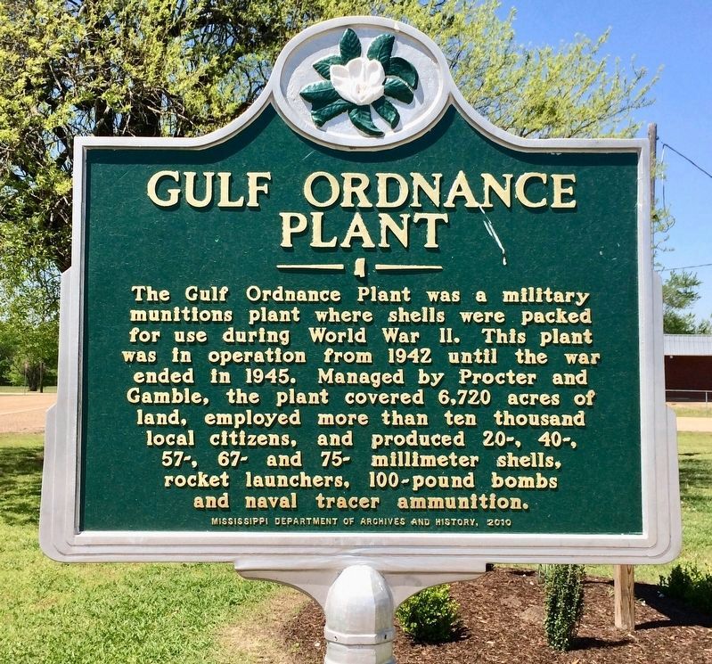
Gulf Ordnance Plant
Erected 2010 by the Mississippi Department of Archives and History.
Topics. This historical marker is listed in these topic lists: Industry & Commerce • Military • War, World II. A significant historical year for this entry is 1942.
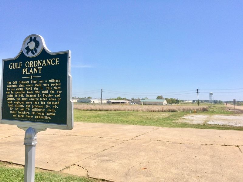
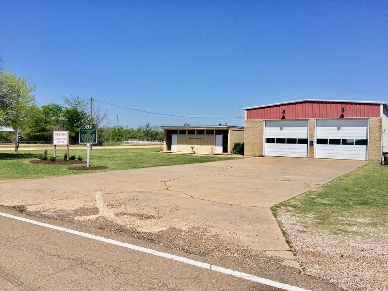
Location. 33° 47.809′ N, 88° 39.718′ W. Marker is in Prairie, Mississippi, in Monroe County. Marker is on Mississippi Route 382 west of Jeff Davis Road, on the right when traveling west. Touch for map. Marker is at or near this postal address: 10203 MS-382, Prairie MS 39756, United States of America. Touch for directions.
Other nearby markers. At least 8 other markers are within 7 miles of this marker, measured as the crow flies. The Lenoir Plantation (approx. 3.3 miles away); Reuben Davis (approx. 6.4 miles away); Judge Eugene O. Sykes (approx. 6.6 miles away); Aberdeen (approx. 6.7 miles away); Dr. W. A. Evans (approx. 6.8 miles away); St. John's Episcopal Church (approx. 6.8 miles away); Brigadier General John Gregg (approx. 7 miles away); Aberdeen Mississippi Blues (approx. 7.1 miles away).
Also see . . .
1. Blog on the Gulf Ordnance Plant. (Submitted on April 10, 2017, by Mark Hilton of Montgomery, Alabama.)
2. Stories of the South - Gulf Ordnance Plant Prairie, MS (blog). (Submitted on April 10, 2017, by Mark Hilton of Montgomery, Alabama.)
Credits. This page was last revised on April 10, 2017. It was originally submitted on April 10, 2017, by Mark Hilton of Montgomery, Alabama. This page has been viewed 762 times since then and 61 times this year. Photos: 1, 2, 3. submitted on April 10, 2017, by Mark Hilton of Montgomery, Alabama.


